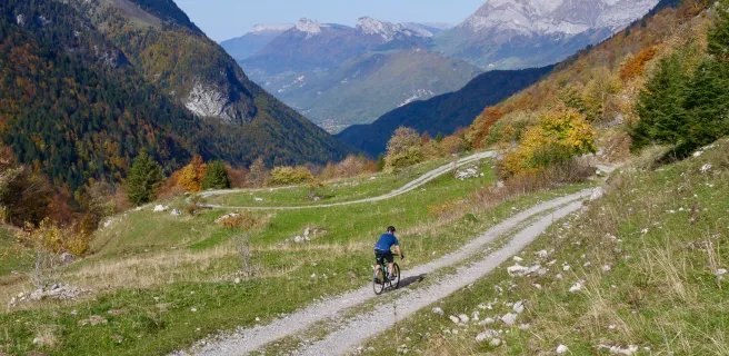
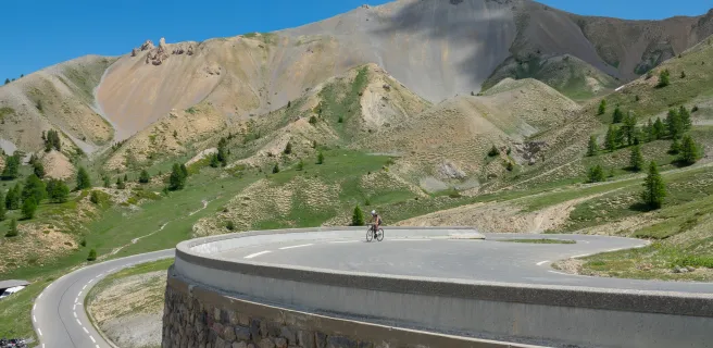
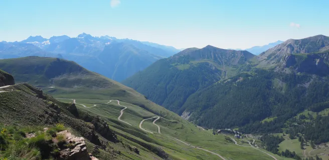
Route des Grandes Alpes Gravel
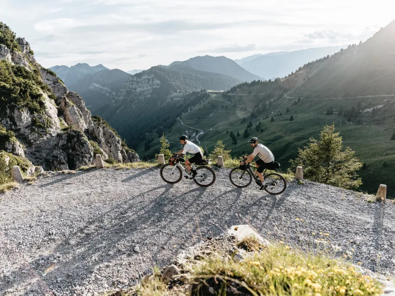
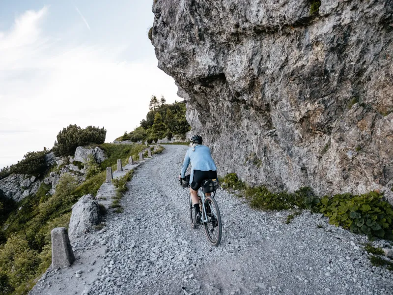

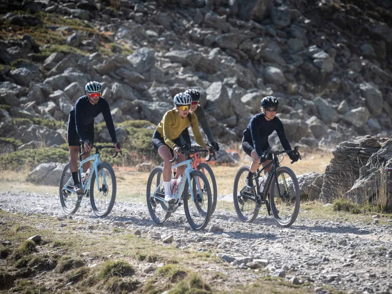
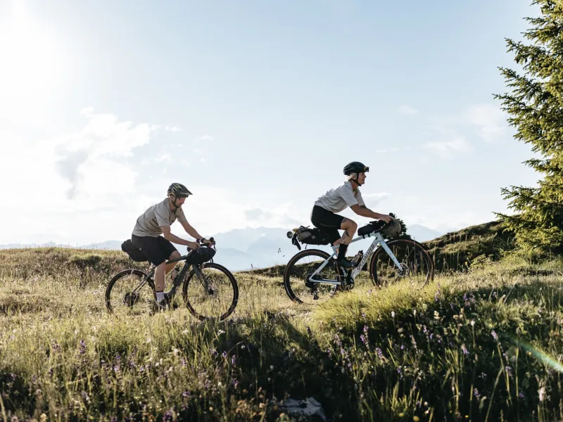
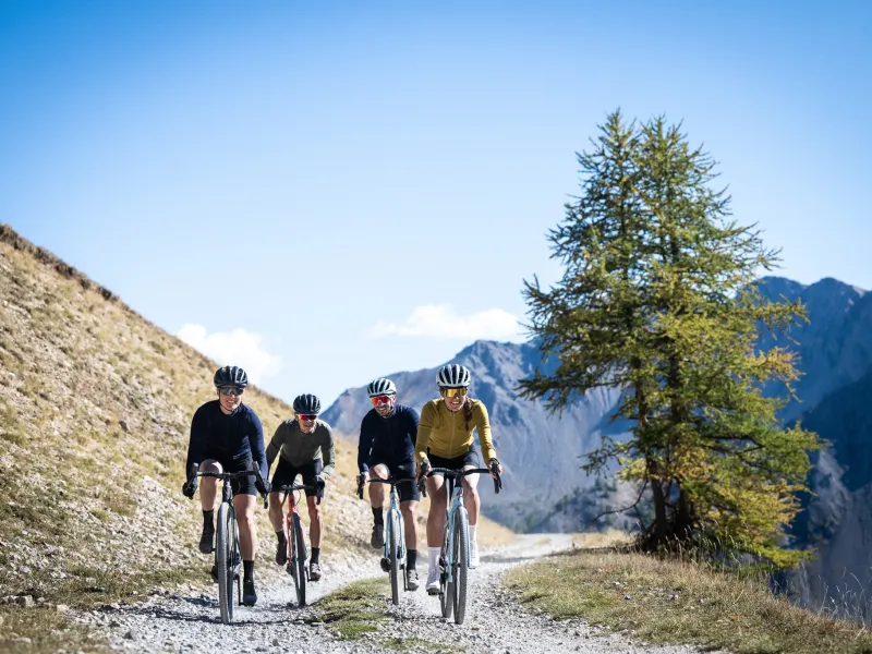

Like Route des Grandes Alpes® in road bike mode, Route des Grandes Alpes Gravel® links Thonon-les-Bains (Haute-Savoie) to Nice (Alpes Maritimes). With almost 28,000 m of positive elevation gain over 857 km of varied road surfaces, it's even more challenging than its illustrious "elder". You may even have to push your bike! By taking the back roads, Route des Grandes Alpes Gravel® will introduce you to other major passes, other villages, other landscapes... An experience of complete freedom that will stay with you for the rest of your life!
Gradients and elevation
Which way to go on Route des Grandes Alpes Gravel®?
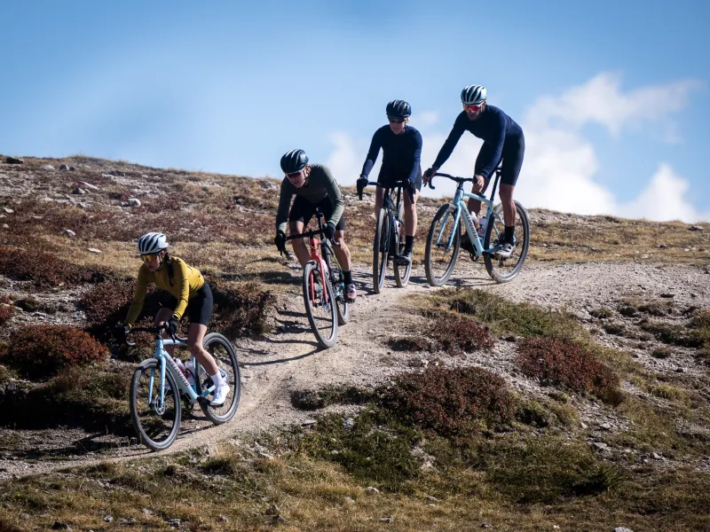
In gravel, not all climbs and descents are interchangeable. Consequently, we strongly advise you to ride this route from north to south.
In how many days?
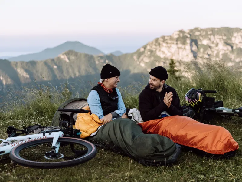
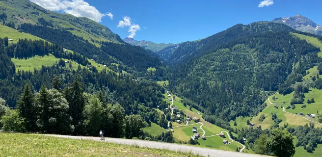
We've divided the route into 19 sections, from 36 to 59 km. On the north-south axis, the minimum/maximum positive vertical drops are 750 / 2020 m. Ideally, you should have 10 days, or even better, two weeks, to complete this route in the best possible conditions and fully appreciate the extraordinary landscapes you'll be crossing.
When to go?
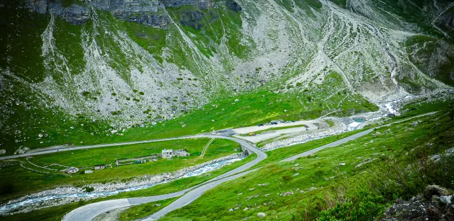
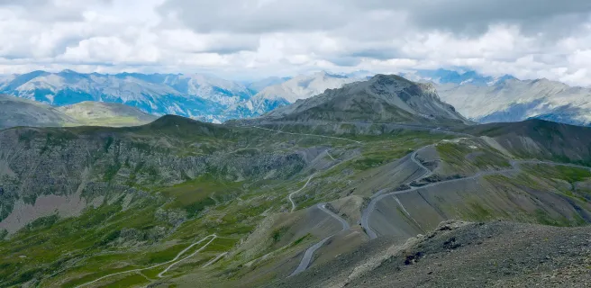
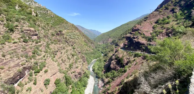
Route des Grandes Alpes Gravel® is a "high road", which will take you over high-altitude passes, which no variant, to date, will enable you to avoid. So be sure to ask about road conditions and access to the passes at the start of your trip.
Difficulty
We have classified the entire Route des Grandes Alpes Gravel® itinerary as "Very Difficult", even though it is possible to soften it, using an electric gravel bike. This classification, necessarily subjective, is justified:
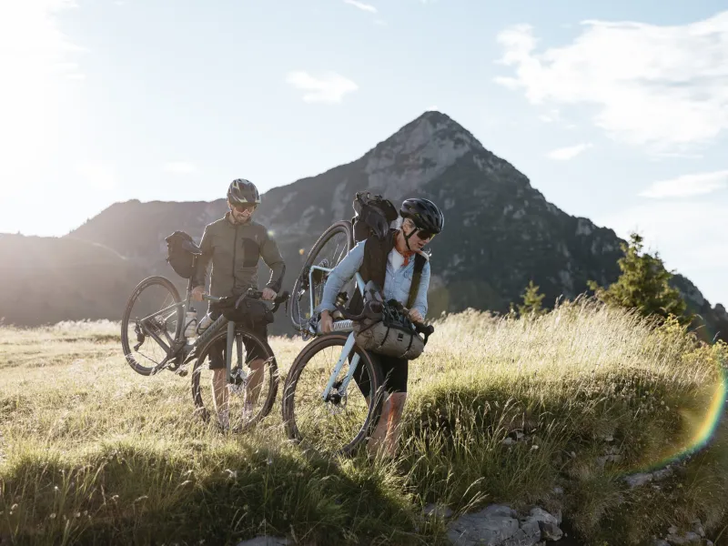
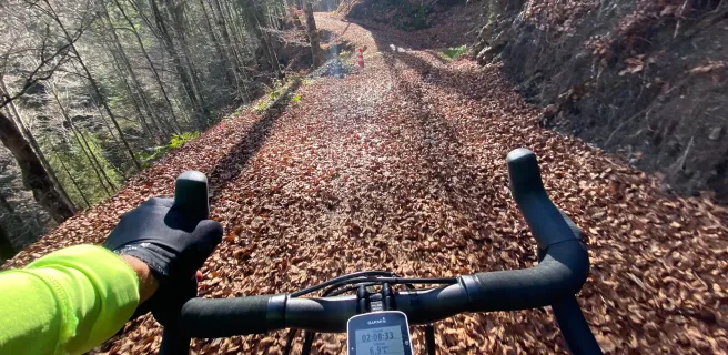
- By the presence of technical to very technical passages (including single) that can lead to bike "pushes.
- By evolving inhigh mountain atmospheres.
Easier, thanks to the VAE!
Gravel bikes are available in electric versions, which will make life easier for you, or allow you to embark on the adventure with friends (es) of different levels. The Route des Grandes Alpes Gravel® route we offer has been designed so that you'll always find recharging stations (see mapping for each stage).
Together, let's map out the best possible route
Route des Grandes Alpes Gravel® is an itinerary with room for improvement. By reporting your experience, you'll help us improve it and map out variants. Story your trip
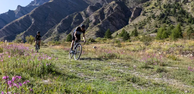
About Gravel
Between road and mountain biking, Gravel is a specific activity, in terms of the routes taken, equipment and gear, preparation, organization... It's also a different approach to the natural and cultural heritage of the Alps. To find out more about the practical aspects of Gravel: link to article in "Practice" section. To find out more about Gravel's new Alpine horizons: discover our article in the "Discover" section.
Trains and transport on the route
View infrastructure on the map
Reviews for Route des Grandes Alpes Gravel
"Accueil Vélo" accommodation on Route des Grandes Alpes Gravel
113 Accueil Vélo accommodations await you on Route des Grandes Alpes Gravel!
View accommodations on the map
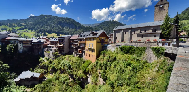
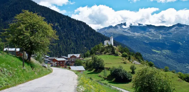
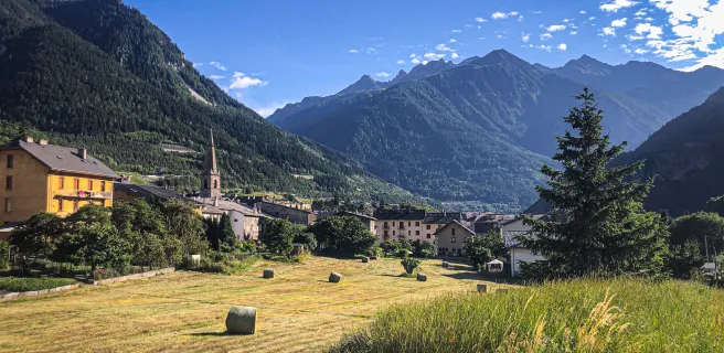
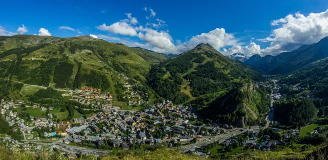
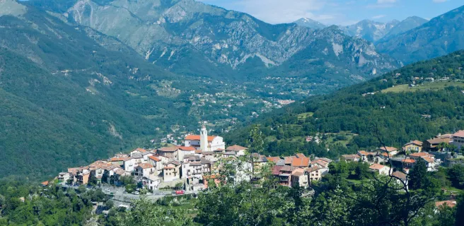
The 19 stages of Route des Grandes Alpes Gravel
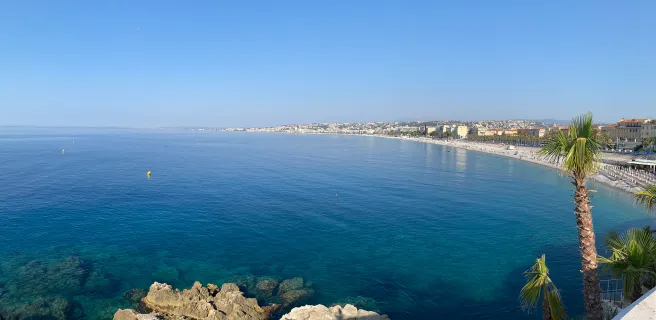
1 Thonon-les-Bains / Morzine-Avoriaz
2 Morzine-Avoriaz / Cluses

3 Cluses / Le-Grand-Bornand
4 Le Grand-Bornand / Flumet
5 Flumet / Arêches-Beaufort
6 Arêches / Bourg-Saint-Maurice
7 Bourg-Saint-Maurice / Tignes
8 Tignes / Bessans
9 Bessans / Modane
10 Modane / Valloire
11 Valloire / Briançon
12 Briançon / Guillestre
13 Guillestre / Crévoux
14 Crévoux / Barcelonnette
15 Barcelonnette / Saint-Dalmas-le-Salvage
16 Saint-Dalmas-le-Selvage / Marie
17 Marie / La Bollène-Vésubie
20 La Bollène Vésubie / Coaraze