Valloire / Briançon
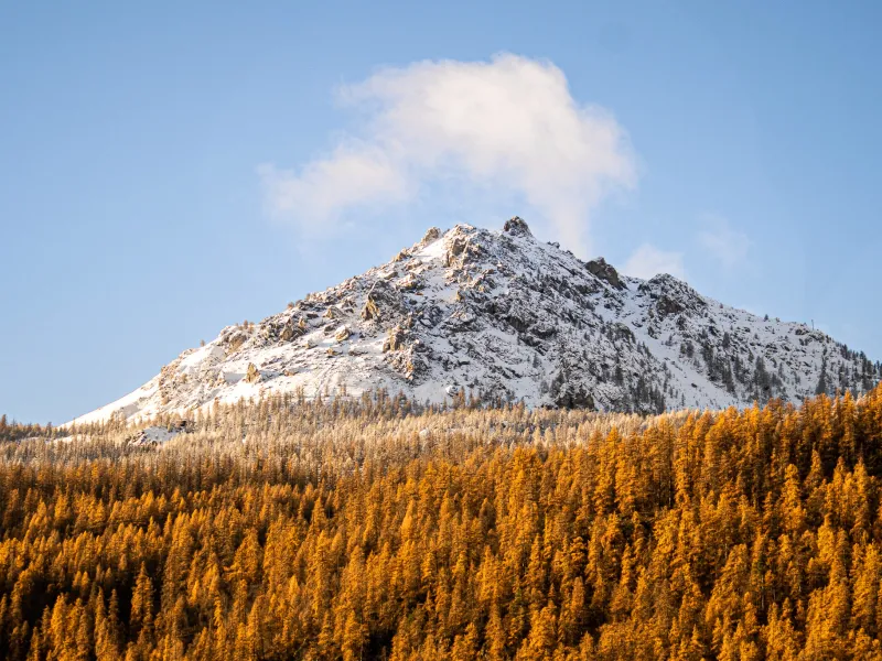

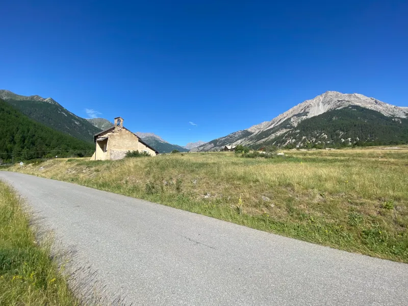
Watch out, this high-altitude stage may take you through spectacular wild parts, but there’s a very technically challenging 5km stretch from Le Seuil (or Col) des Rochilles to the Refuge des Drayères – you will need to dismount and push your bike at times. It’s a magical challenge, but if you prefer to avoid it, you can reach Briançon via the “normal” route from the Col du Galibier. Leaving Valloire, follow the valley bottom to the start of the ascent to the Col du Galibier, but here you need to branch off in the direction of the heart of the Massif des Cerces Range. Early on, you’ll ride past the Camp des Rochilles, a fort built as part of the Maginot Line (a series of defences constructed in the 1930s to try and protect France from bellicose Fascist countries to the east), then past the mountain refuge of the same name. Enjoy glimpses of the Lac du Grand Ban, then Lac Rond, as the great obstacle of Le Seuil des Rochilles (or Col des Rochilles) rises up in front of you. Expect to have to push your bike for c.1.5km along the next stretch, but it’s well worth the effort. Having passed the Refuge des Drayères, you enter the Clarée, or Névache, Valley, a natural gem in the département (French county) of Hautes-Alpes. Coming out onto the Route du Col de Montgenèvre, there are just a few more kilometres on tarmacked road to ride down to reach the fortified historic town of Briançon.
Gradients and elevation
Passage points
VALLOIRE > Les Verneys > Bonnenuit > Plan Lachat > Les Mottets > Camp des Rochilles > COL DES ROCHILLES (passages très techniques – poussages possibles) > Seuil (ou col) des Rochilles > Refuge des Drayères > Laval > Fontcouverte > NEVACHE > Carrefour Pas de l’Echelle > Rive Droite Clarée > Plampinet > Rive droite > Val-des-Prés > Le Serre > Rive Gauche > Le Canton > LA VACHETTE > Le Fontenil > BRIANÇON
Don't miss
- Ephemeral sculptures at Valloire : It was back in 1984 that the first snow-sculpting competition took place here. A few years later, in 1991, the ice-sculpting competition was introduced, adding to Valloire’s January magic. The next logical step was to create a similar summer event, with ephemeral (or temporary) sculptures, so the international competition for straw and hay sculpting was born! These events quickly became very popular, attracting participants from across the globe.
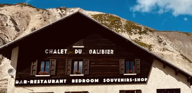
- Col du Galibier (2,642m in altitude) : From Valloire, if on for the challenge, you can ride up almost 18km to reach the summit of the Galibier, a pass located at 2,642m in altitude. The climb divides into three stages: the first, up to Plan Lachat, is energy-sapping; the second leads you through an extraordinarily impressive wild, stony landscape; the third is very short, lasting just 1km, but what a soul-sapping kilometre, the pass looking so close, but perched so high, like a wall, this last stretch at a gradient of 9.5%. Note that you can’t cheat by taking the tunnel, as it’s forbidden to cyclists! At the summit, you feel a bit like you’re on top of the world, able to survey both France’s northern and southern Alps.
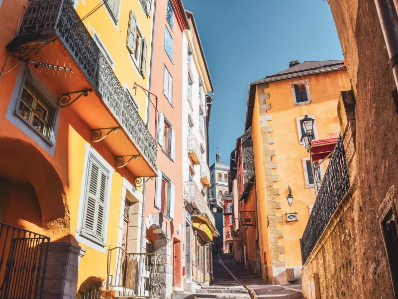
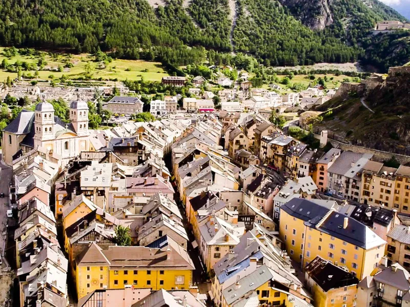
- Briançon, part of a UNESCO World Heritage Site : Its splendid ramparts, bridge and four forts, elements designed by Louis XIV’s great military architect, have enabled Briançon to feature as part of a dedicated UNESCO World Heritage Site. The highest fortified town in Europe, Briançon has also been designated a Ville d’Art et d’Histoire for its rich heritage. Additionally, it includes the ski resort of Serre-Chevalier 1200, at the lowest point in the wider ski area of Serre-Chevalier, to which it’s linked by cable car.