Modane / Valloire
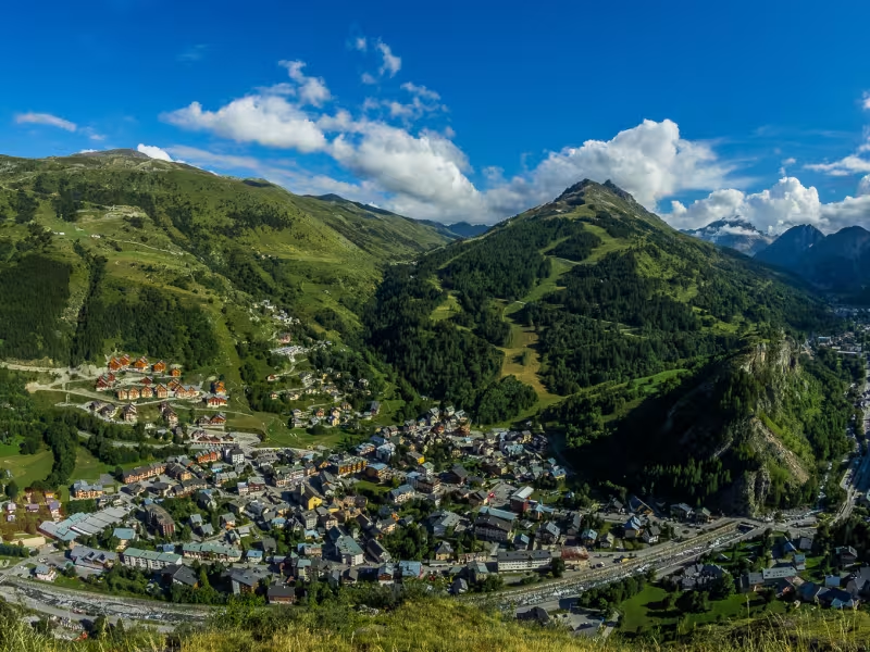
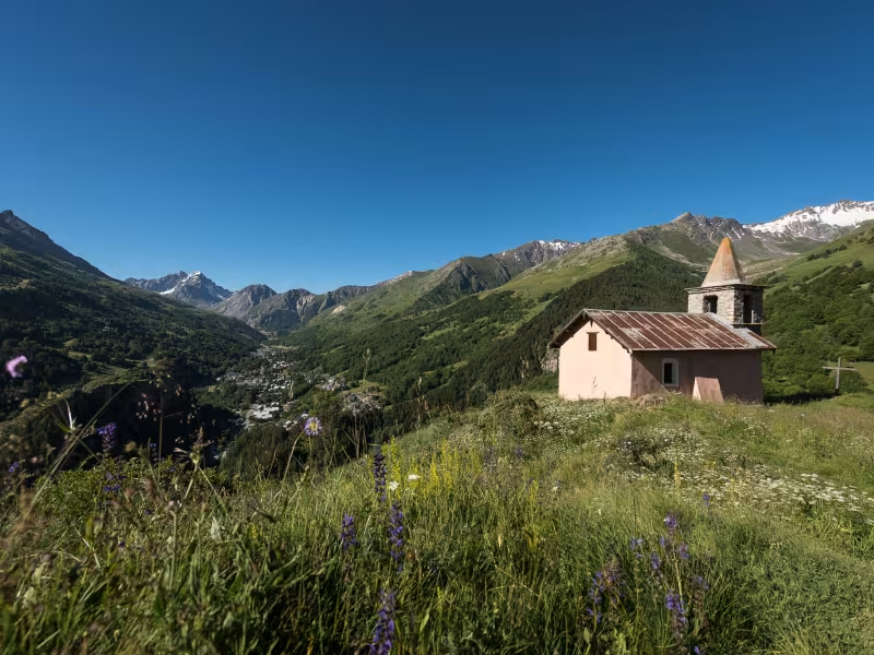
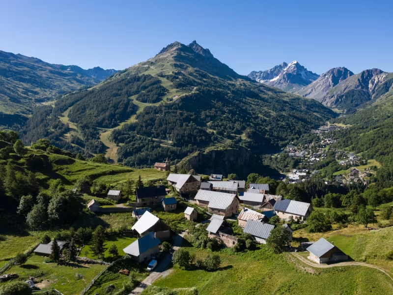
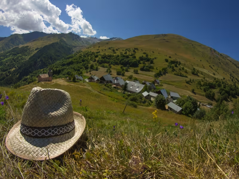
Leaving Modane, the cycle route runs beside the Arc River and the motorway until you join the Route Forestière de la Grande Roche up to Valmeinier, the most recently created mountain resort in the Maurienne, its ski area linked in winter to that of Valloire. Here, between the Parc de la Vanoise and Mont Thabor (a distinctive mountain), the landscapes are magnificent. After leaving Valmeinier, your route runs alongside the Route du Col du Télégraphe and the classic Route des Grandes Alpes®. You will join this route to descend to Valloire.
Gradients and elevation
Slope breakdown
Road types
- Cycle path
- Routes reserved for cyclists and pedestrians (greenways, cycle tracks, towpaths), separated from cars for maximum safety.
- Shared road
- Quiet minor roads with little traffic (unless otherwise stated in the stage details). Shared with cars (stay alert).
- Not specified
- Data unavailable or being assessed. Please refer to the detailed stage description.
- Provisional
- Section on a road or cycle path awaiting better-quality facilities (see stage details).
Surface
- Smooth
- Asphalt, tarmac or smooth concrete. Optimal comfort.
- Rough
- Fine gravel, compacted stabilised surface or worn tarmac. Less comfortable, vibrations possible.
- Natural
- Dirt, grass, roots or stones. Under 5%: short sections with little impact. Higher percentage: route suited to mountain or gravel bikes only.
- Not specified
- Data unavailable or being assessed. Please refer to the detailed stage description.
Passage points
MODANE > Quartier Sommeiller > D215 > LE FRENEY > D215 > SAINT-ANDRE > La Praz neuve > D1006 > Rue de la Gare > Route forestière de la Grande Roche > La Grande Roche > VALMEINIER > Arméra > Chapelle Notre-Dame de la Vie > Le Col > Les Granges > VALLOIRE
Don't miss
- Alpine defences and fortresses : The Alps form a natural frontier between France and Italy, and they also boast a remarkable historical man-made heritage amidst the mountains. All along this cycle route, some 30 Alpine forts, both French and Italian, reflect the military history of these parts, going from the 16th to the 20th century. Among them is the Fort du Télégraphe, built between 1885 and 1893 on the site of an earlier Chappe aerial telegraph relay point on the Paris-Milan imperial line. To explore it and enjoy unbeatable views down the Maurienne Valley, you just need to climb a bit up the Route du Col du Télégraphe, which you join on the descent towards Valloire. From the car park at the pass, a 10-minute walk will take you to the fort.
- The largest mountain cycling area in the world : This is the slogan chosen by the tourist authorities of the Maurienne Valley, which stretches from the Col de l’Iseran to the point where the Arc River emerges in the Combe de Savoie. The area contains the most extraordinary concentration of iconic mountain passes: Iseran, Galibier, Croix-de-Fer, Madeleine, Glandon, Montcenis, and more…
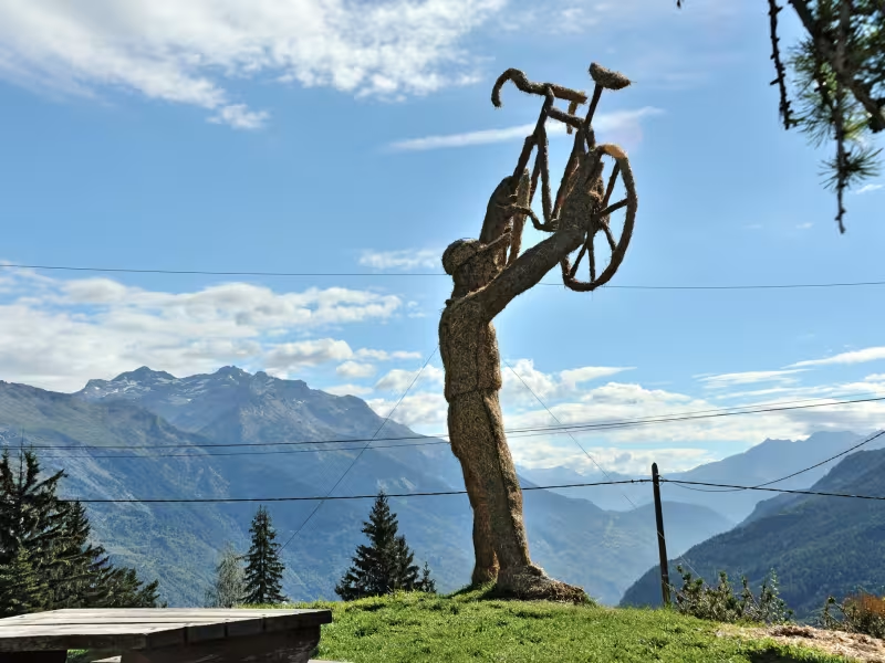
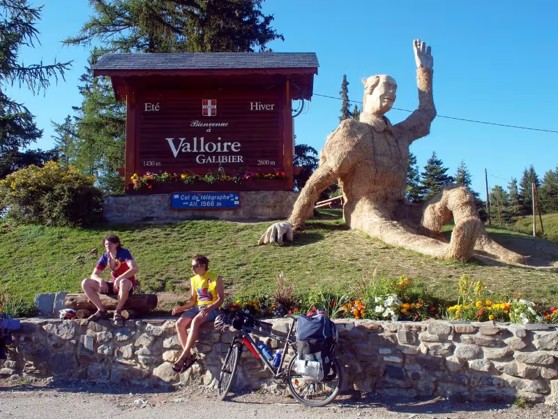
- Valloire-Galibier, a very invigorating place : Valloire, on the southern edge of the département (French county) of Savoie, lies deep down in a valley sandwiched between the Col du Télégraphe (a pass at 1,570m in altitude) and the iconic Col du Galibier (2,642m). Valloire can boast of being one of the most unspoilt villages in the Maurienne area. Here, where northern and southern French Alps meet, the locals are deeply attached to their mountain roots. All around, the dramatic views are entrancing. In these exceptional parts dominated by the likes of the Grand Galibier and Aiguilles d’Arve summits, mind and body feel the benefits of the exhilarating surrounds. Valloire-Galibier has also established a reputation as world capital of ephemeral, or temporary, sculptures, be they made of snow, ice, straw or hay!