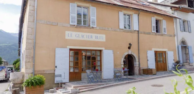
Briançon / Guillestre
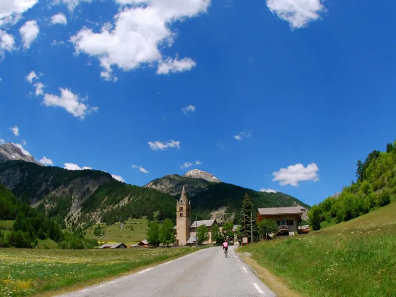
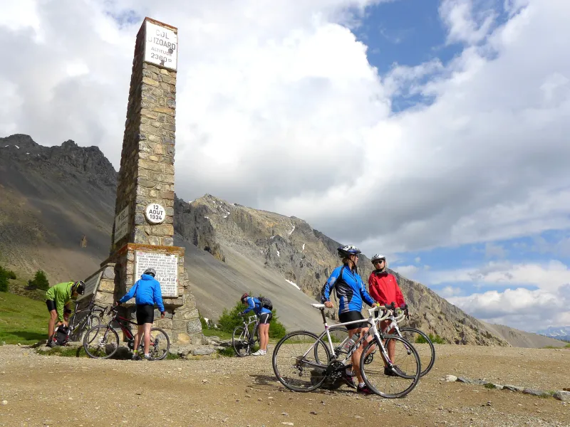
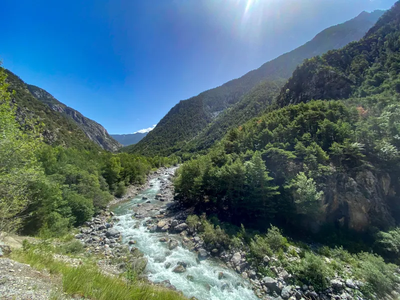
This stage does follow the classic Route des Grandes Alpes®, via Cervières and the Col de l’Izoard. Its originality lies in the fact that it begins in the midst of Briançon’s fortifications, thanks to which the town gained its UNESCO listing. Next, this stage leads you to the summit of the Col de l’Izoard (at 2,360m in altitude). On the descent, you pass via La Casse Déserte, with its impressive mineral landscapes, very curious rocky peaks sticking out here and there. Next come Brunissard, Arvieux and, at the end, the crossroads for the Route de Guillestre, a mountain town you’ll reach by following the Guil River for several kilometres.
Gradients and elevation
Passage points
Briançon (Citadelle) > Fort des têtes > D902 > Cervières > Le Laus > La Pinatelle > D902 > COL D’IZOARD > La Casse Déserte > Brunissard > ARVIEUX > D902 > Maison du Roy > GUILLESTRE
Don't miss
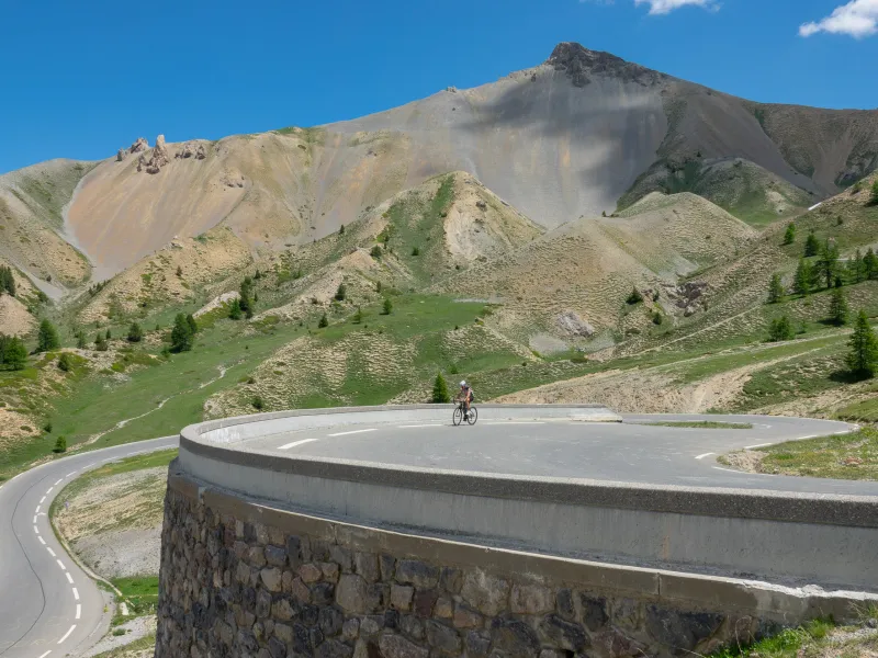
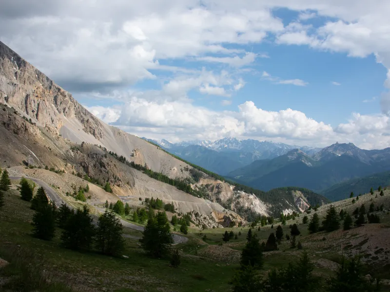
- The Col d’Izoard, or de l’Izoard (2,360m in altitude) : Here you arrive at the start of France’s southern Alps. See how the vegetation begins to change under the brighter southern sun. The climb to the pass is long, crossing the village of Cervières, behind which hides the Vallée des Fonts, a peaceful gem, its heritage unspoilt. In the final stretches, you tackle an impressive series of hairpin bends, watched over by the famed Refuge Napoléon. On the other side of the pass, the extraordinary Casse Déserte awaits, with its fabulous natural décor.
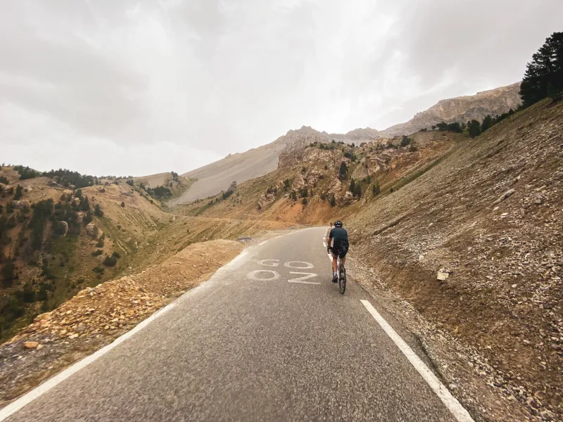
- La Casse Déserte : The Alps, lifted up by powerful tectonic shifts, are full of surprises. Following the Route des Grandes Alpes®, you can’t help but marvel at the natural spectacle of rocks pushed up so high from the bottom of the seas, then shaped by millions of years of erosion and earthquakes. The iconic Casse Déserte, on the southern flank of the Col de l’Izoard, justifies stopping your descent towards the Queyras area to appreciate these effects to the full.
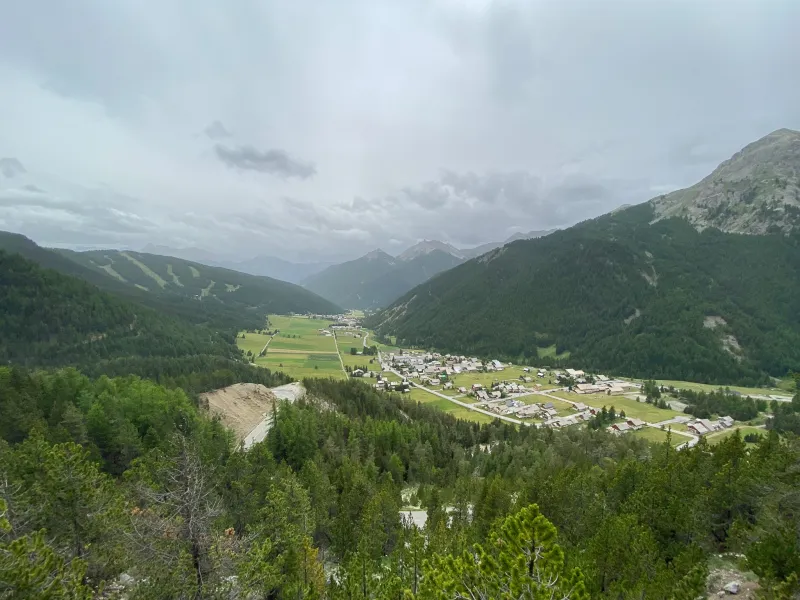
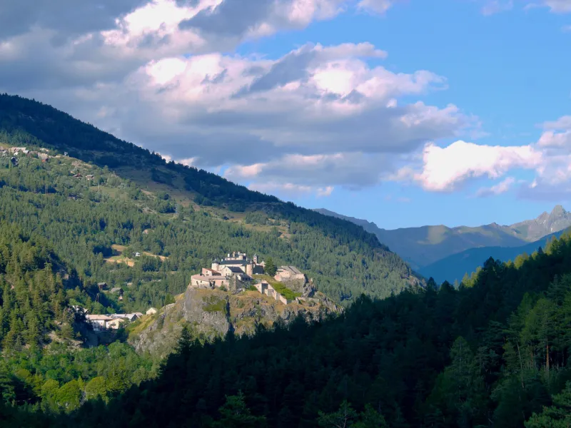
- Le Queyras : Dominated by Monte Viso, a mountain just across the border in Italy, the Parc Naturel Régional du Queyras is a long-inhabited rural mountainous area recognized at national level for the value of its exceptional landscapes and heritage. The pretty little town of Guillestre, with the Vauban-designed Mont-Dauphin fortifications perched on high above it, along with eight traditional villages, now greet visitors to this range, both peaceful and unspoilt. It makes a melodic mix of words just reading the village names out loud: Abriès, Aiguilles, Arvieux, Ceillac, Château Ville-Vieille (with Fort Queyras), Molines-en-Queyras, Ristolas and Saint-Véran, the last the highest village in Europe.