All stages on Route des Grandes Alpes Gravel
Guillestre / Crévoux
Kinaphoto 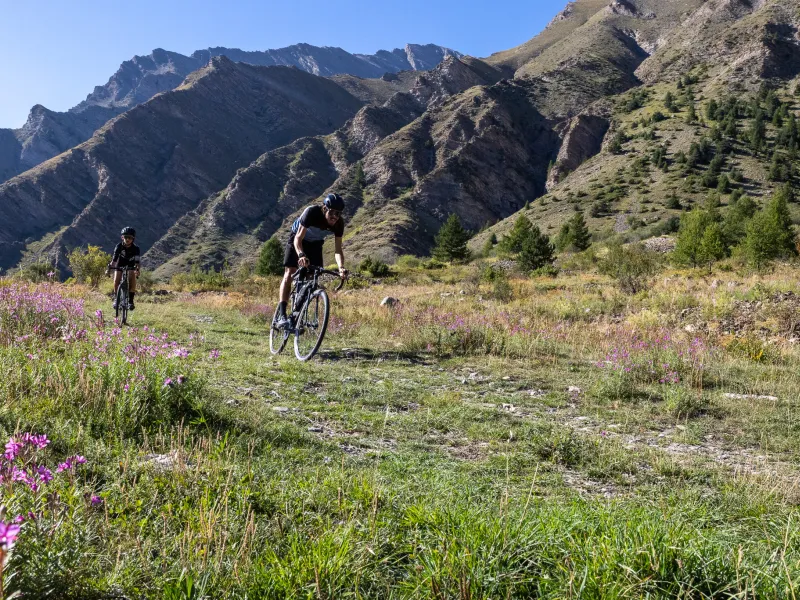
Kinaphoto 
F.AMOROS_OTGQ 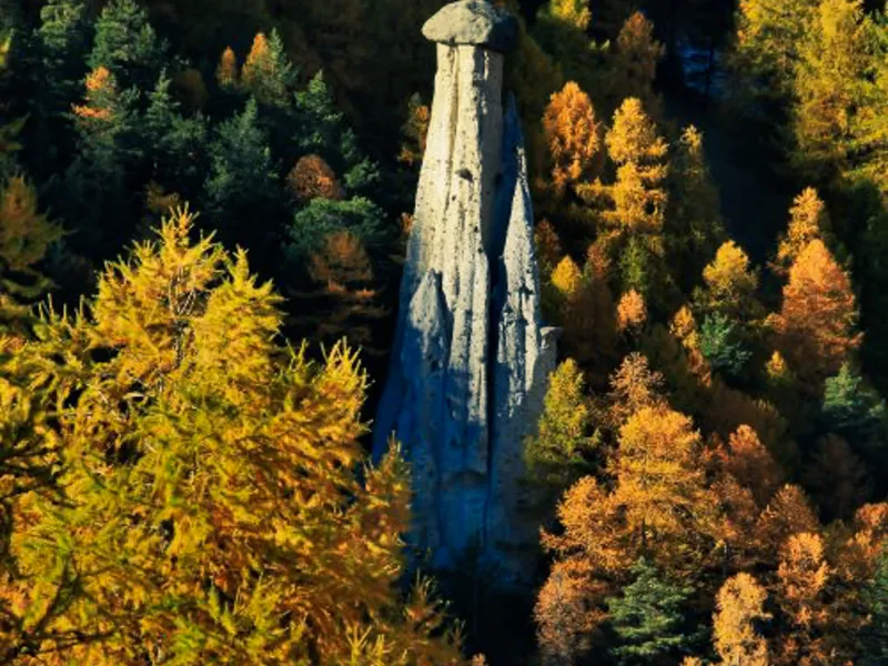
On this stage leading you into the Massif du Parpaillon Range, you first pass the village of Risoul, followed by the ski resort of Risoul 1850. Having advanced across this ski area, and having reached the Col de Valbelle (a pass at 2,374m in altitude), you then plunge straight westwards towards the renowned Bergerie, after which you descend a piste towards Saint-André-d’Embrun to get around the range. Finally, you can then climb in the direction of Crévoux, riding alongside the Torrent de Crévoux, a mountain river.
Gradients and elevation
Ascents: 1665m
Descents: 782m
Lowest point: 973m
Highest point: 2539m
Passage points
GUILLESTRE > RISOUL > > piste forestière > RISOUL 1850 > front de neige > COL DE VALBELLE > Pramouton > Les Bleincs > le Villard > Praveyral > CREVOUX.
Don't miss
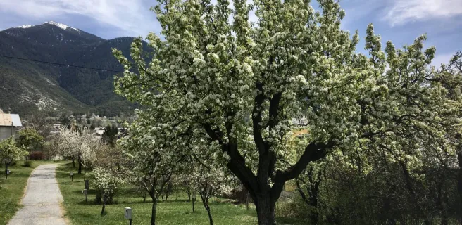
- Crévoux : Crévoux consists of four hamlets that now count just 130 inhabitants. The place has remained pickled in time, what with its typical little Alpine houses, its church belltower and its sundials. Close by, do explore the Parcours des Fées, a poetic and artistic trail, with contemporary works displayed in the midst of the mountains, along an easy hiking trail leading to the extremely beautiful Razis Waterfall.
- The Massif du Parpaillon : As you’ll be riding across this range for the next two stages, it’s time to get to know more about it! The Massif du Parpaillon marks the frontier between two départements (French counties), the Hautes-Alpes to the north, the Alpes-de-Haute-Provence to the south. It also separates the Embrunais area, with the famed Serre-Ponçon Dam and Lake, from the Ubaye Valley. A good number of summits around here hover around the 3,000m mark. The highest point is Le Grand Bérard, at 3,046m. In summer, the range is a paradise for hikers who can cross the grandiose landscapes to reach the spectacular bare summits.
- Embrun and Serre-Ponçon Lake : The pretty little city of Embrun, perched on its cliff, has given its name to Embrunman, a reputed Ironman race, or triathlon, now held here annually. The town is located above the Lac de Serre-Ponçon, a joy for those into outdoor water sports, bathing and sunbathing. With 80km of banks, there are several beaches and creeks to choose from around the lakek, while the surrounding mountains make Serre-Ponçon a magnet for those who enjoy unspoilt nature.