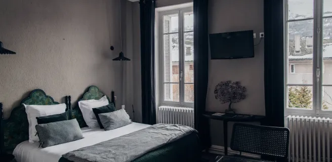
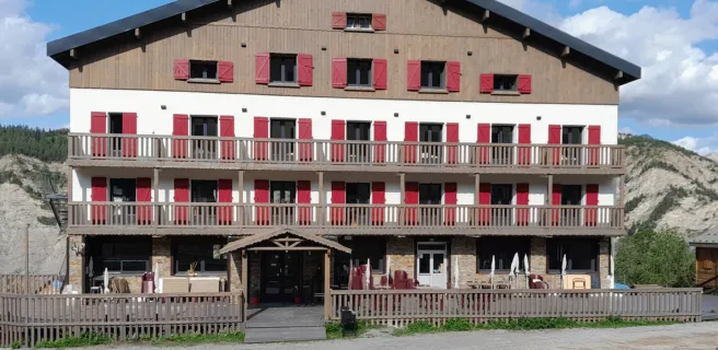
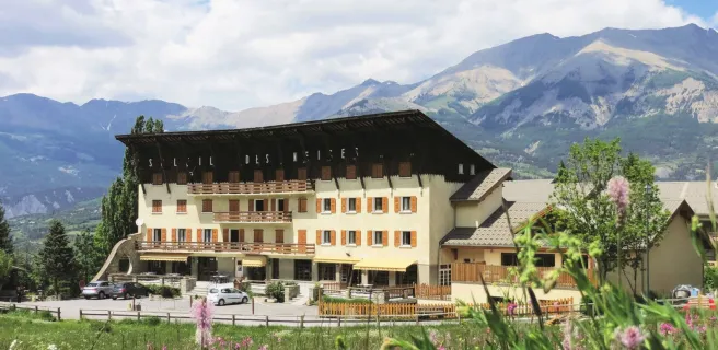
Crévoux / Barcelonnette
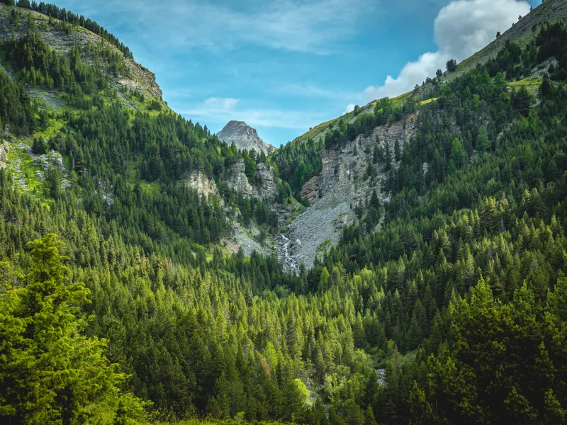
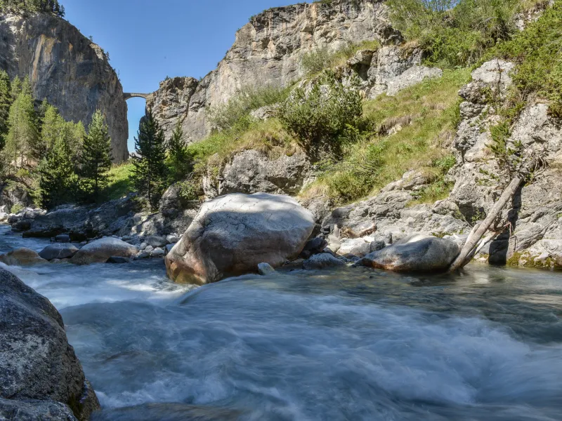
The highpoint on this magnificent stage through the heart of the Massif du Parpaillon is without doubt the stretch via the Tunnel du Parpaillon (at 2,367m in altitude), along a crest dividing the Ubaye Valley in the département (French county) of Alpes-de-Haute-Provence from the Durance Valley in the département of Hautes-Alpes. Originally created in the late 19th century by French military engineers (as with so many other high-altitude engineering works dotted along the Grande Traversée des Alpes®), the way here was never tarmacked (in contrast to the route up to the neighbouring Col de Vars). Descending the other side, the route takes you into the Ubaye Valley and along one bank of the Ubaye River at La Condamine Châtelard, before you slip over to the other bank as far as Jausiers, after which you continue to the town of Barcelonnette.
Gradients and elevation
Passage points
CREVOUX > D39t > TUNNEL DU PARPAILLON > Les Pras > CONDAMINE-CHATELARD > JAUSIERS > Briançon > Le Bourget > Faucon de Barcelonnette > BARCELONNETTE.
Don't miss
- Tunnel du Parpaillon : This 520m-long tunnel dug out of the rock at over 2,600m in altitude helps you get over the Col du Parpaillon, a pass sandwiched between the summits of Le Grand Parpaillon (2,990m) and Le Petit Parpaillon (2,881m). Dug out in the 1890s, the tunnel was renovated in 1939 by Spanish Republicans, refugees from the Spanish Civil War. At the Pont du Réal, the bridge where the tarmacked road runs out, the Cabane des Espagnols is a hut where this history is recalled. A track then leads up to the tunnel.
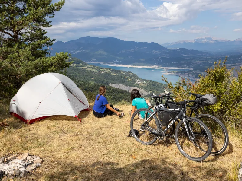
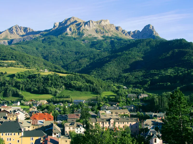
- Barcelonnette and the Ubaye : Below the ski resorts of Pra-Loup and Le Sauze, Barcelonnette is an utterly charming little old town. It has a quite unusual history, in particular as recalled by a remarkable style of colonial 19th-century architecture, reflecting flourishing trading connections with Mexico in the 19th century and creating a unique atmosphere in the Alps. However, the attractions of the Ubaye Valley extend much wider, as you’ll find exploring Jausiers, Enchastrayes, Saint-Paul-sur-Ubaye… in fact, all of the 13 villages dotted alongside the raging waters of the Ubaye River, in a valley surrounded by towering rocky mountains.
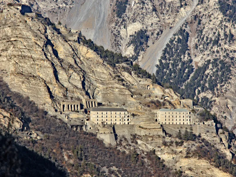
- Fort de Tournoux, an otherworldly place : A bit north of La Condamine Châtelard, the Fort de Tournoux, sometimes compared to a Tibetan Buddhist monastery, but in fact a 19th-century fort, is perched dramatically on high, looking down on the crossroads where Ubaye and Ubayette Valleys meet.