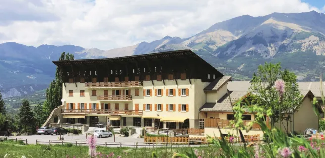
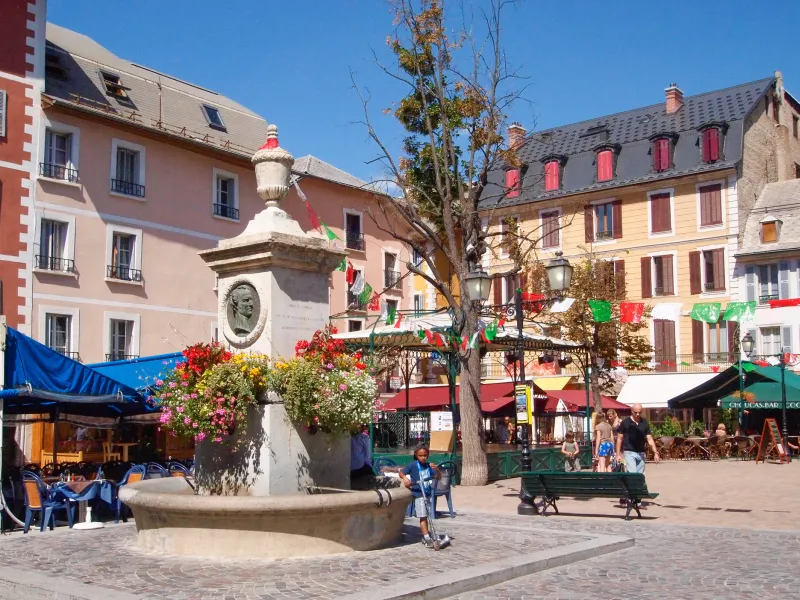
Barcelonnette / Saint-Dalmas-le-Salvage
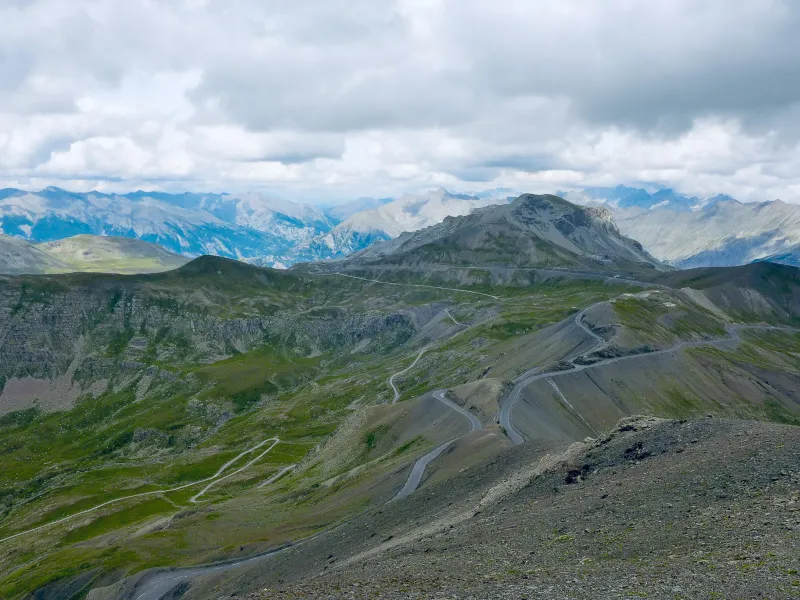

A splendid stage linking the Ubaye Valley to the Tinée Valley, with as joint potential additional highlight the Col de la Bonette, (a pass at 2,715m in altitude) along with the Cime de la Bonette (a summit at 2,802m)… You leave Barcelonnette and ride towards an exit from the Ubaye Valley by riding south and up towards the Col de la Cayolle, heading for the Bachelard Valley and Gorges. At the level of the Bayasse hotel-refuge, branch off the road towards the Col de la Cayolle to climb into the mountains to the east. A little before the Col de la Moutière (a pass at 2,454m in altitude), there’s the opportunity of a memorable additional return journey to and from the Col and Cime de la Bonette, via the “false pass”, then the real pass, of the Col de Restefond. This detour is very much worth the while. Afterwards, continue along the stage, descending on tarmac to Saint-Dalmas-le-Selvage.
Gradients and elevation
Passage points
BARCELONNETTE > Uvernet-Fours > Gorges du Bâchelard > Fours-Saint-Laurent > Refuge-Hôtel de Bayasse > montée soutenue > Faux-Col de Restefond > Col de Restefond > Col de la Bonette > CIME DE LA BONETTE > Col de la Bonette > Faux-col de Restefond > COL DE LA MOUTIERE > Refuge de Sestrière > SAINT-DALMAS-LE-SELVAGE.
Don't miss
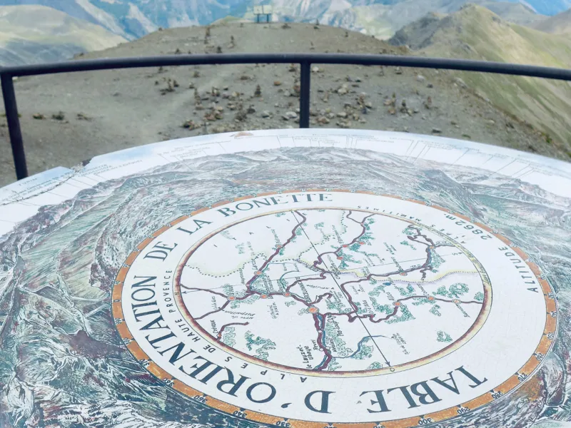
- Cime (a summit at 2,802m) and Col de la Bonette (a pass at 2,715 m) : At 2,802m in altitude, the Cime de la Bonette boasts the highest tarmacked road in France. To reach this summit, whether from the north, leaving from the village of Jausiers in the Ubaye Valley, or from the south, leaving from the village of St-Étienne-de-Tinée, be prepared for a huge challenge, involving tackling a positive shift in altitude of over 1,500m over a distance of around 25km. The Col and Cime de la Bonnet are linked by a short circular route, 2km in length, taking you through grandiose lunar landscapes. Do dismount to take the little track leading to a viewing post (table d’orientation) that offers breathtaking views over to the Monte Viso across the border in Italy.
- Col de la Moutière (a pass at 2,454m in altitude) : The road up to the Col de la Moutière is only tarmacked on the southern side, so on the descent for you. From Bayasse, the climb is really demanding for 8.5km, on a track averaging a gradient of 8%. While the riding is tough, the setting is stupendous and wild. At the top of the pass, you’ll spot a blockhaus left over from World War II, linked to Restefond’s “false pass” via a 3.5km-long track. From there, you can reach the Col and Cime de la Bonette.
- The Maginot Line : The roads around La Bonnette were well fortified, with military structures at Restefond, the Col de la Moutière, the Camp des Fourches and the Fort de Rimplas, along with its annex, the Fort de la Frassinéa… so many defences built as part of the Maginot Line, French military works that went up in the 1930s to try and counter Fascist Italian leader Mussolini.