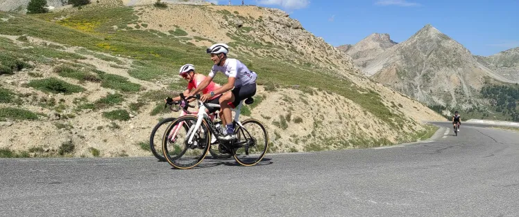
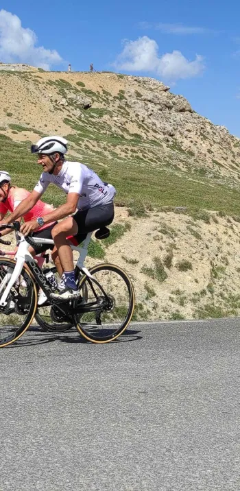
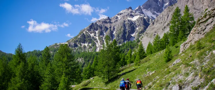
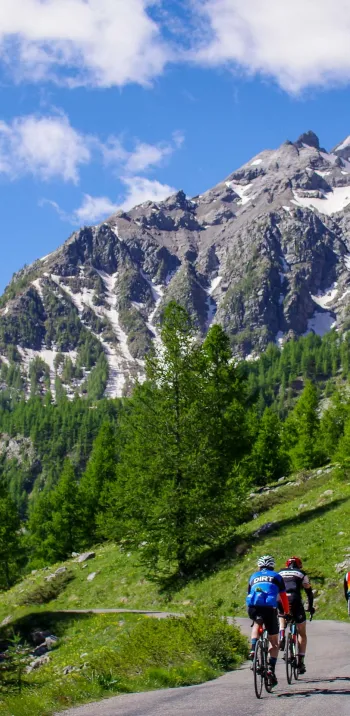
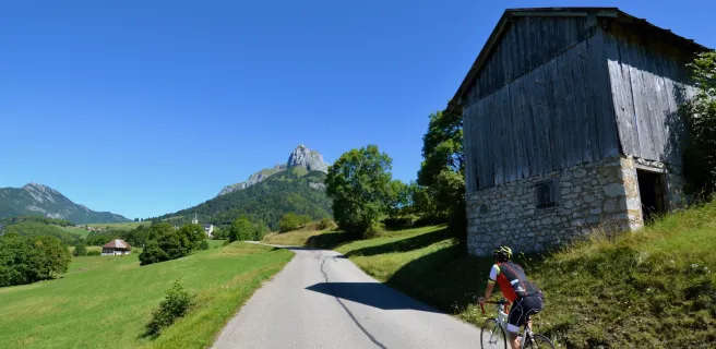
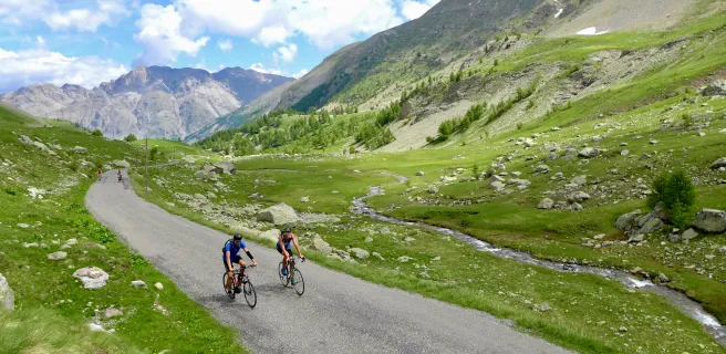
Route des Grandes Alpes à Vélo
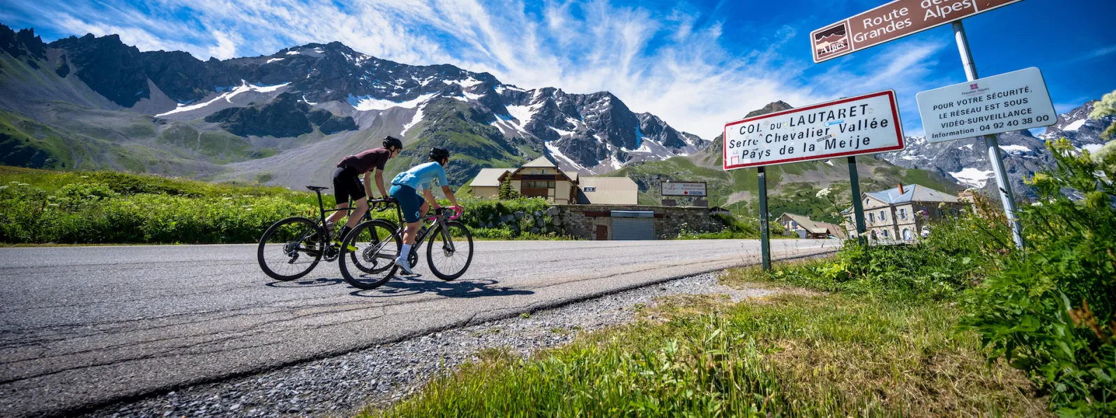
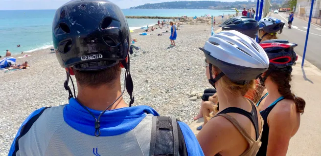
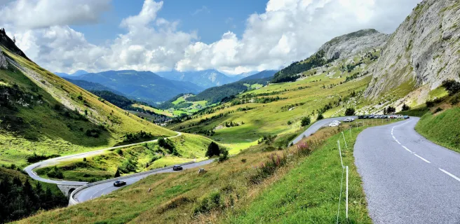
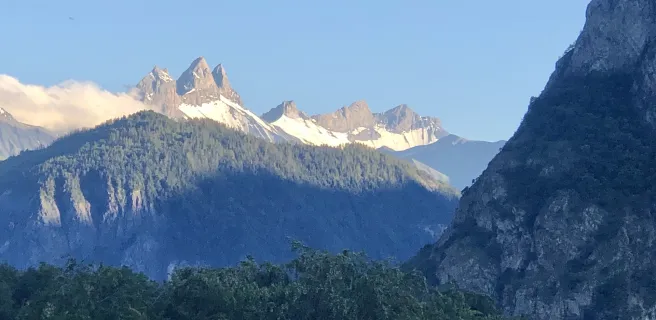
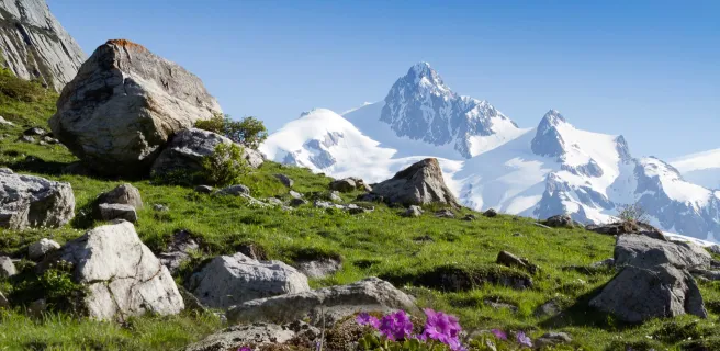
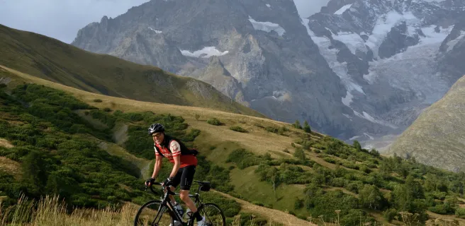
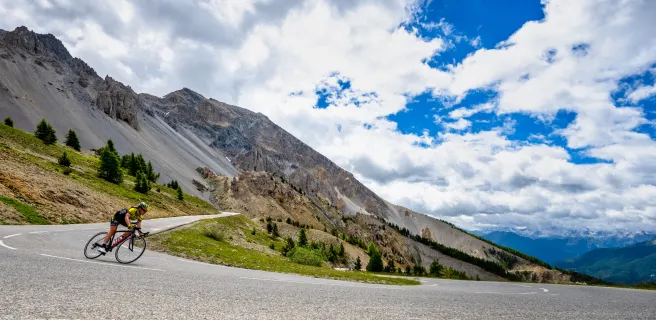
Route des Grandes Alpes® links Lake Geneva and Thonon-les-Bains (Haute-Savoie) with the Mediterranean and Nice (Alpes Maritimes). Route des Grandes Alpes® is so named because it crosses the highest road passes: Cime de la Bonette (2802 m), Iseran (2764 m), Galibier (2642 m),...
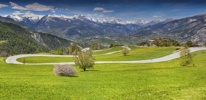
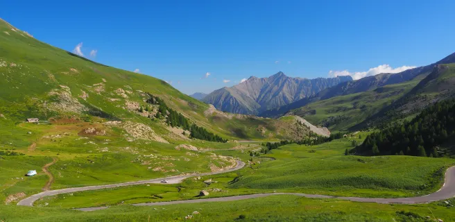
Gradients and elevation
Road types
Surface
Which way to travel Route des Grandes Alpes®?
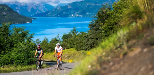
Most cyclists choose the north-south direction. But Route des Grandes Alpes® is just as interesting in the other direction. Did you know, for example, that the 18,000 m of positive ascent on the main route is more difficult in the south - north direction, because the climbs are shorter?
6 to 8 days cycling
The most direct route, 720 km for 18,000 m of positive ascent, represents 6 to 8 days of cycling. But you can also compose your own route, based on the main itinerary and its 6 variants. In all (main itinerary + variants) 26 stages, rated "Difficult" to "Very Difficult": ratings significantly mitigated by the use of an electric-assist bike.
New variants
Every year, we continue our search for interesting variants, based on criteria such as safety and interest. One example: the variant via Alpe d'Huez and the Col de Sarenne ticks all the boxes.
- You avoid the dangerous part of the national road, between Bourg d'Oisans and Lac du Chambon.
- Yours are the mythical 21 laces of the Alpe d'Huez climb.
- The Col de Sarenne and the views over the Oisans are magnificent.
You've been warned: Route des Grandes Alpes® is a challenge that will require you to lift mountains!
Easier, thanks to VAE!
To make the route accessible to as many people as possible, the entire route is dotted with VAE (electrically assisted bicycle) recharging points spread out every 30 to 40 kilometers. As a result, the group can be made up of people of different levels, some on bikes and others on VAEs. The VAE makes the ascents of the major passes accessible and allows everyone to find their balance between effort and pleasure.
Les plus beaux séjours tout-compris


Reviews for Route des Grandes Alpes à Vélo
"Accueil Vélo" accommodation on Route des Grandes Alpes à Vélo
193 Accueil Vélo accommodations await you on Route des Grandes Alpes à Vélo!
View accommodations on the map
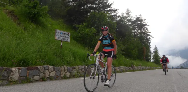
The 27 stages of Route des Grandes Alpes à Vélo
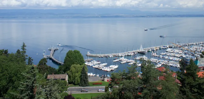
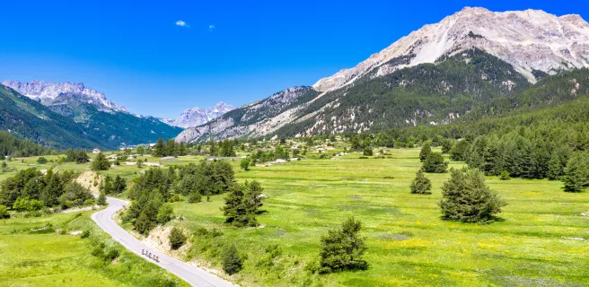
1 Thonon-les-Bains / Morzine-Avoriaz

2 Morzine-Avoriaz / Cluses
3 Cluses / Le Grand-Bornand
4 Le Grand-Bornand / Beaufort-sur-Doron
NB: Saint-Jean-de-Sixt, a village equidistant between Le Grand-Bornand and La Clusaz, is the starting point for an alternative section, involving two stages, taking you via Annecy Lake.
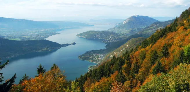
5 Alternative section Le Grand-Bornand / Lescheraines
6 Variante Lescheraines / Beaufort-sur-Doron
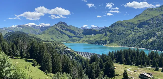
7 Beaufort-sur-Doron / Bourg-Saint-Maurice
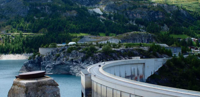
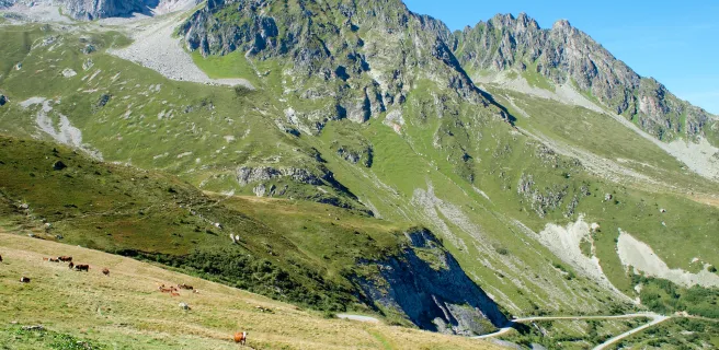
8 Bourg-Saint-Maurice / Val d'Isère
9 Alternative stage Bourg-Saint-Maurice / Saint-François-Longchamp
10 Alternative stage Saint-François-Longchamp / Valloire
11 Val d'Isère / Val-Cenis
12 Val Cenis / Valloire
13 Alternative section Val-Cenis / Oulx
14 Variante Oulx / Briançon
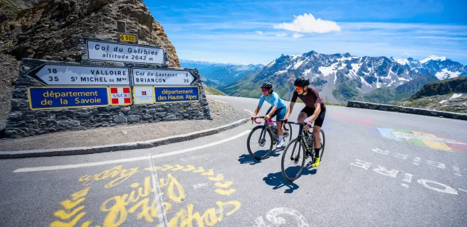
15 Valloire / Briançon
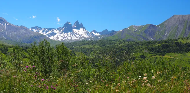
16 Alternative stage Val-Cenis / Saint-Jean-d'Arves
17 Alternative stage Saint-Jean-d'Arves / L'Alpe d'Huez
18 Variante L'Alpe d'Huez / Briançon
19 Briançon / Guillestre
20 Guillestre / Barcelonnette
21 Alternative stage Guillestre / Barcelonnette
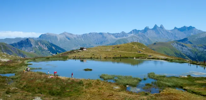
22 Barcelonnette / Valberg
23 Alternative stage Barcelonnette / Saint-Etienne-de-Tinée
24 Alternative stage Saint-Etienne-de-Tinée / Saint-Martin Vésubie
25 Valberg / Saint-Martin Vésubie
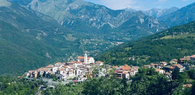
26 Saint-Martin Vésubie / Sospel