Valberg / Saint-Martin Vésubie Route des Grandes Alpes à Vélo
59,20 km cycling route from Valberg to Saint-Martin Vésubie
Elevation of the stage
Waytypes of the stage
Surface of the stage
From Valberg to St-Martin-Vésubie via the Col de la Couillole
Route North / South
↗ 1585m ↘ 2288m
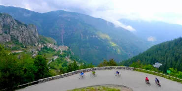
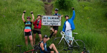
From Valberg, it’s only just 15km to reach the Col de la Couillole pass (1678m), going first via the small Col de Sainte Anne pass (1550m) and the village of Beuil. Then head for Saint-Sauveur-sur-Tinée and a few kilometres later, with only a smallish shift in altitude, you reach the Col de la Couillole pass (1678m). Next, descend to Roubion, then Roure, to reach Saint-Sauveur-sur-Tinée. Barely 5km further on, on the Nice road, turn left in the direction of Saint-Martin-Vésubie, via the Col Saint-Martin pass (1503m), beside which stands the little mountain resort of La Colmiane. Along this route, you cross the beautiful villages of La Bolline and Saint-Dalmas. Following the damage caused by the terrible storms of autumn 2020, check before heading out that this route is open to cyclists.
Route South / North
↗ 2288m ↘ 1585m
From Saint-Martin-Vésubie, you can climb fairly rapidly to the small mountain resort of La Colmiane, set around the Col Saint-Martin pass (1503m). Then cross the beautiful villages of Saint-Dalmas and La Bolline before reaching the Tinée’s valley bottom. From Saint-Sauveur-sur-Tinée, you begin the climb to the Col de la Couillole pass (1678m); with 1170m of slopes to deal with across 15km, you could pause at Roubion. From the pass, it’s a reasonably easy ride to Valberg via the small Col de Sainte Anne pass (1550m) and the village of Beuil. Following the damage caused by the terrible storms of autumn 2020, check before heading out that this route is open to cyclists.
Don’t miss
- Valberg: a mountain resort on the edge of the Mercantour National Park offering many activities as well as glimpses of the Mediterranean. That’s quite a mix!
- Mercantour National Park: one of 11 French national parks and one of the most unspoilt – since 1992, wolves have crossed from Italy and settled in these parts. The park straddles the French counties of Alpes-Maritimes and Alpes-de-Haute-Provence and presents a very wide variety of landscapes, including Alpine mountains and Mediterranean touches.
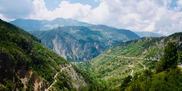
- Le Cians and Daluis Gorges: nicknamed Nice’s Colorado because of their red rocks. These two impressive canyons hold the Cians and Haut-Var Rivers, whose sources spring up in the Mercantour.
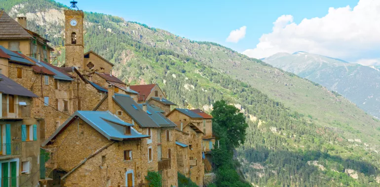
- The Tinée Valley: between the Mercantour and the Mediterranean, the Tinée River has cut a path through steep cliffs topped by forests and mountain pastures. Some very picturesque villages have found a foothold in these wild natural surrounds.
- The Vésubie Valley: a natural gem, with a rich cultural heritage, set on the edge of Mercantour National Park and close to the Vallée des Merveilles, famed for its prehistoric rock engravings.
- Vesubia Mountain Parc: an indoor temple for mountain activities at Saint-Martin-Vésubie! Here, you can swim, climb, jump, tackle a high walk, descend a canyon, test your balance and go wandering underground.
Travellers’ reviews