Alternative stage Val-Cenis / Saint-Jean-d'Arves Route des Grandes Alpes à Vélo
74,86 km cycling route from Val-Cenis to Saint-Jean-d'Arves
Elevation of the stage
Waytypes of the stage
Surface of the stage
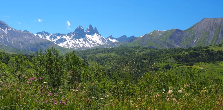
From Val-Cenis to Saint-Jean-d'Arves and from the Upper Maurienne to the Arvan Valley
Route North / South
↗ 1152m ↘ 1131m
A gentle descent of some 20km leads from Val-Cenis to Modane. The classic route allows you to enjoy dramatic views of the Barrière de l’Esseillon fortifications. The second, less spectacular but quieter option goes via Aussois. At Modane, the two ways join up as you continue your descent to Saint-Michel-de-Maurienne, at the foot of the Col du Télégraphe pass. Leaving on your left the classic way following the Route des Grandes Alpes®, leading to Valloire-Galibier, carry on towards Saint-Jean-de-Maurienne (a crossroads for another alternative stage, coming from the Tarentaise Valley via the Col de la Madeleine pass). After Saint-Jean-de-Maurienne, you have under 20km to ride to reach Saint-Jean-d’Arves, but with a 900m shift in altitude.
Route South / North
↗ 1131m ↘ 1152m
From Saint-Jean-d’Arves, enjoy some 900m of descent in altitude as you ride a bit under 20km to reach Saint-Jean-de-Maurienne (a crossroads for another alternative stage, leading to the Tarentaise Valley via the Col de la Madeleine pass). Next, follow the route along the bottom of the valley to Saint-Michel-de-Maurienne, at the foot of the Col du Télégraphe pass. Ignoring, to your right, the classic way along the Route des Grandes Alpes® leading to Valloire-Galibier, climb in the direction of Modane. From there, you have some 20km more to reach Val-Cenis. The classic route allows you to appreciate the views of the Barrière de l’Esseillon’s fortifications. The second, slightly less spectacular, but also less busy option takes you via Aussois.
Don’t miss
- Haute-Maurienne Vanoise: this area, on the edge of the Vanoise National Park, includes six resorts: Aussois, Bessans, Bonneval-sur-Arc, La Norma, Val Cenis and Valfréjus, plus the little town of Modane. All told, it offers a concentrated selection of what such mountain areas can offer by way of things to see and do!
- The Barrière de l’Esseillon: consisting of five stepped forts, located in the parishes of Aussois and Avrieux, built on rocky promontories, constructed to protect the Kingdom of Piedmont-Sardinia from French invasion after the Napoleonic period.
- The Maurienne Valley: boasts of being the largest mountain cycling area in the world.
- Les Sybelles: for six beautiful mountain resorts making up an interconnected ski area: Saint-Jean-d’Arves and Saint-Sorlin-d’Arves, along with La Toussuire, Le Corbier, Les Bottières and Saint-Colomban-les-Villards.
Travellers’ reviews