Col du Pré
A beautiful variant for Cormet de Roselend
Altitude 1703
Massif du Beaufortain
Département Savoie
Summary
- Plan your bike ascent of Col du Pré
- Bike up Col du Pré from Beaufort-sur-Doron
- Description of bike ascent of Col du Pré from Beaufort-sur-Doron
- Col du Pré ascent by bike from Col de Méraillet
- Description of Col du Pré ascent by bike from Col de Méraillet
- Conseils pour préparer l'ascension du col du Pré
- Weather conditions for the col du Pré
- Recommended equipment recommended for the Col du Pré
- Services at the Col du Pré
- Access to the Col du Pré
- Témoignages
- FAQ
Plan your bike ascent of the Col du Pré
On its Doron valley side (from Beaufort), this pass on Route des Grandes Alpes ® represents a challenging climb of around twelve kilometers. It provides access to the Roselend dam and is an exceptional variant on the climb to the Cormet de Roselend. There's little to say, on the other hand, about the very short Col de Méraillet slope, except that it offers magnificent panoramas and features a spectacular passage over the dam.
Bicycling up the Col du Pré from Beaufort-sur-Doron
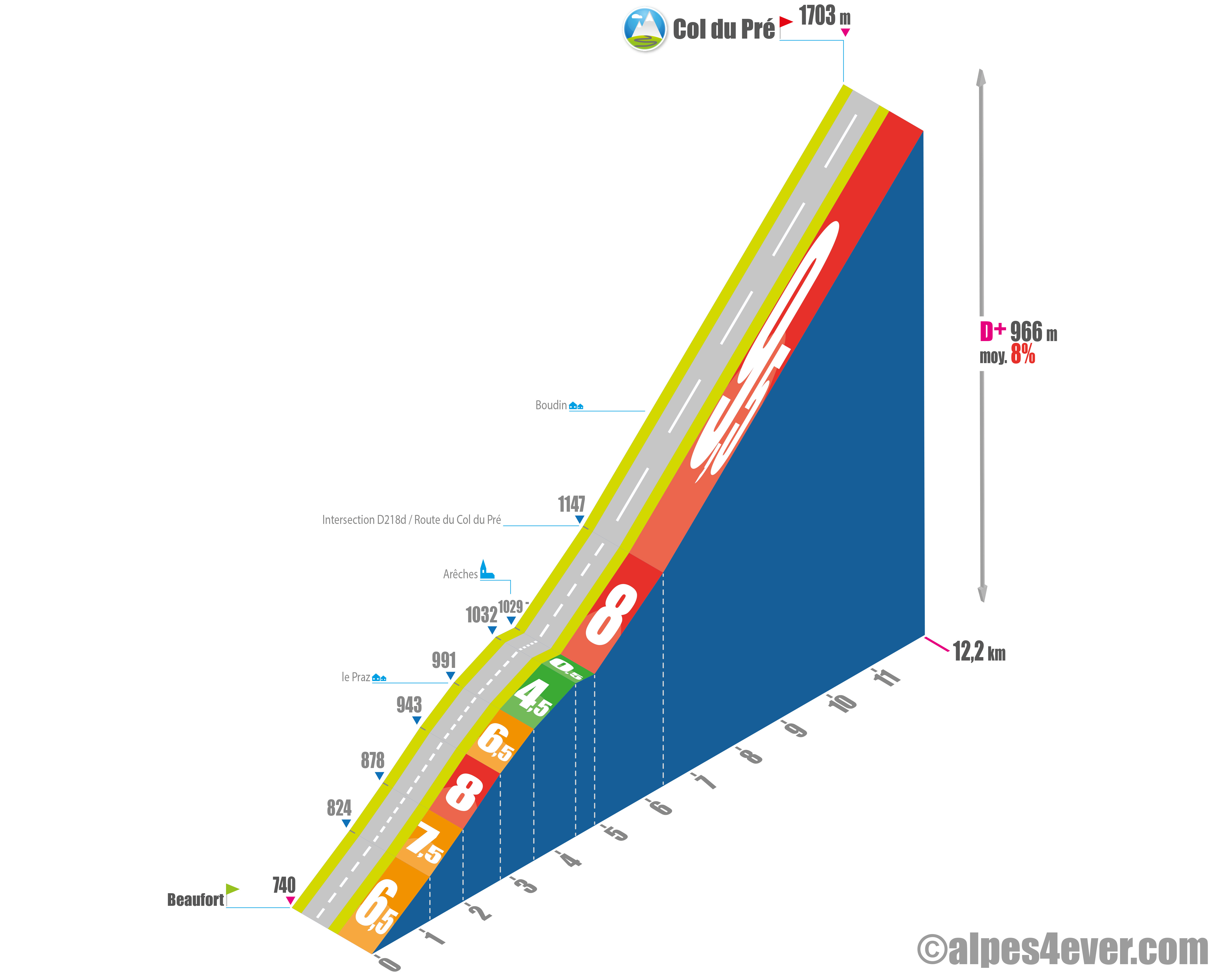
Start: Beaufort-sur-Doron (738 m)
Distance: 12.2 km
Altitude: 1703 m
Height difference: 966 m
Average gradient: 8%
Maximum gradient: 9.5%
Tour de France® rating: hors catégorie
Col du Pré ascent time (rounded) by bike from Beaufort-sur-Doron
- At 7 km/h : 1 h 45
- At 11 km/h : 1 h 05
- At 15 km/h: 50'
- At 19 km/h: 40'
Map of the Col du Pré climb by bike from Beaufort-sur-Doron
Description of the ascent of the Col du Pré by bike from Beaufort-sur-Doron
With its 1703 meters of altitude, this unusual pass is not the highest, but it is one of the hardest. Especially when used as a stepping stone to the ascent of the Cormet de Roselend (1968 m). Indeed, once its summit has been crossed, a brief descent, after crossing the Roselend dam, leads to the Col de Méraillet, on the normal Cormet route.
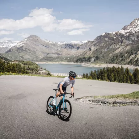
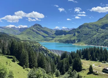
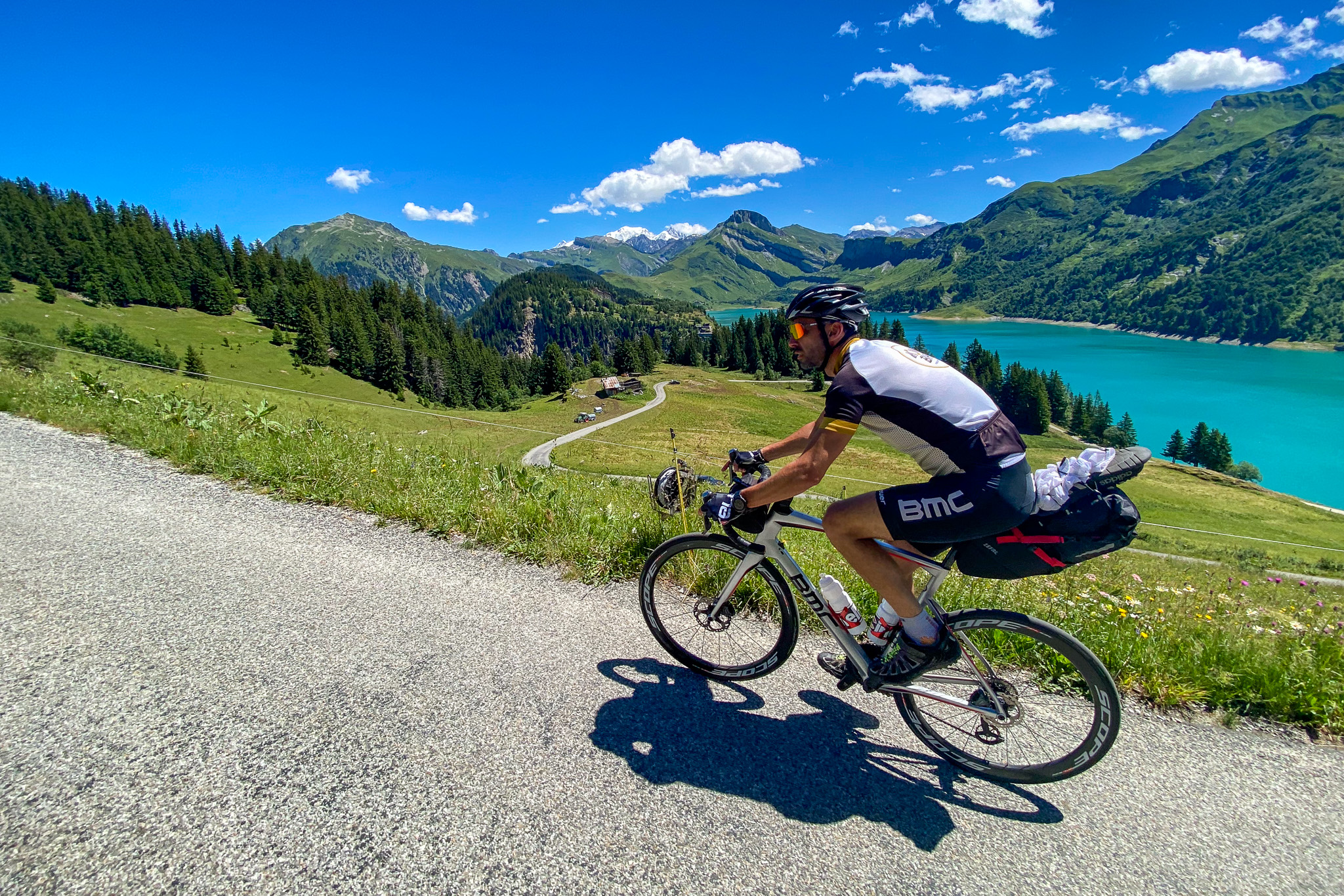
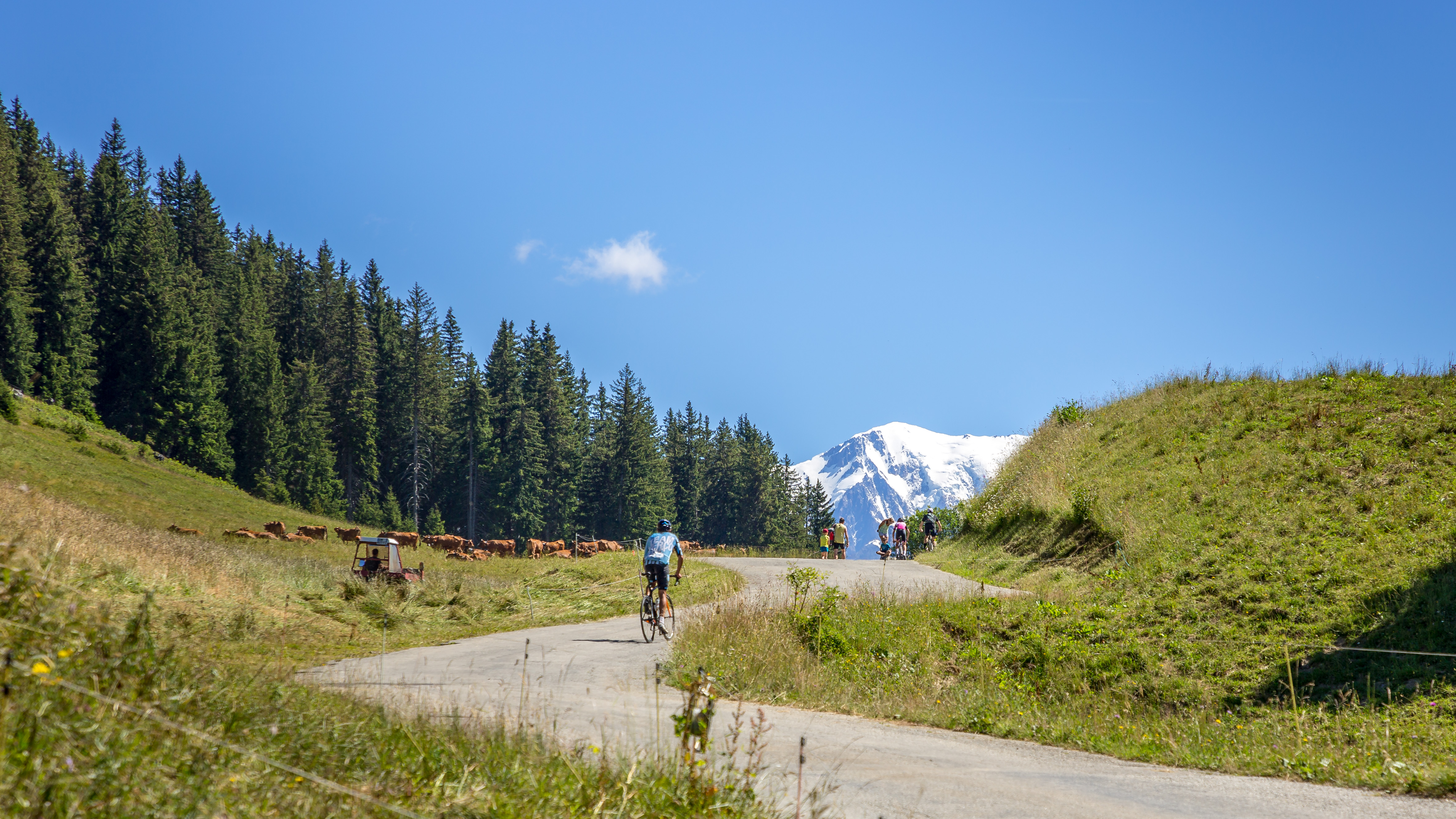
Scenically, the Col du Pré, a large screen on Mont-Blanc, offers a succession of breathtaking panoramas. Not forgetting the plunging view of Lac de Roselend.
From the center of Beaufort-sur-Doron, the start of the ascent, you reach the Arêches-Beaufort exit via the D218. About 5 km, not easy, with sections between 6.5 and 8%. From Le Praz onwards, the going gets gentler, and you'll arrive in Arêches on the descent.
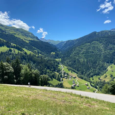
Catch your breath, as no fewer than 15 twists and turns await you after that. The road is narrow and you gradually climb from 8 to 9.5% for over seven kilometers. It really stings! The crossing of Boudin, a charming and authentic hamlet of large wooden chalets clinging to the flower-filled slope, will help you bear the effort.
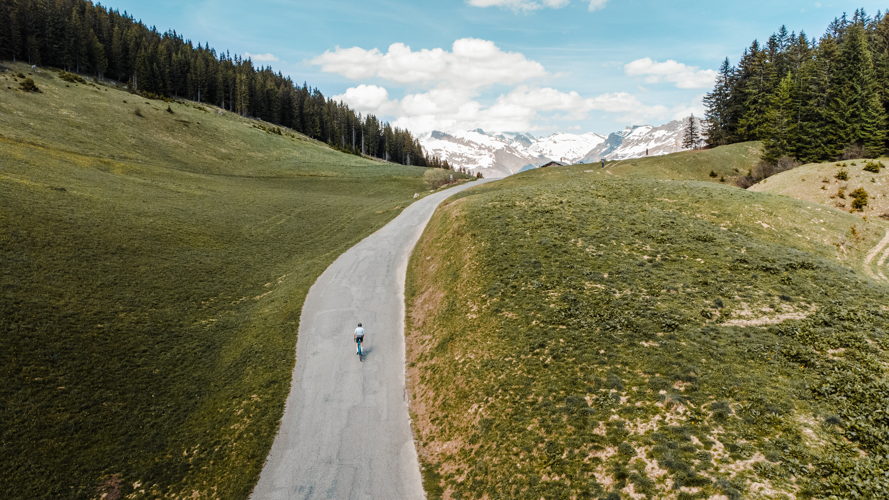
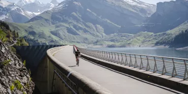
Once you've reached the col, it's not quite over, as you'll then have 4.5 kilometers to go to the Col de Méraillet. This section is not very difficult, except for: a 270 m ramp at 8% + a 200 m climb at 8% after passing the Roselend dam, and finally a brutal 175 m at 12%, just before the Méraillet. There's nothing to stop you enjoying the sublime views over Lac de Roselend and the spectacular crossing of the dam (775 m).
Arrived at the Col de Méraillet, if you're on the Route des Grandes Alpes®, you'll take the start of the final ascent of the Col de Roselend. And if that's not in your plans, you'll head back down to Beaufort-sur-Doron to complete a short circuit that's as athletic as it is magnificent.
Cycling up Col du Pré from Col de Méraillet
Start: Col de Méraillet (1605 m)
Distance: 5.2 km
Altitude: 1703 m
Height difference: 177 m
Average gradient: 5%
Maximum gradient: 11%
Tour de France® rating: hors catégorie
Time to climb Col du Pré by bike from Col de Méraillet
- At 7 km/h: 45'
- At 11 km/h: 30'
- At 15 km/h: 20'
- At 19 km/h: 15'
Map of the route up the Col du Pré by bike from the Col de Méraillet
Description of the ascent of the Col du Pré by bike from the Col de Méraillet
We're not going to lie, it's more of a hump than a pass! From the Col de Méraillet, you're just 5.2 km from the Col du Pré.
You start with a descent and a crossing of the Roselend dam. This is followed by two difficult kilometers: five hairpins between 7 and 11% up to the parking lot for the official Col du Pré (1735 m) ascent. A quick descent to the Col du Pré and you're done!
What characterizes this side of the Col du Pré is the beauty of the scenery. Fantastic aerial views over the green and blue of Lac de Roselend, snow-capped peaks in the distance, beautiful Tarine and Abondance cows in verdant alpine pastures...
Conseils pour préparer l'ascension du col du Pré
If there's only one piece of advice to give, it's to arrive in good shape. It's an athletic climb, especially as it's often just a beefy prelude to the ascent of Le Cormet de Roselend. And even if the five kilometers between the Cols du Pré and Méraillet are conducive to recovery, the whole thing constitutes one of the most beautiful climbs in the Alps.
Our advice:
- Ride steadily without jerking and without trying to pull your weight. 15 laces is not Alpe-d'Huez, but it's not bad.
- Col du Pré + Cormet de Roselend: beware of hunger and dehydration. Take what you need. Eat, drink, eat, drink! And beware of the heat and cold, due to the altitude but also to the fairly long intermediate section, with downhill sections between the Col du Pré and the end of Lac de Roselend.
- You're looking for a specialized travel agency to take you on the Route des Grandes Alpes® and the major Alpine passes. Vélorizons, LaRébenne and Belle Allure are waiting for you. All three offer the services you need: luggage transfer, choice of accommodation, guidance and bike rentals if you wish... Discover which specialist to go with on Route des Grandes Alpes®
Weather conditions for the Col du Pré
The Col du Pré closes when the snow arrives and opens after it leaves. Don't hesitate to call the Arêches-Beaufort tourist office for the right information at the right time: 04 79 38 15 33.
To check the opening and practicability of the Col de Méraillet and the Cormet de Roselend, consult savoie-route.fr (check "État des cols" under "Données cartographiques").
To check weather conditions at the top of the Col du Pré consult meteoblue
To find out when to go on Route des Grandes Alpes ®
Recommended equipment for the Col du Pré
Find all our information about equipment, accessories, outfits: here's our equipment section
For EAB cyclists, it's here
Services near Col du Pré
In Beaufort-sur-Doron, Arêches-sur-Beaufort and Bourg-Saint-Maurice, you'll find everything you could possibly need: accommodation, catering, supplies, bike repair and hire...
You can make a welcome stopover at the Chalet de Roselend hotel-restaurant on Col de Méraillet.
Access to Col du Pré
SNCF and bus stations
- Albertville
- Bourg-Saint-Maurice
- Beaufort-sur-Doron
Road access
- D925 from Albertville (A43).
- D212 from Ugine and the Arve valley (A40).
- D218A from Beaufort-sur-Doron
- D902 from Bourg-Saint-Maurice (N90).
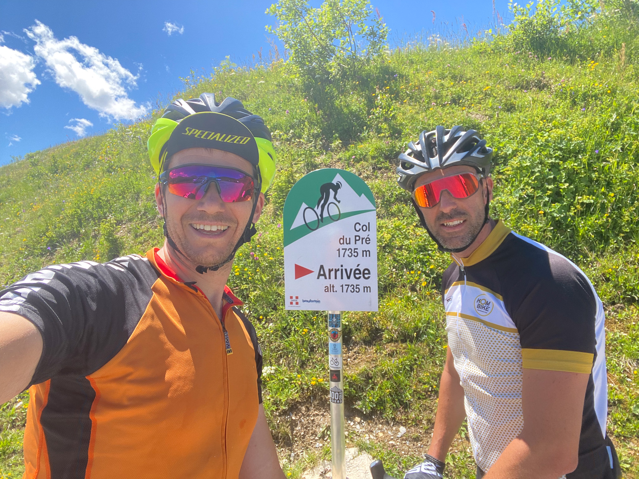
Those who have done it say it best!
I highly recommend the variant from Cormet de Roselend via the Col du Pré. The views are much clearer than on the main route, and you really get a real eyeful.
Jean-François, Albertville
The 7 km after Arêches are very difficult, I find. You thread the laces like pearls, but it's so beautiful!
Maxime, Bruxelles
Among my favorite passes, the Cormet de Roselend for its sublime lake.
Romain
With a (well-charged) VAE, it's nothing but bliss! The big show with a reasonable effort. Then the dam, the lake and finally the passage to Cormet de Roselend. I felt a real sense of fulfillment when I got there. Like after a yoga session, it makes you want to congratulate yourself.
Léna, Aix-en-Provence
FAQ
Has the Tour de France ever passed the Col du Pré?
Three times. In 2018: Warren Barguil took the lead. In 2021: Nairo Quintana, another very strong climber. In 2025 (Albertville - La Plagne stage).
How big is the Roselend dam to which the Col du Pré gives access?
At 149 m high and 804 m long, it is considered one of the most beautiful Alpine dams. Impounded in 1962, it has covered mountain pastures and the hamlet of Roselend, with the exception of the chapel of Ste Marie Madeleine: one of the most famous postcards on the Route des Grandes Alpes®
In which massif is the Col du Pré located?
In the Beaufortain massif, the setting for one of the most authentic Alpine territories, famous for its delicious cheese: Beaufort.
Other passes near Col du PréCormet de Roselend | The most beautiful passes of Route des Grandes Alpes ® |
