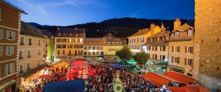
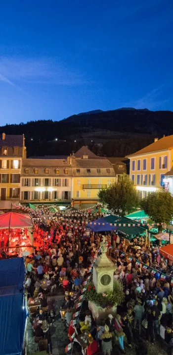
So beautiful, so quiet
Altitude 2326 m
Massifs of Pelat and Mercantour-Argentera
Département Alpes-de-Haute-Provence
Topo North side
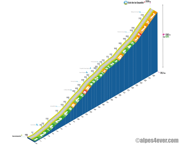
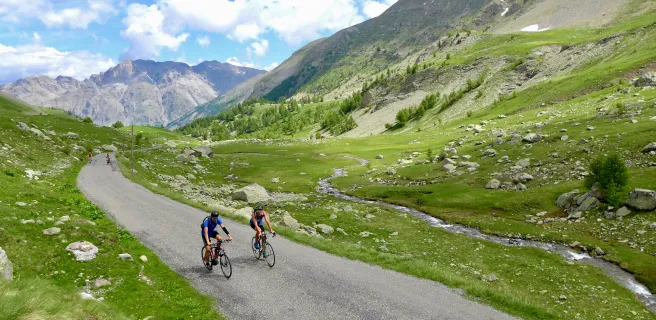
The last "2000" on the Route des Grandes Alpes itinerary, the longest - almost 30 km - but the easiest, with only the last 5500 meters requiring a little effort. Just to clarify: this is one of the most beautiful passes in the Alps! In a magnificent wilderness setting, you'll be left in peace, as tourists prefer to take the 2802 m Cime de la Bonette or the Col d'Allos, possible variants of this Route des Grandes Alpes. At the summit at 2326 m, you'll find a sublime mineral backdrop, and your gaze will try to make out the Mediterranean Sea to the south... Watch out for the vertiginous descent, so take a break or two on the first few hairpin bends to enjoy the sublime views over the Var Valley.
Topo South side
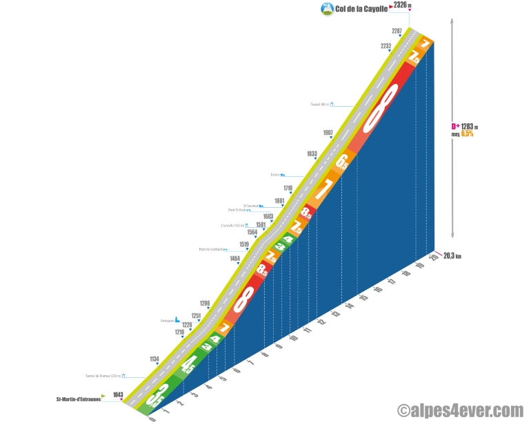
Starting from St-Martin-d'Entraunes (alt. 1043 m), it's a long ascent that awaits you with 20.3 km and much more difficult than the North side with 1283 m of positive ascent at 6.5% average. Heading up the Var Valley (where it rises at
Estenc), you'll be treated to sublime scenery in the heart of the Mercantour National Park.
Under the gaze of the Pointe de la Figulière (alt. 1644 m), you can warm up leisurely all the way to Entraunes with 5.5 km at 4% average. You'll occasionally cross the Rochers de Bramus under the Tunnel de Bramus (230 m with average lighting, but sufficient
for bike passage), which mark a clear narrowing of the Var Valley.
At Entraunes, you switch to the right bank of the Var and hostilities begin in earnest: 4 km at 8% via the Pont de Garibaldi.
Half the climb is behind you. Take advantage of a 1.1-km, 3/4% flat spot - and there won't be another one until the summit - to get back on your feet. The vegetation is becoming sparser, so beware of overheating in bright sunshine. You will also
a new tunnel dug into the rock (it's openwork, no need for lighting) and a new bridge, the St-Roch bridge.
The slope steepens again as you approach the hamlet of St-Sauveur Chapelle, and won't let go until you reach the pass: 7.5% average for the next 9.7 kilometers. The climb will be magnificent, with a passage through Estenc and its pretty lake, a dozen or so switchbacks
offering spectacular views over the mountain range. with spectacular views over the valley to the south, including Roche Grande (alt. 2752 m), Tête de Gorgias (alt. 2621 m) and Pointe Côte de l'Âne (alt. 2916 m). At PK16.5, there's a small tunnel cut into the rock at an angle, and it's quite dark. You'll need to make a good effort to reach the Col de la Cayolle at 2326 m.
The map
The map
22 Barcelonnette / Valberg
Author
Joris Lesueur
webmaster of alpes4ever.com
contact@alpes4ever.com