Alternative stage Saint-François-Longchamp / Valloire
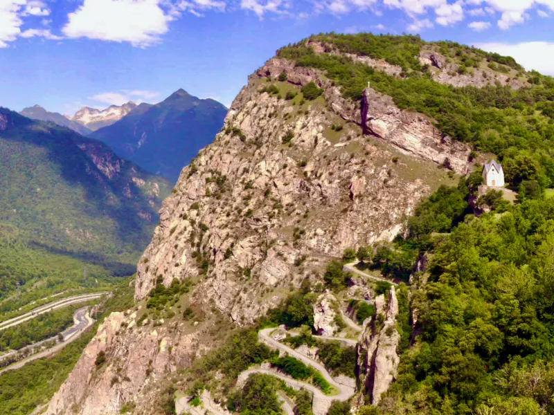
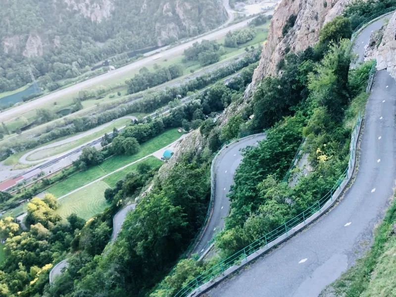
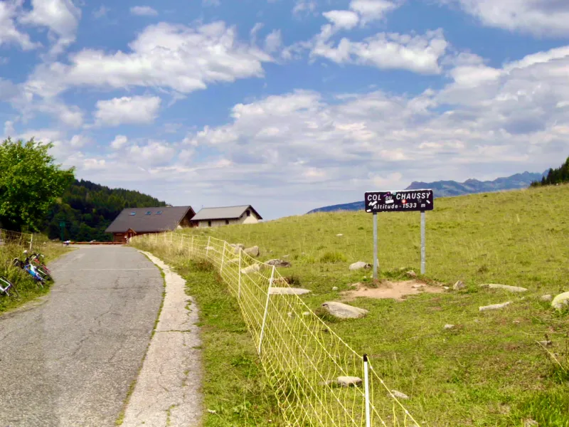
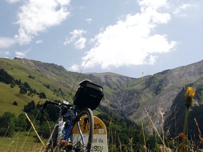
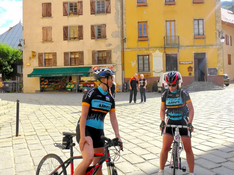
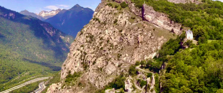
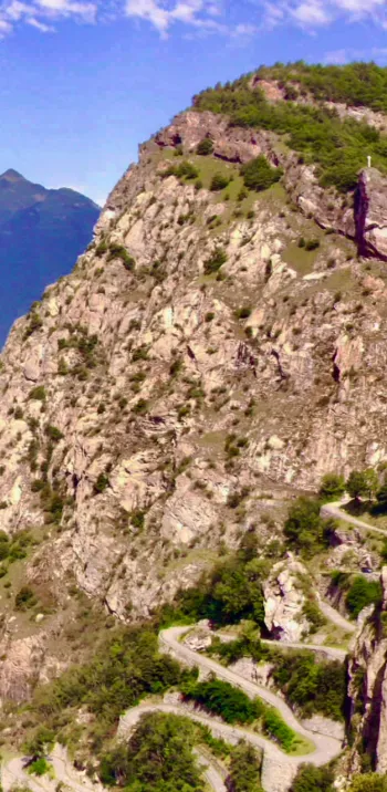
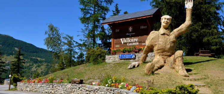
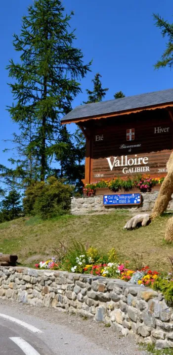
This beautiful stage links two Maurienne resorts. It involves tackling the 18 hairpin bends up to Montvernier, along the way to the Col du Chaussy pass (1533m), nowadays considered almost as iconic as those of L’Alpe d’Huez and the Col du Télégraphe pass. At the beginning or end of the stage, depending on the direction in which you’re tackling the route, enjoy a large mountain resort that’s also a very pretty extended village – the aptly named Valloire-Galibier!
Gradients and elevation
Road types
Surface
From Saint-François-Longchamp to Valloire via the Col de Chaussy and Montvernier’s hairpin bends
Route North / South
↗ 1939m ↘ 2087m
From Saint-François-Longchamp 1650, continue your descent from the Col de la Madeleine pass and, before Saint-Martin-sur-la-Chambre, but after the hamlet of Montoudras, turn left to climb to the Col du Chaussy (1533m). Having descended via Montvernier’s famed 18 hairpin bends, you reach Pontamafrey. Just under another 20km remain, riding via Saint-Jean-de-Maurienne and the roads along the valley bottom for Saint-Michel-de-Maurienne, to the first slopes leading to the Col du Télégraphe pass (1566m, involving a 851m shift in altitude). Twelve km further up, you reach the summit, then follow 5km of descent, leading to Valloire.
lloire.
Route South / North
↗ 2087m ↘ 1939m
From Valloire, 5km of climbing, at a gradient of 3.5%, take you to the summit of the Col du Télégraphe pass (1566m). Then descending 851m over 12km, you reach Saint-Michel-de-Maurienne. Next, follow the valley bottom, going via Saint-Jean-de-Maurienne to Pontamafrey, where you set off on your ascent of the famed 18 hairpin bends to Montvernier, on the road to the Col du Chaussy pass (1533m). After that, you descend to Saint-Martin-sur-la-Chambre. After Montaimont, turn right for the road up towards the resort of Saint-François-Longchamp and the Col de la Madeleine pass (1993m), taking you up to Saint-François-Longchamp 1650.
Don’t miss
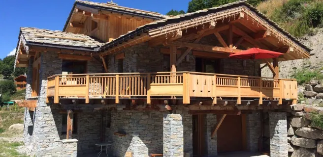
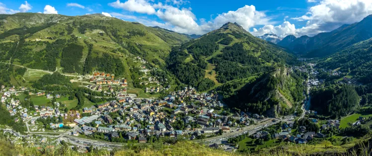
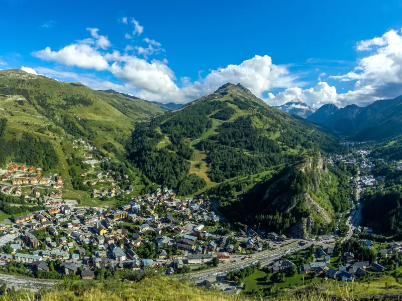
- Valloire-Galibier: a big mountain resort in the Maurienne and a very beautiful, extended high-altitude village, made up of 17 hamlets spread out along the road to the Col du Galibier, gateway to the southern French Alps.
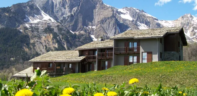
- The Maurienne Valley: it boasts of being the largest mountain cycling area in the world.
- The Fort du Télégraphe: built between 1885 and 1893, on the site of a former Chappe aerial telegraph relay station on the imperial Paris-Milan line. It’s just a ten minute walk from the car park at the Col du Télégraphe pass and offers unbeatable views down the great valley.