P'tites Routes du Soleil
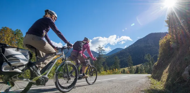
P'tites Routes du Soleil®: a gentle alternative to Route des Grandes Alpes®? If you think so, you're on the wrong track! Just over 900 km and more than 17,000 m of ascent - that's no mean feat! However, none of the 25 significant passes exceeds 1400 m, and you can divide the route into 21 stages. What's more, if you opt for electric assistance, the route becomes truly accessible.
Gradients and elevation
Road types
Surface
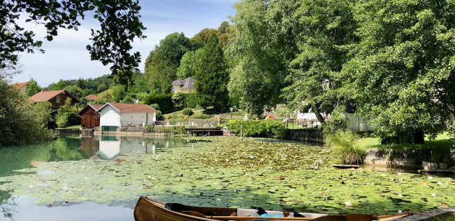
La route des Préalpes
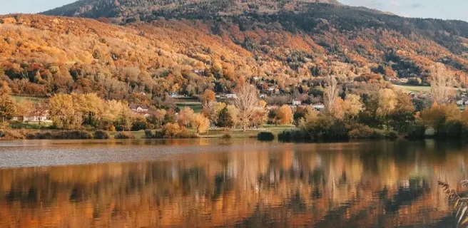
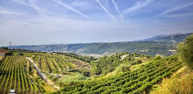
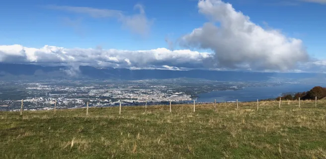
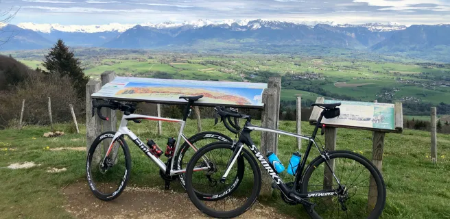
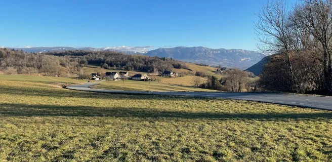
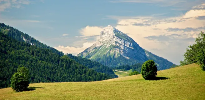
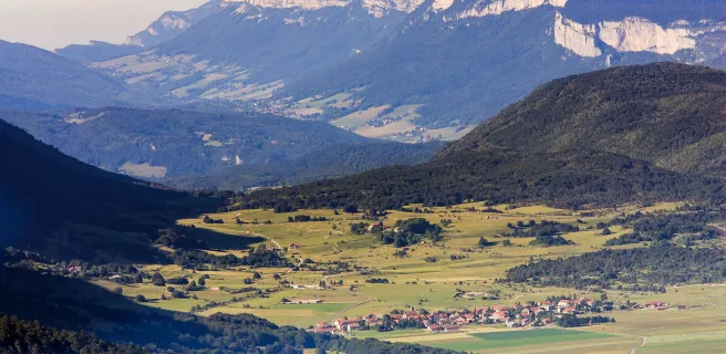
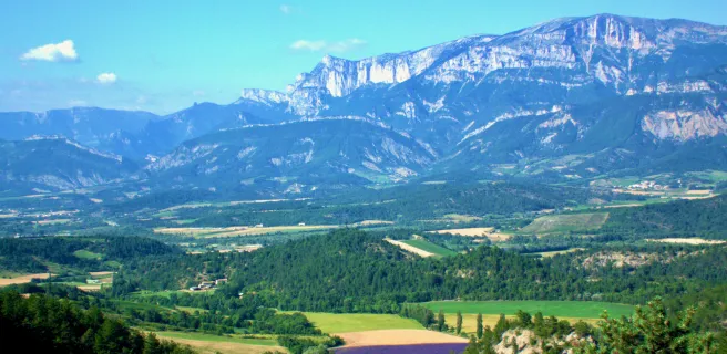
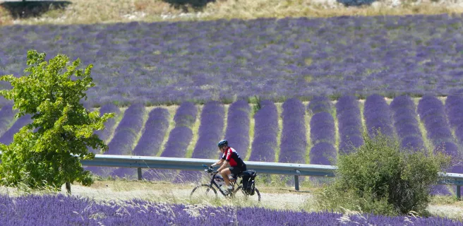
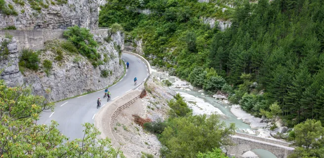
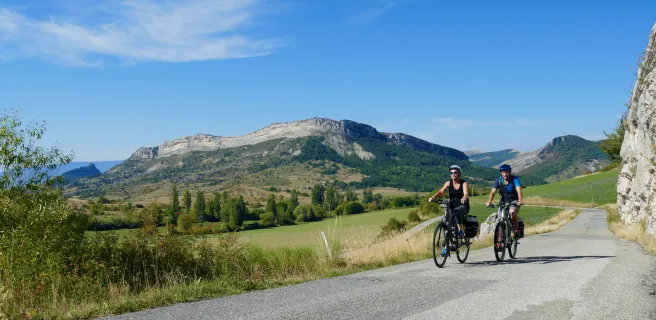
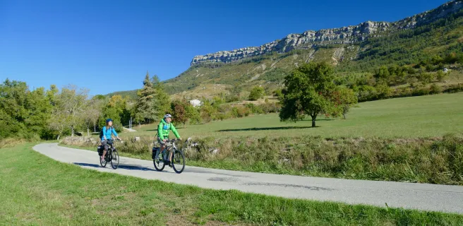
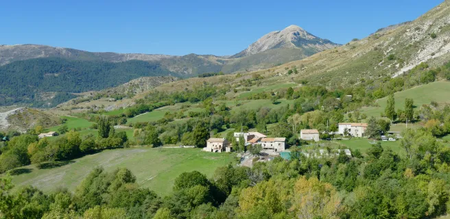
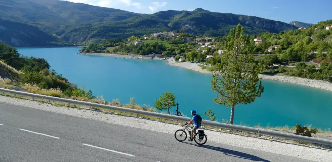
P'tites Routes du Soleil® "borders" the western Alps, crossing most of the pre-alpine massifs: Chablais, Chartreuse, Vercors, Diois, Baronnies, Buëch, Préalpes de Digne, de Castellane, de Nice. The Pre-Alps are the cradle of an ancient and solid rural mountain civilization in remarkable balance with the natural environment. As incredible as they are diverse, the landscapes take you from forests to wild plateaus, from lavender fields to hilltop villages... Everywhere, limestone has shaped breathtaking horizons. It's not for nothing that the first UNESCO-listed Geopark was born in Haute-Provence, around Digne-les-Bains.
From north to south or south to north
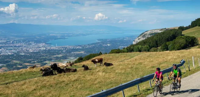
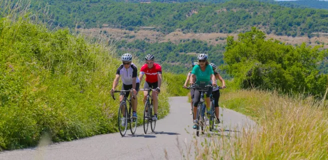
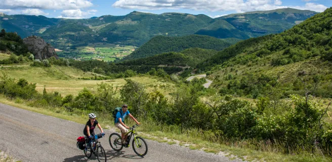
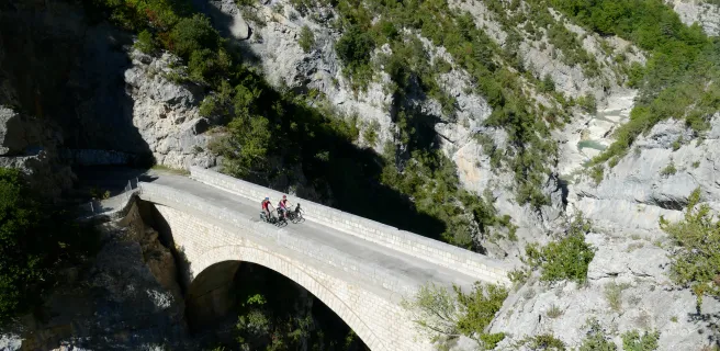
There are no variants for this beautiful escape in the shape of an arc of a circle, where car traffic remains very reasonable. As with Route des Grandes Alpes®, you can follow P'tites Routes du Soleil® from north to south or south to north. Depending on your level and appetite, don't hesitate to group stages, some of which are less than 40 km long. While the usual precautions always apply in terms of weather, there's little chance of you being surprised by snow, or encountering extreme conditions.
In short, don't underestimate P'tites Routes du Soleil®, but don't hesitate for a second to take up the challenge!
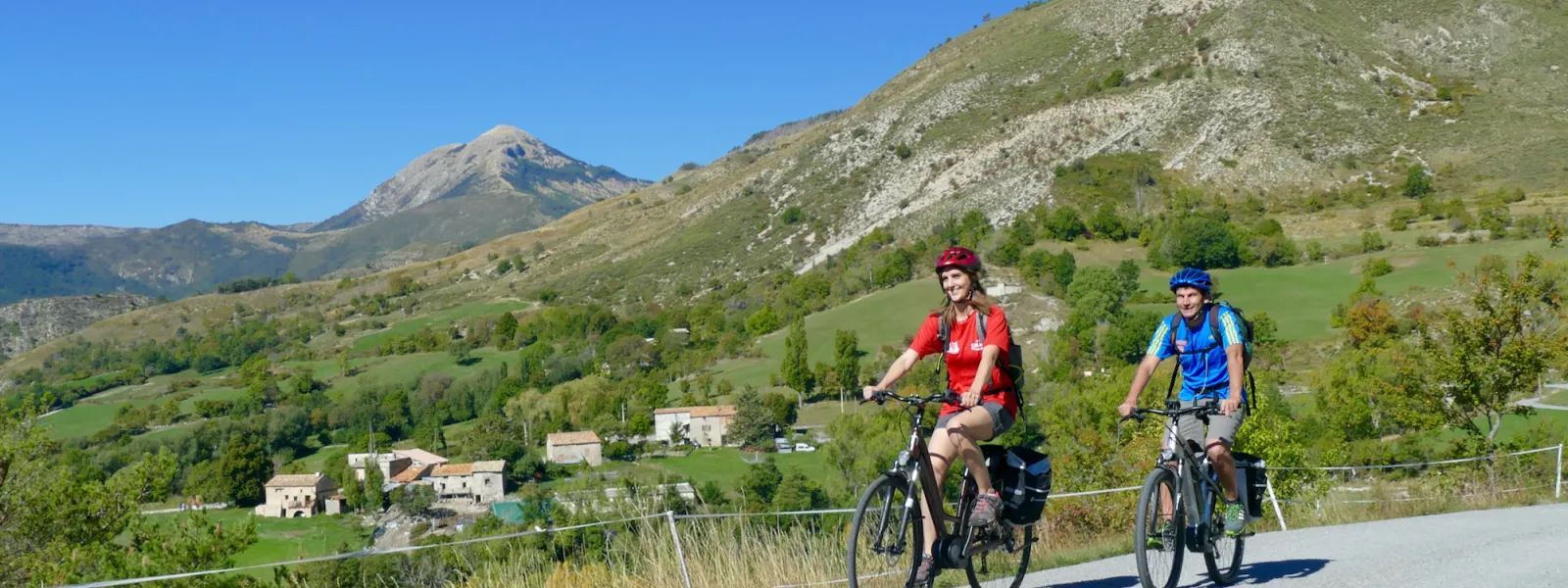
Easier, thanks to the VAE!
To make the route accessible to as many people as possible, the entire route is dotted with VAE (electrically assisted bicycle) recharging points spread out every 30 to 40 kilometers. This means that the group can be made up of people of different levels, some on bikes and others on VAEs. The VAE makes the ascents of the major passes accessible and allows everyone to find their balance between effort and pleasure.
Check out our FAQ by clicking here!
Trains and transport on the route
View infrastructure on the map
Reviews for P'tites Routes du Soleil
"Accueil Vélo" accommodation on P'tites Routes du Soleil
58 Accueil Vélo accommodations await you on P'tites Routes du Soleil!
View accommodations on the map
The 21 stages of P'tites Routes du Soleil
1 Thonon-les-Bains / Boëge
2 Boëge / La Muraz
3 La Muraz / Desingy
4 Desingy / Entrelacs
5 Entrelacs / Saint-Jean-de-Chevelu
6 Saint-Jean-de-Chevelu / Lépin-le-Lac
7 Lépin-le-Lac / Saint-Pierre-d'Entremont
8 Saint-Pierre-d'Entremont / Grenoble
9 Grenoble / Villard-de-Lans
10 Villard-de-Lans / Die
11 Die / Valdrôme

12 Valdrôme / Valdoule
13 Valdoule / Garde-Colombe
14 Garde-Colombe / Salérans
15 Salérans / Sisteron
16 Sisteron / Digne-les-Bains
17 Digne-les-Bains / Tartonne
18 Tartonne / Saint-André-les-Alpes
19 Saint-André-les-Alpes / Saint-Auban
20 Saint-Auban / Les Ferres