Vallée de la Tinée - Nice Côte d'Azur
The life-size Mercantour
Massif du Mercantour
Département et Région : Alpes-Maritimes and Provence-Alpes-Côte d'Azur
Principal passes : col and cime de la Bonnette, col de la Couillole, col Saint-Martin (la Colmiane), col de la Lombarde France / Italy
Étape sur Route des Grandes Alpes® : Valberg / Saint-Martin Vésubie, variant Barcelonnette / Saint-Etienne-de-Tinée and variant Saint-Etienne-de-Tinée / Saint-Martin Vésubie
Étape sur Route des Grandes Alpes® Gravel : Barcelonnette / Saint-Dalmas-le-Salvage, Saint-Dalmas-le-Selvage / Marie and Marie / La Bollène-Vésubie
Summary
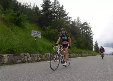
- Suggestions for cycling loops
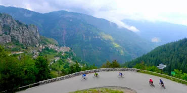
- Our major passes
- Events around cycling
- Biking in the Vallée de la la Tinée
- Summer in the Vallée de la Tinée
- Other seasons
- Other events
- Services
- Testimonials
- FAQ
- Access
- Contacts
- Other villages and resorts near the Vallée de la Tinée
Suggestions for cycling loops around Vallée de la Tinée
Our major passes
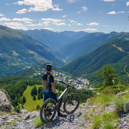
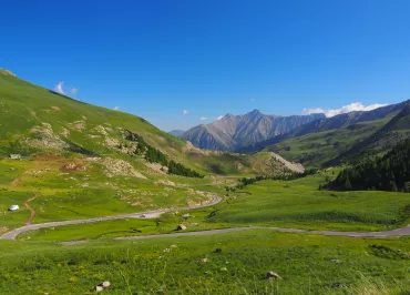
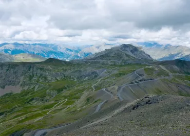
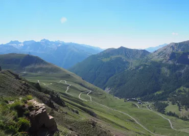
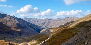
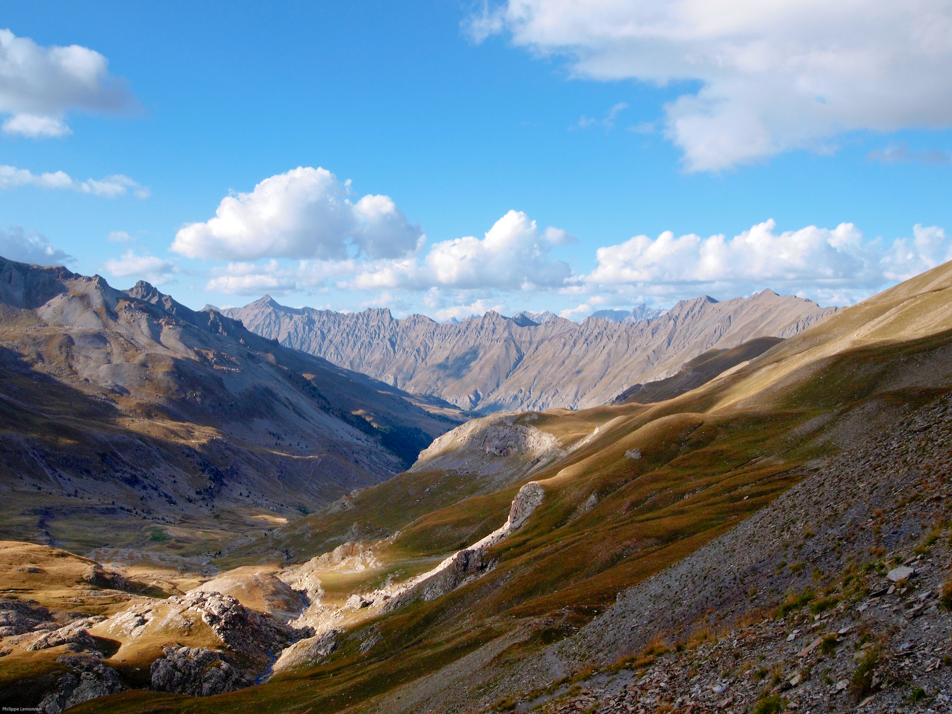
The col de la Bonette highest road in Europe offers unique high mountain scenery between Tinée and Ubaye. Hamlets, torrents, waterfalls, lakes, high altitude meadows, flora, fauna (marmots and chamois), herds of sheep and pastoralism, military heritage - a climb rich in discoveries awaits you. Col at 2715 and tour of the Cime de la Bonette at 2802 m.
The col de la Lombarde, popular with sports enthusiasts from Isola 2000. A 17km climb up the Chastillon valley to the Isola 2000 resort, followed by a final 3km ascent in an alpine atmosphere. After the pass, the tour descends into the Stura Valley, with a recommended stop at the Sanctuary of Saint Anne de Vinadio. Europe's highest sanctuary, built in the 13th century at 2035 m.
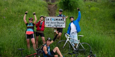
The col Saint-Martin (la Colmiane) from the Vallée de la Tinée road. The true sportsman will appreciate the climb to the hamlets and villages of the Val de Blore. This highly fertile valley has been settled for centuries: Saint-Dalmas Valdeblore has a medieval origin. Visitors can take in the magnificent facades, chapels, bell towers and fortified gates as they pass. The Col de la Colmiane pass offers a panoramic view of the Mercantour mountains, including the Gélas summit, the highest point in the Alpes Maritimes at 3150 m. Finally, the descent into the Vésubie forest leads to the village of Saint Martin, capital of the Suisse Niçoise in the heart of the Mercantour National Park.
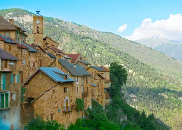
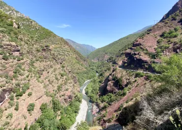
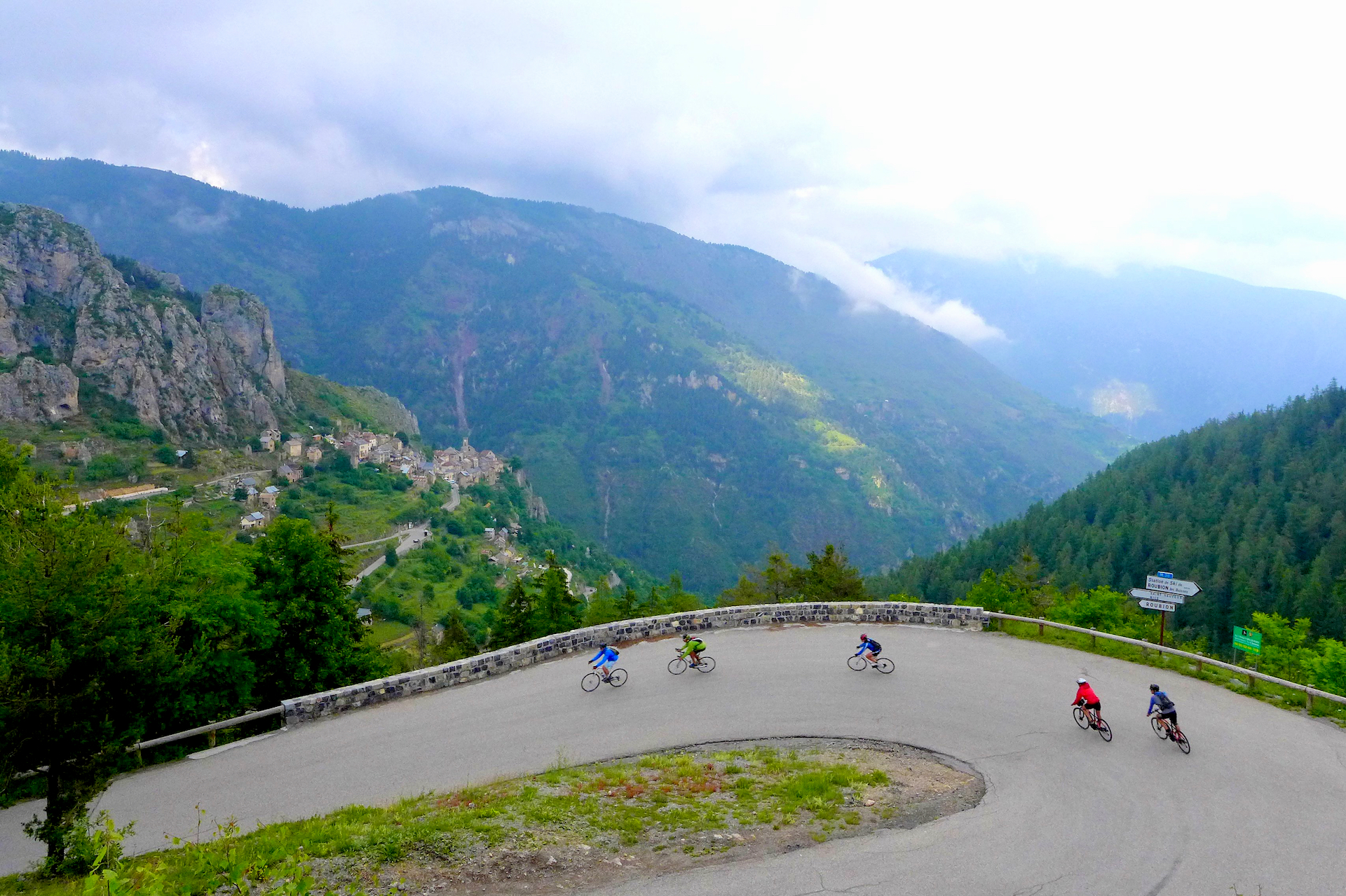
The col de la Couillole from Saint Sauveur sur Tinée at 500 m altitude. The climb offers a clear view of the Tinée valley, before entering the Vionène valley. A narrow road, a series of tunnels, a passage to the small perched village of Roubion and, after the forest, the Col de la Couillole awaits you at 1678 m.
Coming back in winter
The ski resorts: Auron and Saint Etienne de Tinée linked to the Auron domain, Isola 2000, La Colmiane and Roubion-Les-Buisses welcome you for a highly diversified downhill skiing offer. Family resorts or freestyle atmosphere, in the resorts Nice Côte d'Azur everything is possible!
The Nordic hiking site at Saint-Dalmas-Le-Selvage, conducive to snowshoeing, ski touring and cross-country skiing.
The zip line at La Colmiane all year round, including in winter for maximum thrills above the ski slopes.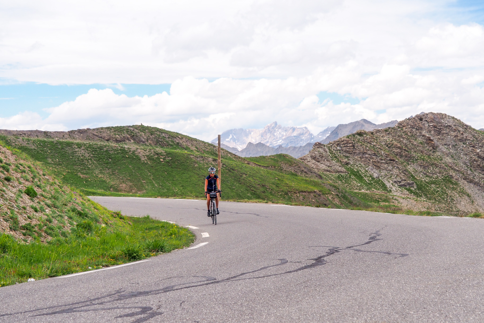
Other events
- Val Raid de Blore (May)
- Trail des Millefonts - Valdeblore (June)
- La Bonette pedestrian race (July)
- Isola Chestnut Festival (November)

Services
Office de Tourisme Métropolitain :
- Auron office at 04 93 23 02 66
- St Etienne de Tinée at 04 93 02 41 96
- Saint-Dalmas-le-Selvage at 04 93 02 46 40
- Isola 2000 04 93 23 15 15
- Roubion 04 93 02 10 30
- La Colmiane 04 93 23 25 90
Aquavallée center open year-round at Isola Village at 04 93 02 16 49
Pools in season at Auron resorts, Isola 2000 and La Colmiane.
Testimonials
Thank you so much for pampering us with your magnificent suggestions for walks and discoveries of the Côte d'Azur's visually stunning sites... a real pleasure, we love it! Eva Kom
Magnificent, multi-faceted region to be admired and discovered imperatively.
Thank you for whetting our curiosity! Melie Rose
Skiing with a sea view, what resort outside the @departement06 can say as much? schumannclara06
FAQ
- Which Tinée pass is the highest road in Europe?
The Cime de la Bonette pass at 2802m - What is the highest point in the Haute Tinée?
Mont Ténibre at 3031m - What National Park runs through the Tinée territory?
The Mercantour - Where does the Tinée river have its source?
Near the summit of the Col de la Bonette - When was the Isola 2000 resort born?
1971
Access
Airport
- Nice International Airport
Road access
- Route de la Tinée: RM 2205
SNCF train and bus stations:
- Bus lines Réseau Lignes d'Azur (RLA): lines 92 Isola 2000 and lines 91 Auron
Contacts

Office de Tourisme Métropolitain Nice Côte d'Azur
☎ 04 93 02 46 40 www.explorenicecotedazur.com
Facebook Instagram Youtube X Linkedin Pinterest
"Text and photo contents published under the responsibility of the tourist offices that provided them to us and own them."
