Maurienne-Galibier
Where adventure meets nature
Massif: Maurienne
Département and Région: Haute-Savoie and Auvergne Rhône-Alpes (AURA)
Main passes : Col du Télégraphe, Col du Galibier
Stage on Route des Grandes Alpes ® : Variant Saint-François-Longchamp / Valloire, Variant Val-Cenis to Saint-Jean-d'Arves, Val Cenis / Valloire
Stage on Route des Grandes Alpes ® Gravel : Modane / Valloire, Valloire / Briançon
Summary
- Suggestions for cycling loops
- Our major passes
- Events around cycling
- Biking in Maurienne-Galibier
- Summer in Maurienne-Galibier
- Coming back in winter
- Other events
- Services
- FAQ
- Access
- Contacts
- Other villages and resorts near Maurienne-Galibier
Suggestions for cycling loops around Maurienne-Galibier
Our major passes
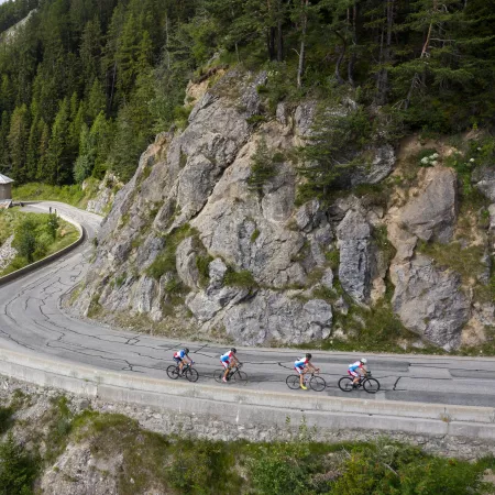
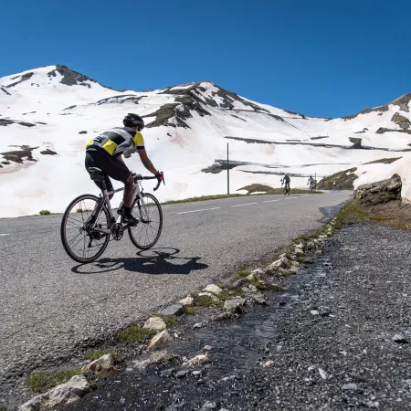
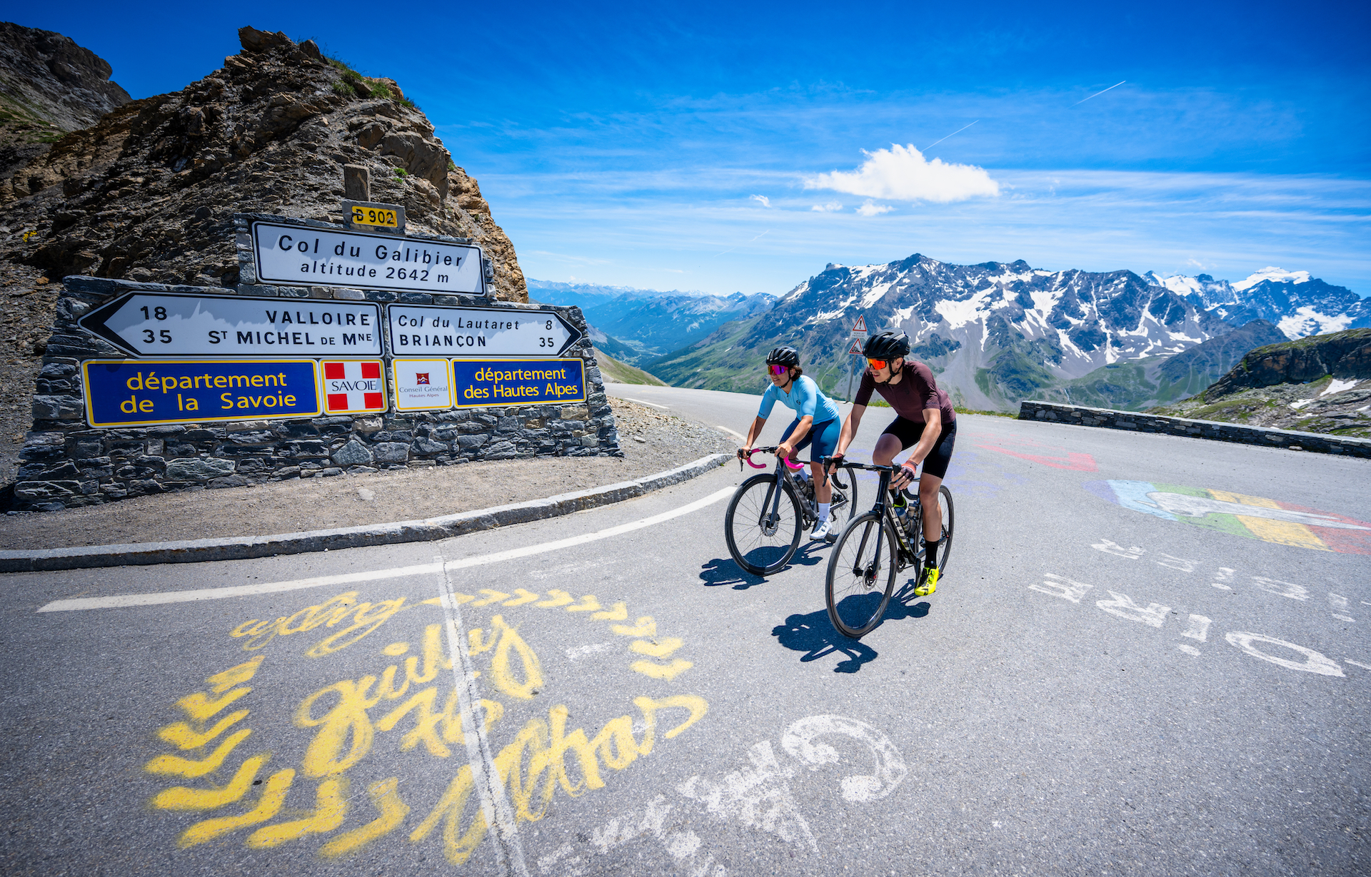
The Col du Galibier is one of France's most emblematic and prestigious peaks. Rising to an altitude of 2642 meters, it stands as a legendary monument to cycling. A true legend of the Tour de France since 1911, the Galibier has seen countless exploits and memorable passages by champions of the petite reine, cementing its place in the mythology of the sport.
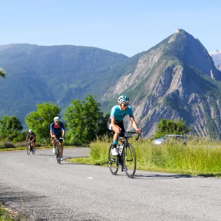
The Col du Télégraphe is the first major challenge on the route to the mythical Col du Galibier. At an altitude of 1570 metres, it is the perfect introduction to climbing the Alpine passes. This pass is particularly popular with cyclists for its steady ascent and its accessible yet demanding nature. The name Telegraph refers to an optical telegraphy system installed in the 19th century, used to relay messages between valleys and peaks, an innovative technology at the time.
Coming back in winter
Winter in Maurienne Galibier, a true paradise for mountain and winter sports lovers. Our territory is home to three exceptional ski resorts: Valloire, Valmeinier and Orelle, each offering a unique and memorable experience.
The Galibier Thabor ski area, which brings together the resorts of Valloire and Valmeinier, is an incredible playground for skiers of all abilities. Named after the majestic Galibier and Thabor peaks, which rise to over 3,000 meters, this area offers 160 km of varied runs. Whether you're a beginner or an expert, you'll find runs to suit all tastes, from gentle slopes to more technical challenges.
The resort of Orelle, meanwhile, is the gateway to the World's Largest Ski Area ®: the 3 Valleys. With its 344 runs, this area is a veritable Eldorado for ski enthusiasts, and comes with a ski guarantee and a snow guarantee for the 5 months it is open. From Orelle, it takes just 15 minutes to reach Plan Bouchet at an altitude of 2350 metres. Another 7-minute climb and you're at the summit of the mythical Cime Caron at 3200 meters, offering breathtaking panoramas and unforgettable descents.
.jpg)
Other events
The Maurienne Galibier region is a dynamic and festive destination, offering a multitude of events throughout the year, both in summer and winter.
In summer, you can admire stunning works of art at the straw and hay sculpture competitions in Valloire. Music lovers, meanwhile, will delight in the baroque and rock music festivals, including the famous Le Pic Sonne festival. Sports enthusiasts are not left out, with competitions such as the Trail Galibier Thabor, the Valmeinier Obstacle Race and the Valmeinier Throwdown crossfit event. The Orelle Challenge, which combines a KV and a bike climb, is also a must-see event for sports challenge enthusiasts.
In winter, the area is transformed into a veritable white paradise from December onwards, with Christmas festivities that enchant young and old alike. Among the flagship events, the International Ice and Snow Sculpture Competition in January attracts artists from all over the world. The Montée de la Mine in Valmeinier, a demanding mountaineering race, and the Valmeinier Run and Ski, a race combining skiing and running, will be challenges for the most daring. At the same time, numerous events and activities complete this rich and varied offering, guaranteeing unforgettable moments for all.
A 4-season destination, the Maurienne Galibier territory also offers a variety of events throughout the year. Among them, don't miss the traditional Foire aux Plantes on May 3 and 4, 2025. This not-to-be-missed event brings together gardening enthusiasts and local producers for two days of exchanges, discoveries and convivial activities.
In September, let yourself be seduced by the patronal feast of Saint-Michel, celebrated on the last weekend of the month. This event, rich in tradition and festivities, invites you to enjoy a variety of activities and warm moments with local residents.
.jpg)
Services
The Maurienne Galibier region welcomes you all year round with a full range of services to make your stay unforgettable. The Maurienne Galibier tourist office, open all year round, is at your disposal to answer all your questions and help you organize your stay down to the last detail.
For your comfort, the territory is equipped with a wide range of shops and services. You'll find accommodation to suit all tastes and budgets, from 3* hotels to more traditional chalets. Whether you're looking for an all-inclusive stay or an independent rental, rental agencies, 3 reservation centers and 4 tourist offices are available to satisfy all your expectations and needs.
In terms of facilities, the territory is also well-equipped for electric mountain bike enthusiasts, with charging stations available to enable you to make the most of your mountain adventures.
Whether you're looking for relaxation, adventure or discovery, the Maurienne Galibier territory does everything possible to offer you a comfortable and memorable stay.
.jpg)
FAQ
Which ski resort in the Maurienne Galibier region is part of the world's largest ski area?
Orelle with its link to Val Thorens, in the 3 Valleys
Which emblematic pass in the Maurienne Galibier territory is one of the highest crossed by the Tour de France?
The Col du Galibier
How many times has the Col du Galibier already been crossed by the Tour de France?
68
How many national parks are close to the Maurienne Galibier territory?
The Vanoise National Park and Les écrins
What emblematic fauna, apart from the ibex, is frequently seen on hikes?
The marmot
What mythical pass, in addition to the Galibier, is a key passage for cyclists on the Maurienne Galibier territory?
Le col du Télégraphe
Which village in the territory hosts an international festival of ice and straw sculptures every year?
Valloire
Which commune is hosting a Critérium du Dauphiné finish in 2025?
Valmeinier
What is our territory's culinary specialty?
Le farçon
Access
SNCF train station and bus station :
- Saint Michel - Valloire by TER
- Modane by TGV
Road access
- A43 freeway towards TURIN, exit no. 29
- Departmental road D1006
- Briançon via the Col du Galibier
Contacts
.png)
Office de Tourisme Maurienne-Galibier
☎ 04 79 56 87 43 www.maurienne-galibier.com
Facebook Instagram
"Text and photo contents published under the responsibility of the tourist offices that provided them to us and own them."
