


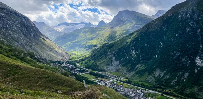
Before turning to the beautiful village of Valloire
Altitude 1566 m
Massif des Cerces
Département Savoie
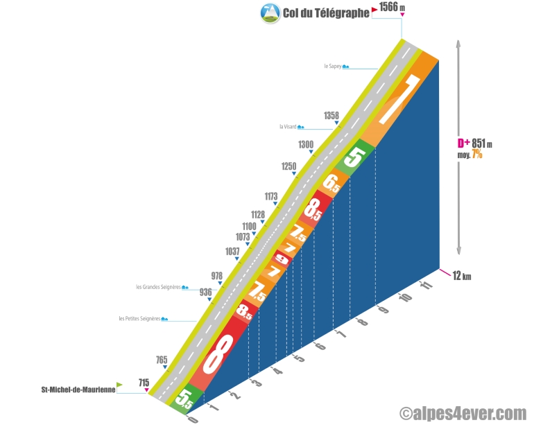
North side topo
Your journey has started in Thonon-les-Bains and you're doing the sums: 289 km and almost 7500 m of D+... you haven't even done half the route and just passed the third of the total difference in altitude! But your thoughts are already turning to a mythical climb scheduled for today: the Col du Galibier, a giant at 2642 m in altitude!
But before that, from St-Michel-de-Maurienne, we'll have to climb the stepping stone to the Col du Galibier: the Col du Télégraphe. A wide, well-paved road, multiple switchbacks and a sustained but steady gradient will give you the opportunity to make an "economy" climb in preparation for the link-up with the Col du Galibier. Near the summit, breathtaking views plunge into the Maurienne Valley.
The map
The map
12 Val Cenis / Valloire
Author
Joris Lesueur
webmaster of alpes4ever.com
contact@alpes4ever.com