P'tites Routes du Soleil
Saint-Jean-de-Chevelu / Lépin-le-Lac
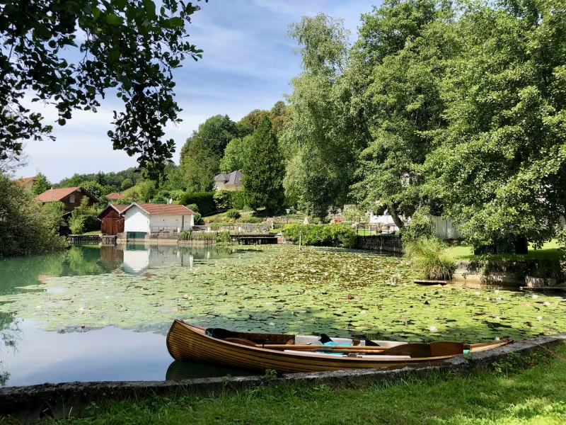
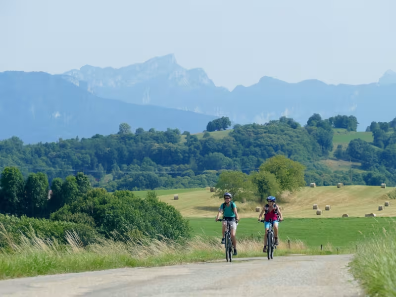
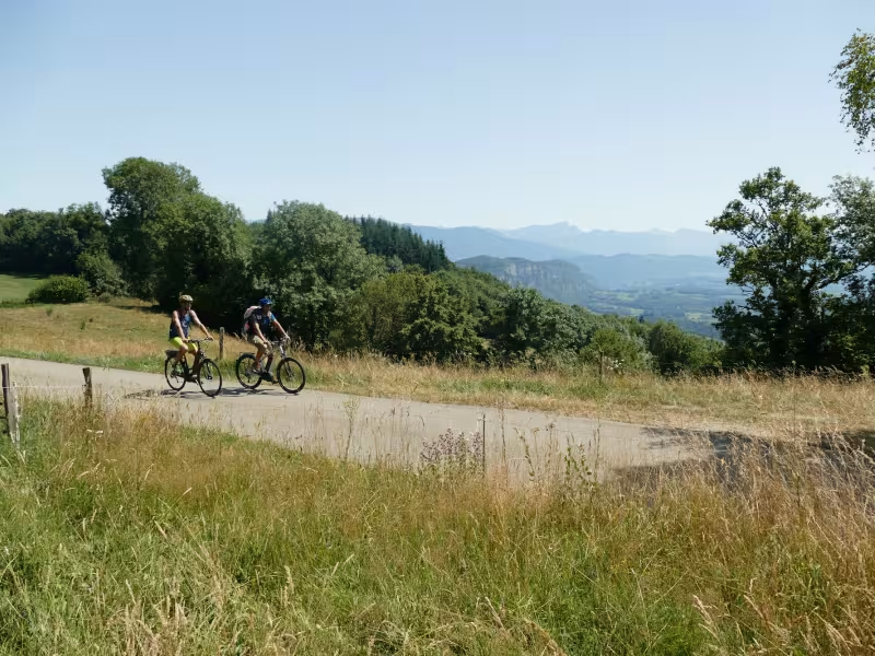
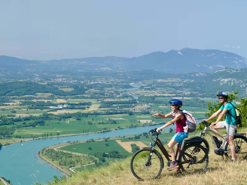
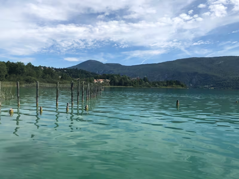
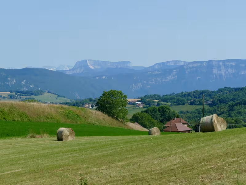
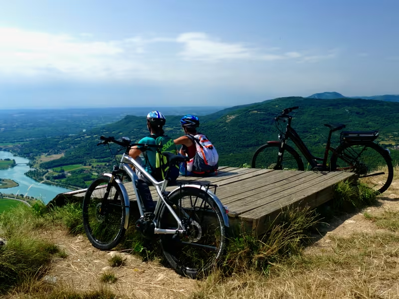
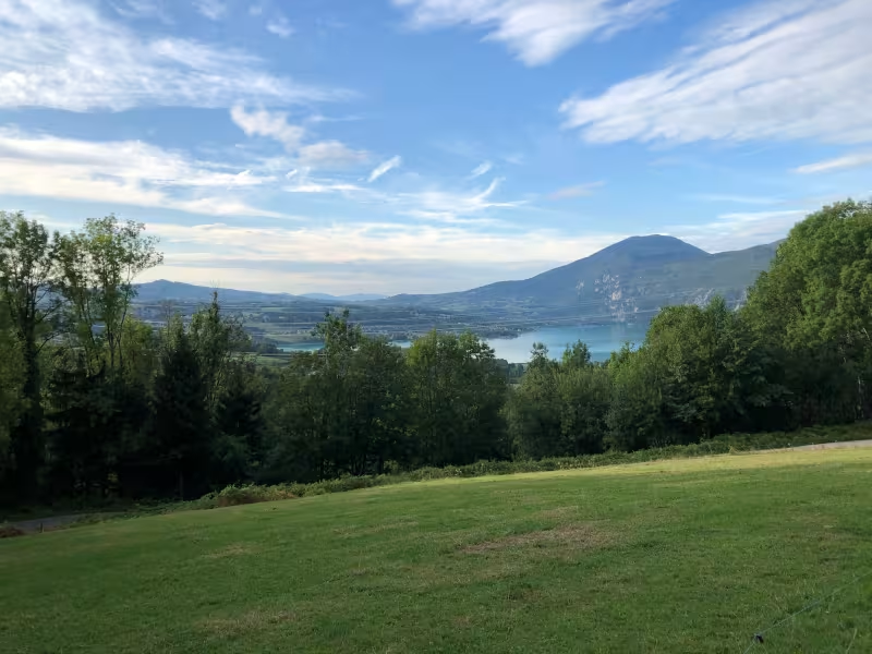
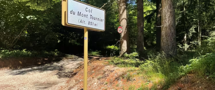
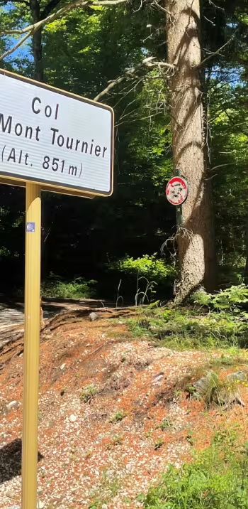
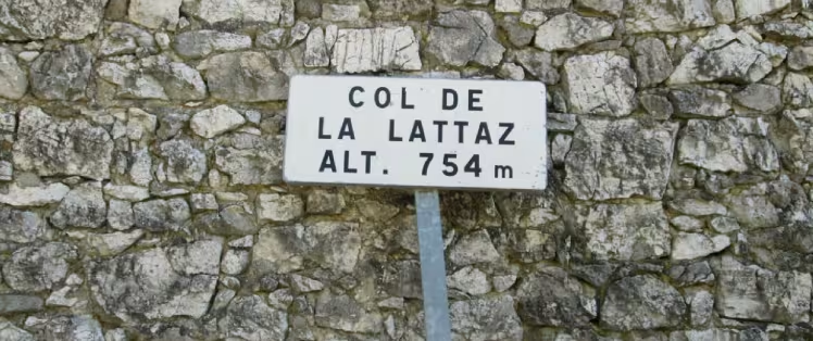
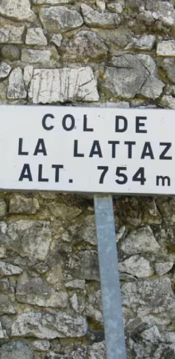
You now head from one major French Alpine lake to another! Cycle along this stage to reach the banks of Lac d’Aiguebelette, France’s third-largest natural lake. You leave behind the Chaîne de l’Épine Range, with its great views and mysterious legends, to continue along ways that keep you up on high. Between Aiguebelette and the Rhône Valley, this stage of the P’tites Routes du Soleil® leads you over three further passes: the Col du Mont-Tournier (821m); the Col de la Lattaz (754m); and the Col du Banchet (591m).
Gradients and elevation
Ascents: 1169m
Descents: 1109m
Lowest point: 248m
Highest point: 837m
Slope breakdown
8km steep descent (< -5%)
12km gentle descent (-5% to -1%)
8km flat (-1% to 2%)
8km climb (2% to 5%)
6km hard climb (5% to 8%)
4km very hard climb (> 8%)
Road types
45km (100%) of shared roads
- Cycle path
- Routes reserved for cyclists and pedestrians (greenways, cycle tracks, towpaths), separated from cars for maximum safety.
- Shared road
- Quiet minor roads with little traffic (unless otherwise stated in the stage details). Shared with cars (stay alert).
- Not specified
- Data unavailable or being assessed. Please refer to the detailed stage description.
- Provisional
- Section on a road or cycle path awaiting better-quality facilities (see stage details).
Surface
45km (100%) of smooth surface
- Smooth
- Asphalt, tarmac or smooth concrete. Optimal comfort.
- Rough
- Fine gravel, compacted stabilised surface or worn tarmac. Less comfortable, vibrations possible.
- Natural
- Dirt, grass, roots or stones. Under 5%: short sections with little impact. Higher percentage: route suited to mountain or gravel bikes only.
- Not specified
- Data unavailable or being assessed. Please refer to the detailed stage description.
Don't miss:
- Lac d’Aiguebelette: a little corner of paradise. Enjoy the Maison du Lac displays, stand-up paddleboard, or a well-deserved little pause on the beach at Lépin-le-Lac… We’ll leave you to decide how to make the most of the gentle possibilities around this exceptional lake.
- Mont du Chat: the highest point in the Chaîne de l'Épine Range dividing Lac du Bourget from Lac d’Aiguebelette. For cyclists wishing to take on an extra, extremely demanding challenge, tackle the climb to the Relais du Mont du Chat (1,496m), considered one of the hardest ascents in France for cyclists.