P'tites Routes du Soleil
Lépin-le-Lac / Saint-Pierre-d'Entremont
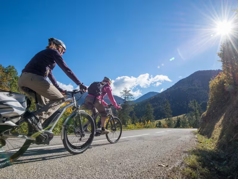
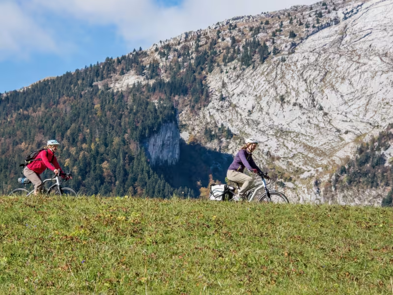
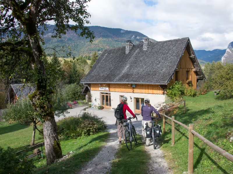
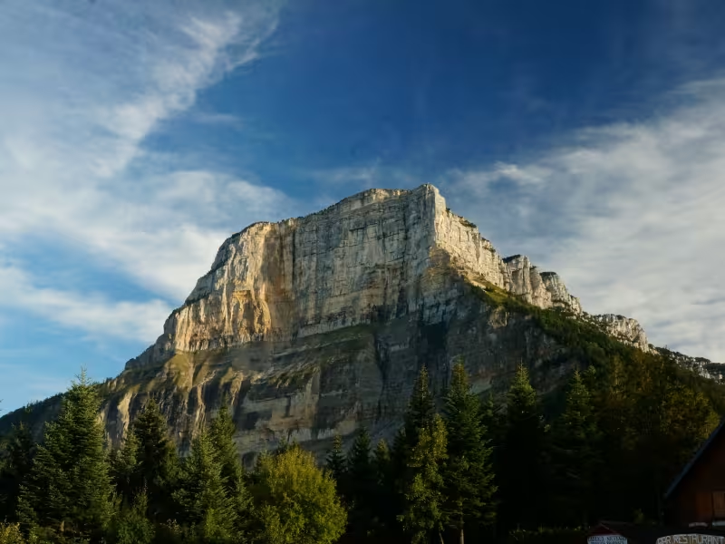
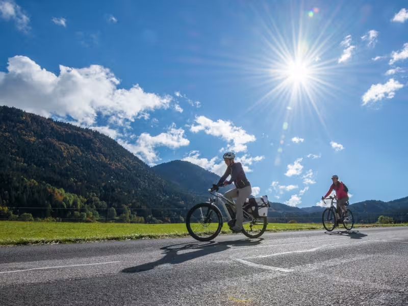
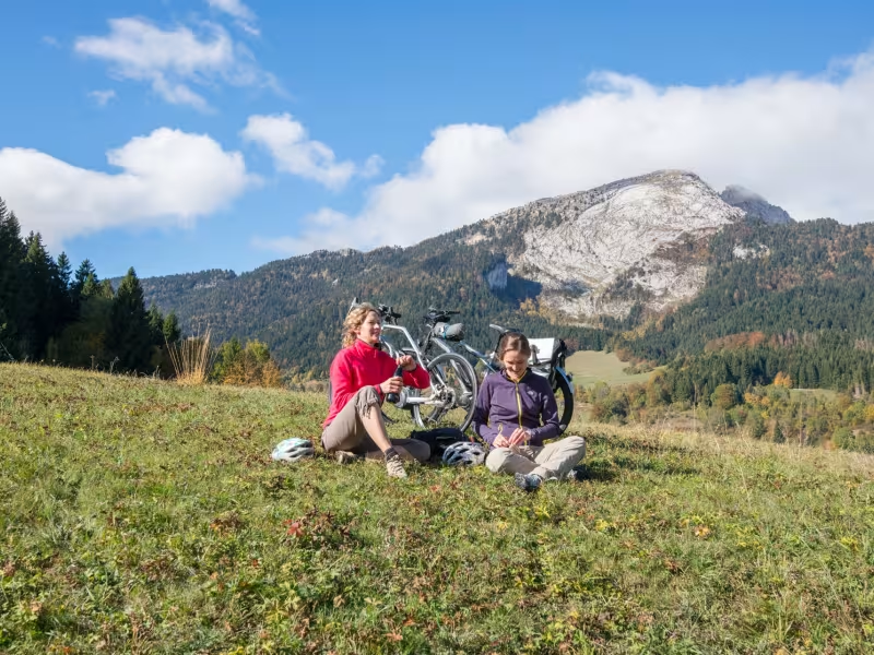
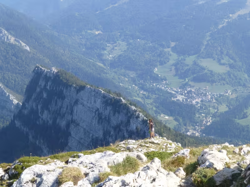
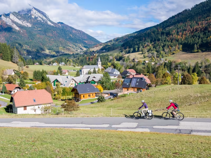
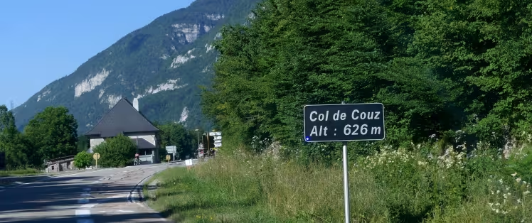
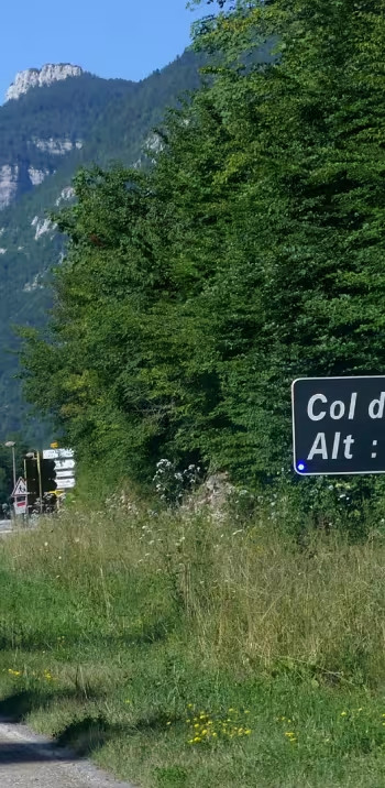
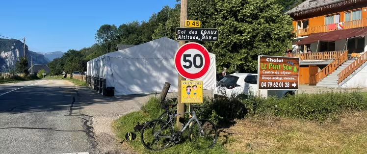
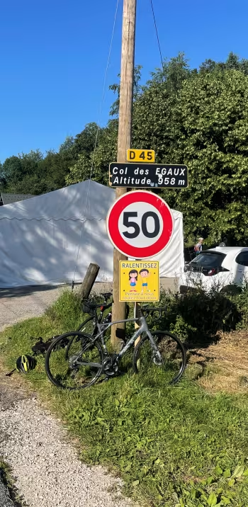
From Lépin-le-Lac, you ride below the Massif de l’Épine Range to reach Les Échelles. You’re now at the gateway to the Chartreuse Range, designated a regional natural park. The P’tites Routes du Soleil® cycle route leads you into this range via the Col de Couz (590m) and the Col des Égaux (958m). The demanding climb you endure is rewarded with the view of La Cochette’s summit to be admired from the passes. Cross the lovely village of Corbel, then descend via a little road to Saint-Pierre-d’Entremont, the ultimate goal on this stage. Welcome to the Chartreuse!
Gradients and elevation
Ascents: 1056m
Descents: 811m
Lowest point: 388m
Highest point: 961m
Slope breakdown
6km steep descent (< -5%)
8km gentle descent (-5% to -1%)
9km flat (-1% to 2%)
5km climb (2% to 5%)
5km hard climb (5% to 8%)
4km very hard climb (> 8%)
Road types
36km (100%) of shared roads
- Cycle path
- Routes reserved for cyclists and pedestrians (greenways, cycle tracks, towpaths), separated from cars for maximum safety.
- Shared road
- Quiet minor roads with little traffic (unless otherwise stated in the stage details). Shared with cars (stay alert).
- Not specified
- Data unavailable or being assessed. Please refer to the detailed stage description.
- Provisional
- Section on a road or cycle path awaiting better-quality facilities (see stage details).
Surface
36km (100%) of smooth surface
- Smooth
- Asphalt, tarmac or smooth concrete. Optimal comfort.
- Rough
- Fine gravel, compacted stabilised surface or worn tarmac. Less comfortable, vibrations possible.
- Natural
- Dirt, grass, roots or stones. Under 5%: short sections with little impact. Higher percentage: route suited to mountain or gravel bikes only.
- Not specified
- Data unavailable or being assessed. Please refer to the detailed stage description.
Don't miss:
- The Grotte de Saint-Christophe: the Saint-Christophe site includes two caves linked by the Voie Sarde, a high-perched Roman road. Just as the likes of Pope Pius II and Jean-Jacques Rousseau made use of this route, so can you, investigating this geological and historical curiosity.
- Corbel: a lovely little village clinging to a mountainside, enjoying stunning views. In fact, this village is made up of 12 hamlets to be discovered by following the hiking trail entitled Les Fours et les Fontaines.
- Parc Naturel Régional de la Chartreuse: this regional natural park encompasses the whole Chartreuse Range, a green gem encircled by soaring limestone cliffs, the main gateway towns being Chambéry, Voiron and Grenoble (in the départements, or French counties, of Savoie and Isère).