
View of the peaks of the Chartreuse Massif
Altitude 626 m
Massif du Jura / Massif de la Chartreuse
Département Savoie
South side topo
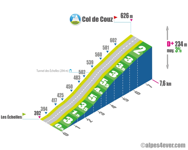
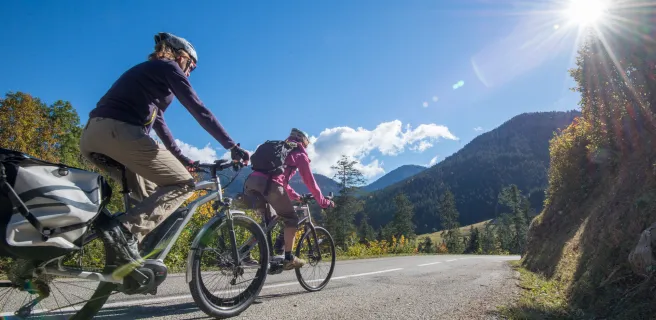
The Col de Couz is situated between the Montagne de l'Épine to the east and the Massif de la Chartreuse to the west at an altitude of 590 m above sea level. You'll also have the chance to observe the beautiful peaks of the Massif de la Chartreuse as you climb the south-facing slope from Les Échelles.
But it does have one small drawback: the D1006, which you'll be taking, is a large road with heavy traffic. However, the road is wide, and there's a cycle lane to keep you safe. What's more, the gradients are not excessive, so you won't have to linger too long on this 7.6 km climb. You'll just have to negotiate a 650 m passage at 5.5% including the crossing of the Tunnel des Échelles (294 m - lit).
The map
The map
7 Lépin-le-Lac / Saint-Pierre-d'Entremont
Author
Joris Lesueur
webmaster of alpes4ever.com
contact@alpes4ever.com