All stages on P'tites Routes du Soleil
Saint-André-les-Alpes / Saint-Auban
On the Castillon dam 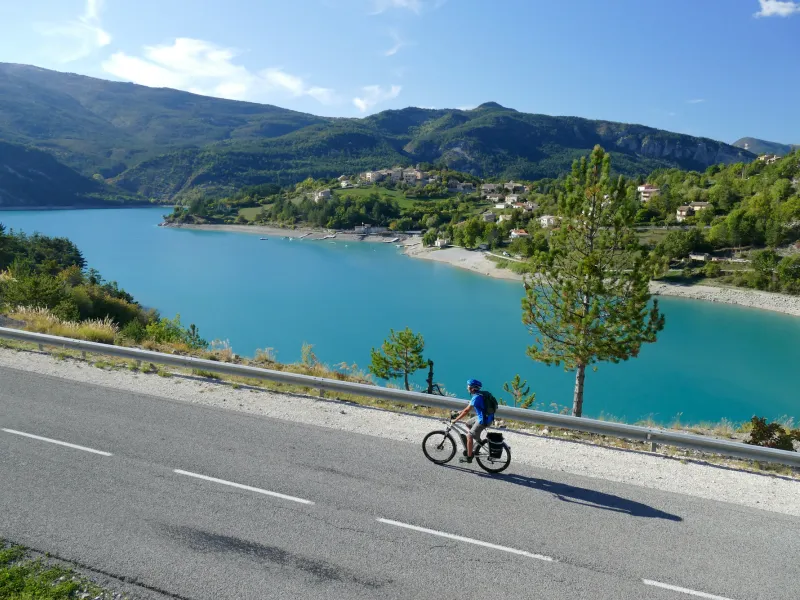
Lionel Terrail - Grandes Itinérances 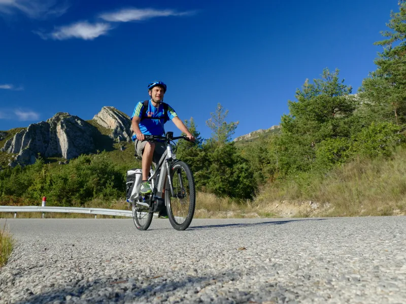
Lionel Terrail - Grandes Itinérances 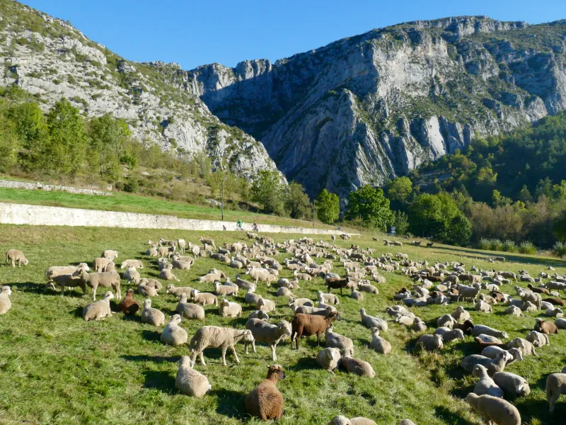
Lionel Terrail - Grandes Itinérances 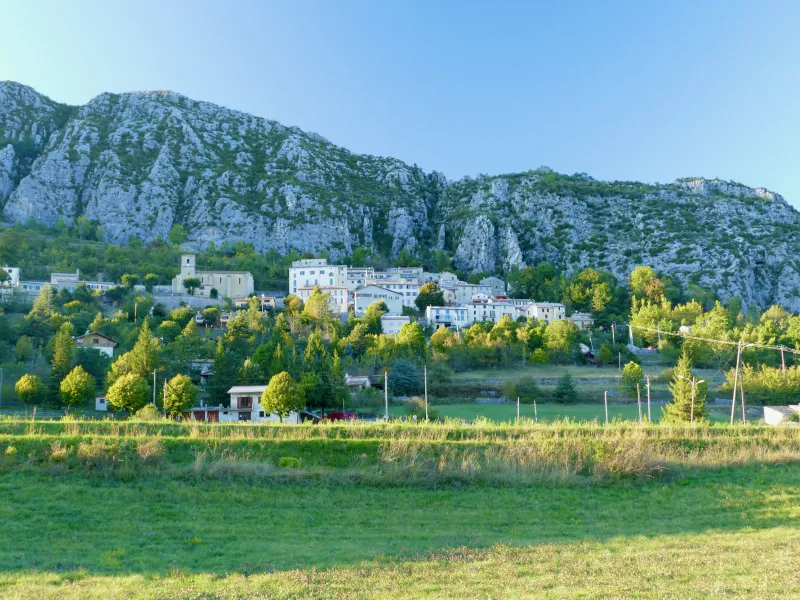
Lionel Terrail - Grandes Itinérances 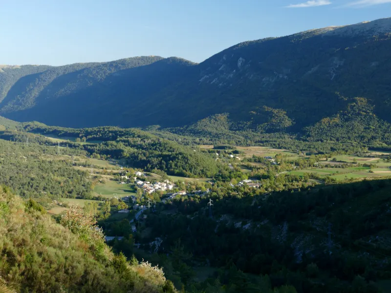
Lionel Terrail - Grandes Itinérances 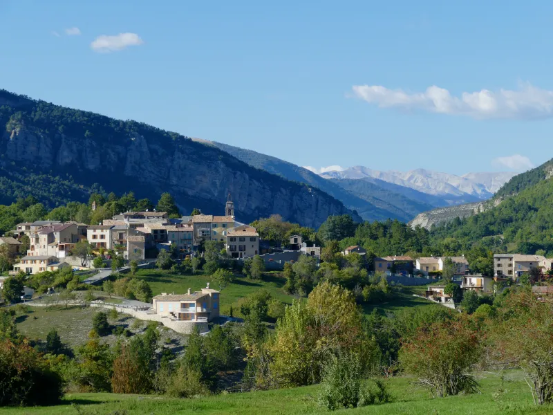
Lionel Terrail - Grandes Itinérances 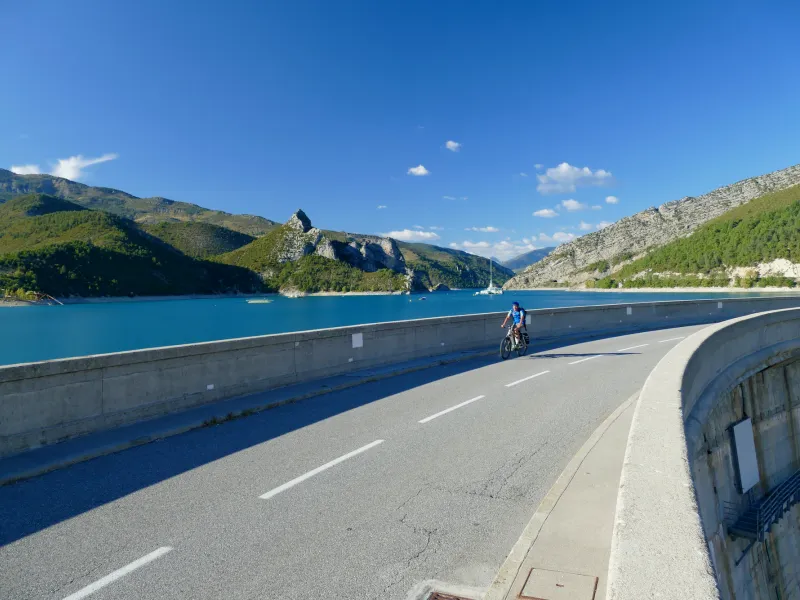
Lionel Terrail - Grandes Itinérances 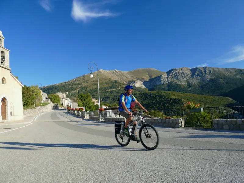
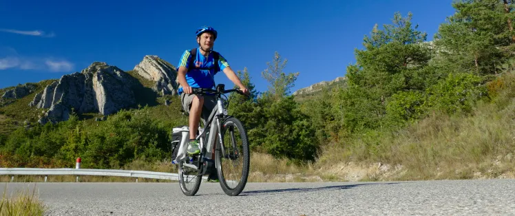
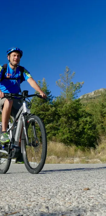
The P’tites Routes du Soleil® offers you a lovely cycling trip here, taking you from the département, or French county, of Alpes-de-Haute Provence to that of Alpes-Maritimes. Leaving Saint-André-les-Alpes, you then ride beside Castillon Lake, going via Saint-Julien-du-Verdon, a picturesque village full of Provençal charm. Next, you climb to reach Chaudanne Lake before continuing on to the Col de Saint Barnabé (a pass at 1,365m). There follows a rapid descent leading to the village of Saint-Auban. Factor in a little detour to look at the Clue de Saint-Auban, a deep, enchanting canyon.
Gradients and elevation
Ascents: 908m
Descents: 758m
Lowest point: 868m
Highest point: 1372m
Road types
35km (100%) By road
Surface
35km (100%) Smooth
Don't miss:
- Castellane: located just a bit away from the P’tites Routes du Soleil® but well worth the short detour, this town lies along the historic Route Napoléon, at the foot of steep cliffs, on the north bank of the Verdon River.
- Clue de St Auban: the tourist route that looks down on the Verdon’s south bank allows you to admire this top spot for canyoning in the Var.
- Parc Naturel Régional du Verdon: stretching across the départements, or French counties, of Alpes-de-Haute-Provence and the Var, this natural park encompasses areas as varied as the Plateau de Valensole, the upper and lower Verdon Gorges, the Haut-Var, the Préalpes de Digne and Préalpes de Castellane, Sainte-Croix Lake and more