All stages on P'tites Routes du Soleil Gravel
Bézaudun-les-Alpes / Nice
LT Grandes Itinérances 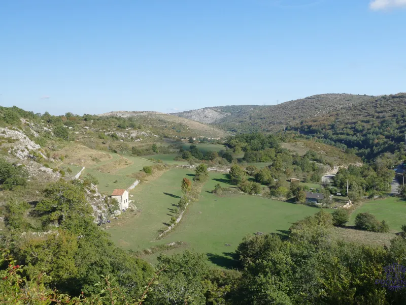
Bézaudun-les-Alpes
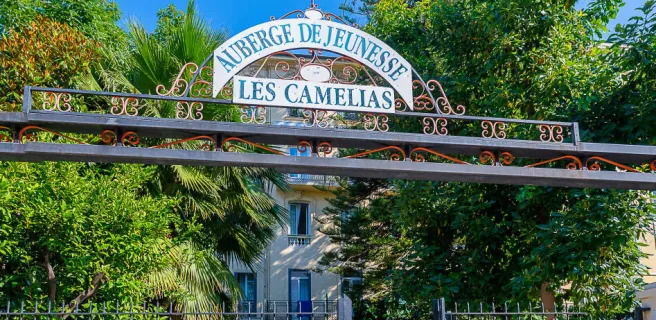
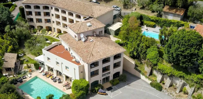
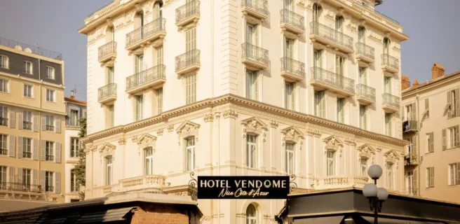
Nice
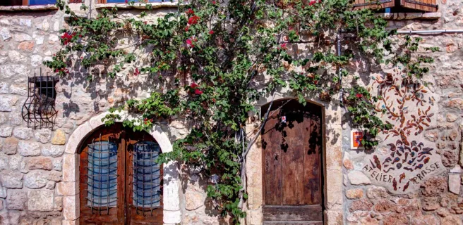
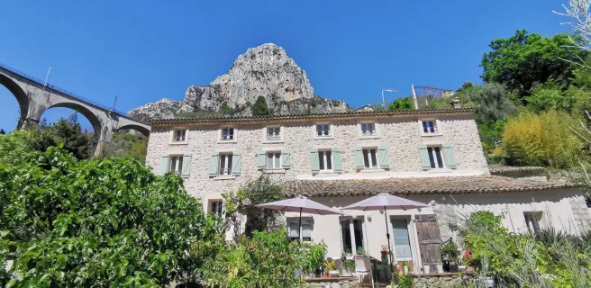
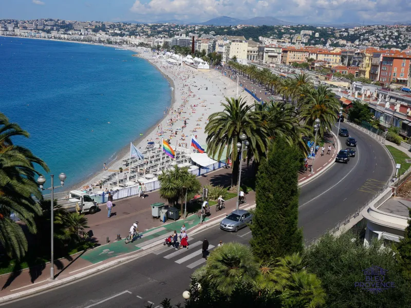
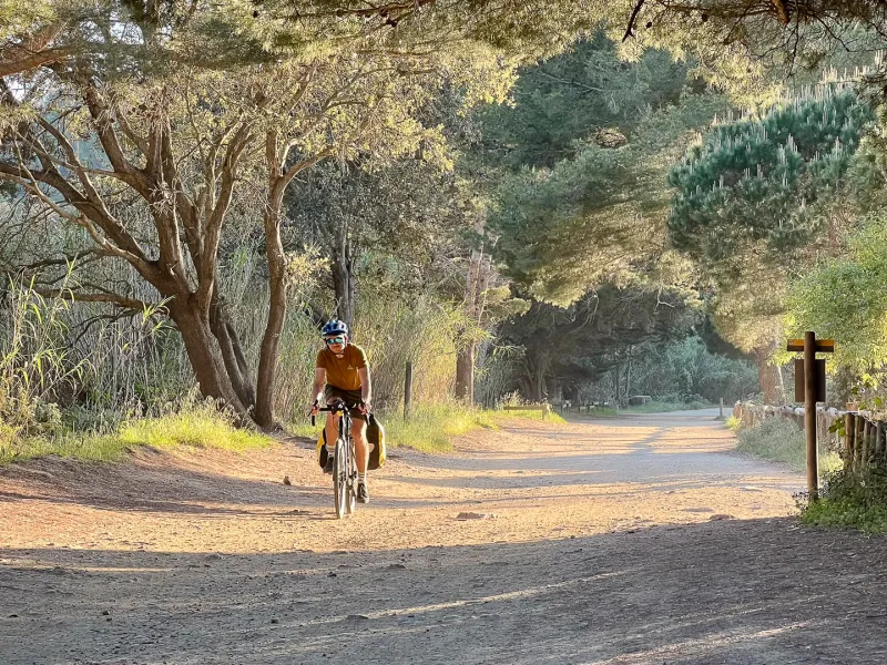
From Bézaudun-les-Alpes, join the Var valley, passing through Le Broc, a charming village perched on a rocky spur overlooking the confluence of the Var and Estéron rivers. You're in the north and not far from the famous "baous", the most famous of which is Saint-Jeannet, well known to climbers. After Carros, another beautiful medieval village dominated by its 12th-century castle, the route crosses the Var and heads north along the busy Grenoble road. After three unpleasant kilometers of traffic, you take a sharp right to juggle the tracks, paths and roads of the Nice hinterland. After following the Banquière to its junction with the Paillon, follow the latter to the sea and the Promenade des Anglais. Well done, you've done it!
Gradients and elevation
Ascents: 825m
Descents: 1649m
Lowest point: 2m
Highest point: 907m
Road types
32km (73%) By road
12km (27%) Cycle path
Surface
22km (51%) Smooth
16km (38%) Unknown
5km (11%) Unpaved
Don't miss
- The Préalpes d'Azur Regional Nature Park : located entirely in the Alpes-Maritimes and the Grasse Pre-Alps, it is both the Côte-d'Azur's "water tower" and one of the department's largest pastoral areas.
- Coursegoules : at the foot of the Cheiron mountain range, a beautiful village with superb architectural unity. Most of the houses, of medieval origin, are built in the region's slightly iridescent gray stone and topped with Roman tiles.
- Nice : Baie des Anges, Promenade des Anglais, Port... there's no need to introduce Nissa, economic capital, university town, cultural and artistic city...