Valdrôme / Lagrand
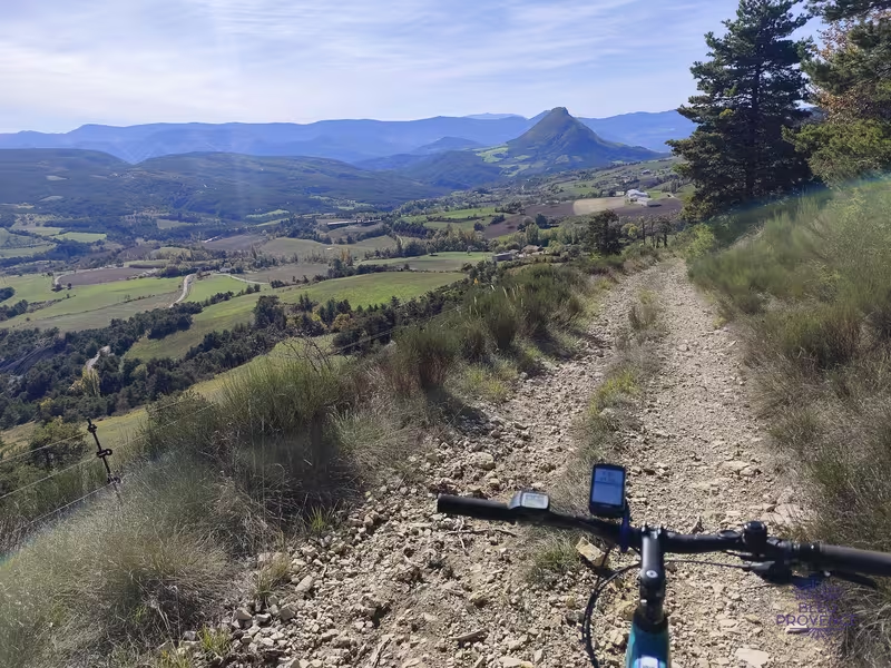
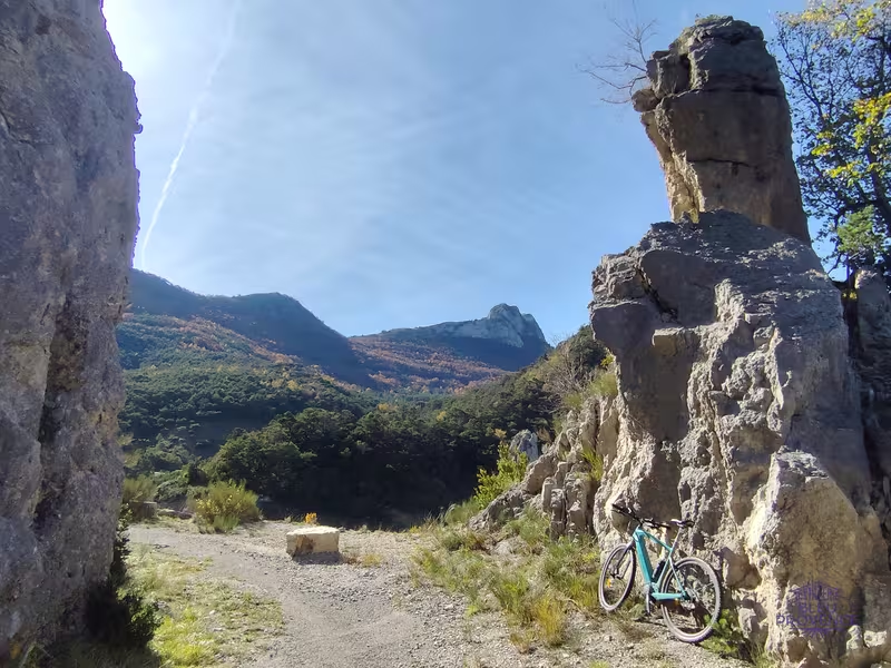
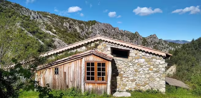
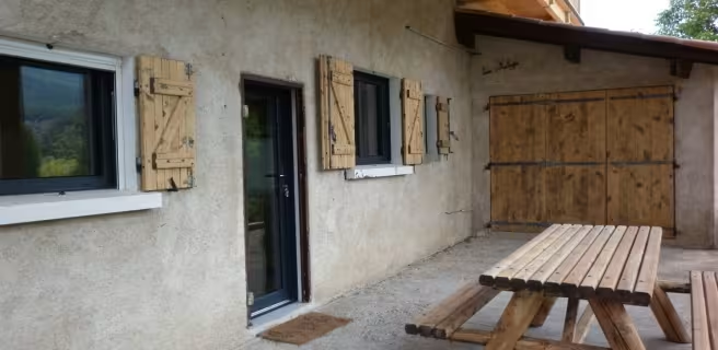
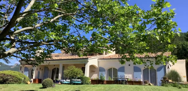
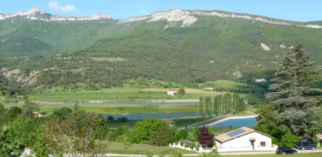
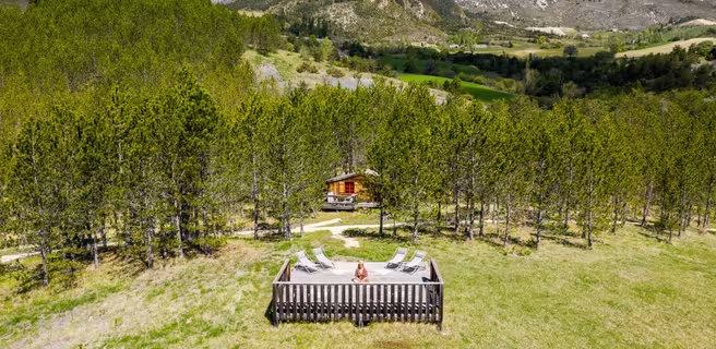
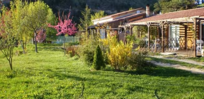
From Valdrôme, take the road up to the old ski resort for a few kilometers. Leave it on your left and follow the network of trails that cross the border between the Drôme and Hautes-Alpes departments. You'll pass the Praboyer gite, which has been awarded the Accueil Vélo label, on a refurbished track. From the gîte, you're in the northern part of the Baronnies Provençales regional nature park, and you'll reach the Oule valley at Montmorin via an old road, now accessible to hikers. Beware of a ten-metre-high climb! Large needle-shaped cliffs with views over the entire Oule valley. From Montmorin, you then begin the fairly serious ascent to the Col des Tourettes (1126 m) between the Montagnes de Maraysse and Chauvet. From the pass, descend towards Ribeyret, on the road between Gap and Nyons. From Ribeyret, take the Chemins du Soleil mountain bike route to Montjay via the Col de Roure (1198 m) and the Col de Serre Larobe (1014 m). Quiet climbs in a charming setting, between photovoltaic installations and lavender fields. From the Col de Serre Larobe, follow the balcony trail through forests and lavender fields. It leads to the two main difficulties of the day: the descent of the gorges d'Aumage and their ascent, where pushing is necessary. From Montjay, follow the valley of the Blaisance, a tributary of the Buëch. You pass Chanousse, perched on a spur overlooking the valley, and then reach Trescléoux, a village of old walls and pink tiles, steeped in sunshine and history. On the way to Lagrand, "Petite cité de caractère", with its superb panoramic views over the Buëch valley, we stop off at the Gite du Mont-Garde, which has been awarded the "Accueil Vélo" label.
Gradients and elevation
Répartition des pentes
Road types
Surface
Don't miss
- Valdrôme: on the border between Drôme and Hautes-Alpes. Star-shaped road bike circuits and signposted mountain bike trails on the Chemins du Soleil. A wild setting, fields of lavender... Resourcing guaranteed, in an enchanting natural setting!
- La vallée de l'Oule: land of truffles, its black gold, and the Bruys walnut, whose unique culture is associated with sheep farming.
- The villages: Montmorin, Ribeyret, Trescléoux...