Saint-Jean-de-Chevelu / Aiguebelette-le-Lac
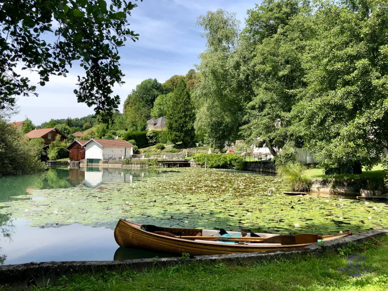
At St Jean-de-Chevelu, follow the busy D1504 for a few hundred metres, before turning left towards Saint-Paul-sur-Yenne. You're still in the Savoyard Foreland. The vineyards have given way to increasingly hilly and wooded countryside. It's all very beautiful, and all the more tranquil for the fact that 60% of the route is on footpaths, in countryside or forest. After heading south on the outskirts of Yenne, you begin the ascent of the northern slope of Mont Tournier (851 m). Its modest altitude conceals a not-so-easy ascent: almost 600 m of positive ascent spread over 10.5 km at an average gradient of 6%. The climb is divided into two sections. The first (7.8 km) is on the slopes of Mont Tournier, at an average gradient of 6%. The open landscape offers breathtaking views of Mont du Chat and Montagne de l'Épine. The second part, 2.7 km long, starts at L'Abully, when you leave the D40 to take the D42, which climbs to the summit of Mont Tournier. You're now in the forest, on slopes of between 7.5% and 8.5%. The last kilometer, at 3.5%, brings this ascent to a gentle close. The descent and the rest of the way to Saint-Maurice-de-Rotherens are on pleasant, rolling forest paths. The route then passes through Novalaise, before joining the shores of Lac d'Aiguebelette, near the A43 exit. Finally, it runs along the eastern shore of the lake, on a gravel surface dedicated to bicycles. End of section at Aiguebelette-le-Lac station.
Gradients and elevation
Road types
Surface
Don't miss
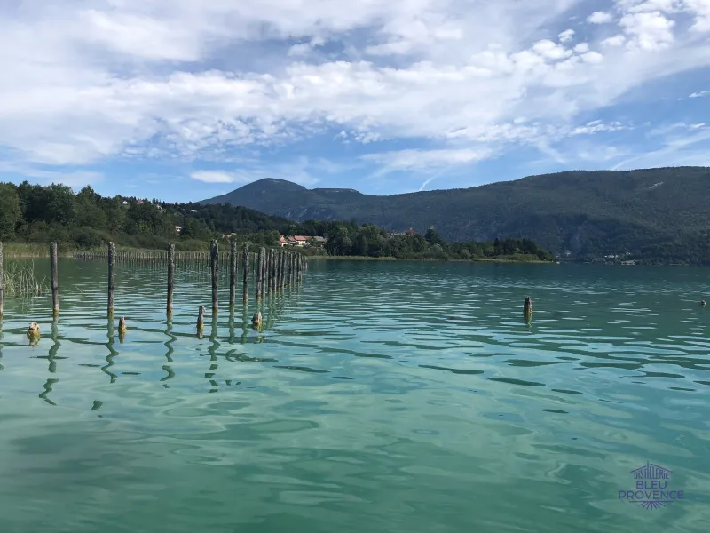
Lac d'Aiguebelette: nestled in the heart of the Montagne de l'Épine and situated at an altitude of 360 meters, it is "an emerald pearl set in a mountain setting." A Natura 2000 site, the lake boasts a remarkable ecosystem and protected natural areas.
Yenne : in the heart of the Dent du Chat territory and on the banks of the Rhône, the little town is said to harbor the secret of the real Gâteau de Savoie. Rich in heritage from its medieval past, it's well worth a visit. Don't miss the eponymous cheese from the region's emblematic mountain (La dent du Chat), produced at the Yenne cooperative: you'll be asking for more!