All stages on P'tites Routes du Soleil
La Muraz / Desingy
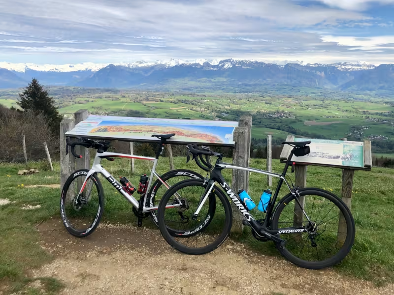
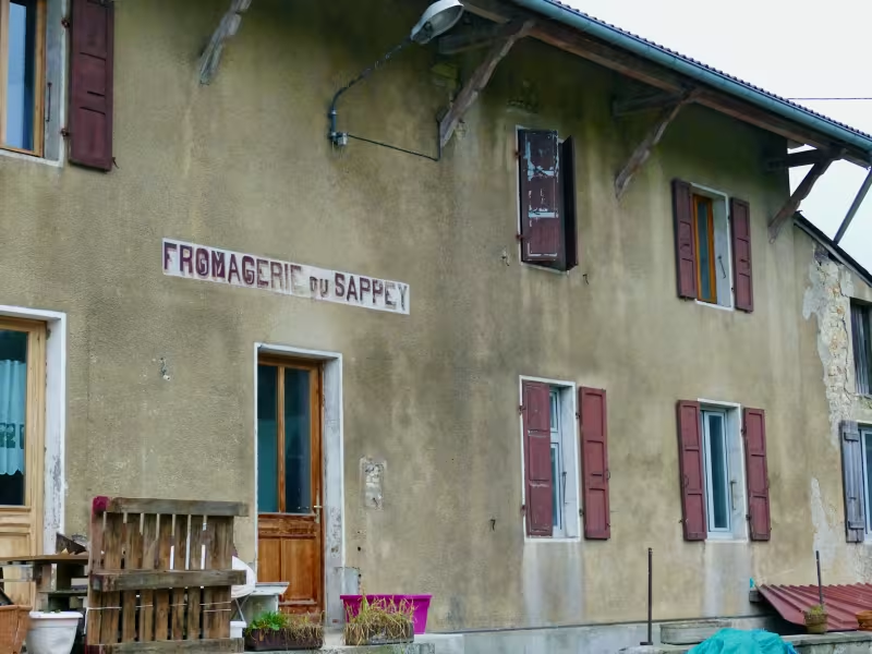
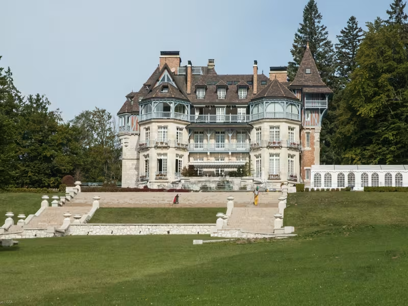
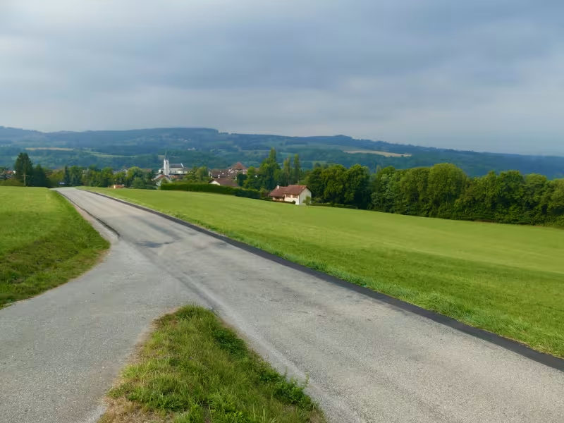
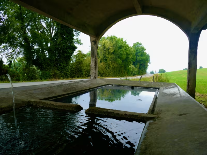
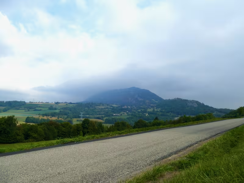
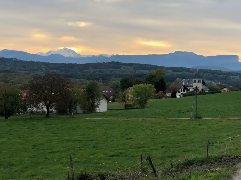
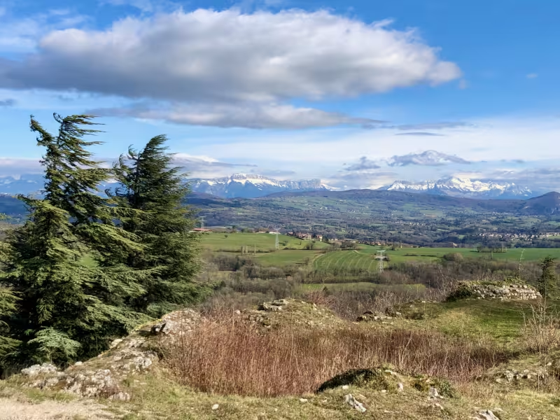
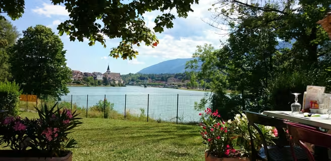
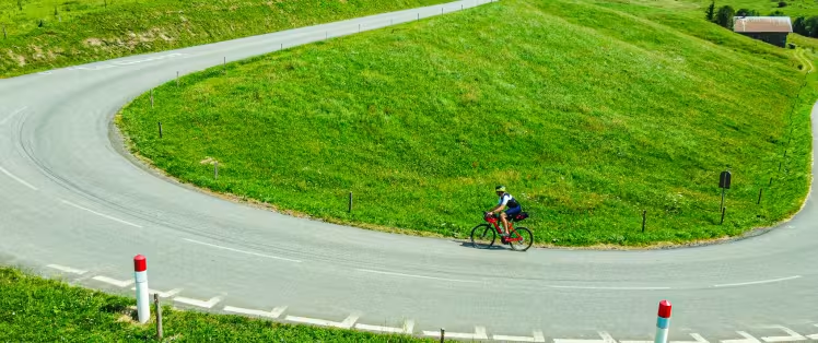
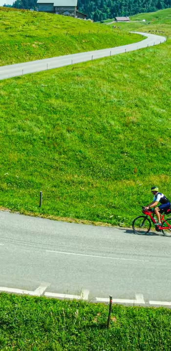
Having tackled Mont Salève, you come to one of the easiest stretches along the P’tites Routes du Soleil® cycle route. For 40km, the way provides easy, essentially downhill, cycling. Descending from Mont Salève, enjoy some extremely pretty viewing points before reaching Les Usses Valley, where you enter typical Haute Savoie countryside in a steep, verdant valley. Riding past old stone buildings, including churches, and past vineyards, along the way you’ll encounter one of the historic pilgrimage paths to Santiago de Compostela.
Gradients and elevation
Ascents: 612m
Descents: 1268m
Lowest point: 316m
Highest point: 1348m
Répartition des pentes
11km descente forte (< -5%)
15km descente légère (-5% à -1%)
7km plat (-1% à 2%)
7km montée (2% à 5%)
4km montée difficile (5% à 8%)
1km montée très difficile (> 8%)
Road types
44km (100%) de routes partagées
Surface
44km (100%) de surface lisse
Don’t miss
- Marlioz and Chaumont: pretty villages along the route, set in the midst of gentle, peaceful Haute-Savoie countryside.
- Vallée des Usses: with steep sides marked by mountain torrents as well as Les Usses River. You ride along in the shadow of Vuache (1,101m) and La Mandallaz (929m) mountains.