How to find your bearings along the Route des Grandes Alpes®?
Signposting in both directions
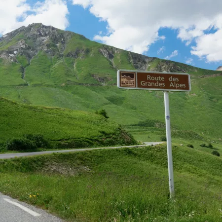
The Route des Grandes Alpes benefits from having tourist road signposting in place in both directions, along the whole length of the 720km of the main route. While the signposting was originally conceived for motorists, it allows cyclists to find their bearings very easily, riding in either direction, Thonon-les-Bains – Nice or Nice – Thonon-les-Bains. We do recommend, however, that you download the GPS tracks, available under the section marked ‘‘Cycle route’’ (‘‘Itinéraire’’ in French) or from the page “How to download the GPX tracks?” (“Comment télécharger les GPX ?” in French).
Are the alternative sections signposted?
No, the existing alternatives, including those that we’ve recently added (especially the stage via L’Alpe d’Huez), are not signposted. However, there’s little chance you’ll get lost! Nevertheless, we advise you to download the GPS tracks from the section marked ‘‘Cycle route’’ (‘‘Itinéraire’’ in French) or from the page “How to download the GPX tracks?” (“Comment télécharger les GPX ?” in French).
Where can I find the GPS tracks for the Route des Grandes Alpes® stages?
. You can download the GPS tracks for each stage in .gpx format directly from the pages devoted to the different stages, under the descriptions.
. You can download the complete tracks for the cycle route from the page ‘‘How to download the GPX tracks?’’ (“Comment télécharger les GPX ?” in French.)
. You can generate and download your own GPS tracks with the route calculator available via the Home Page by entering your starting point and end point.
How to read the GPS tracks?
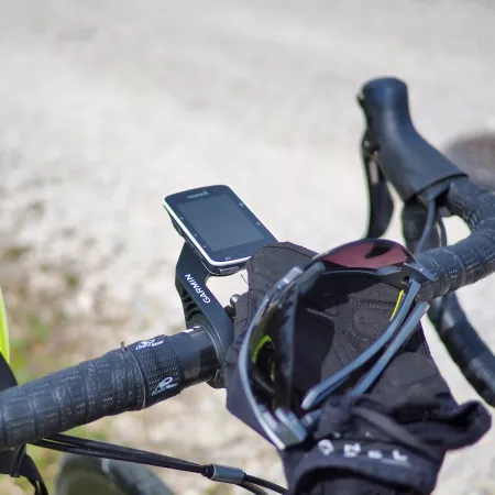
The GPS tracks available on the website can be easily read on bicycle GPS devices or on smartphones, via a dedicated app (gpx viewer, Outdooractive, Garmin Connect, etc.).
Can you use geolocation on the Route des Grandes Alpes® website?
Yes, when navigating on the website, a window pops up asking you to allow the website to access your location.
To allow this to be set up, when you’re in the section ‘‘Cycle route’’ (“Itinéraire” in French), by clicking on the round button, you’ll enable the geolocation to function. In turn, that allows you then to view your position in the context of the whole route and where you are relative to the various services available along the route.
Is there a Topoguide devoted to the Route des Grandes Alpes® à vélo?
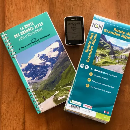
Yes, La Route des Grandes Alpes. À vélo et vélo électrique is a Topoguide published by éditions Glénat. It offers a detailed discovery of the cycle route and its riches, with all the necessary practical information to help you organize your trip by bike or e-bike, including maps, stage profiles, accommodation, places with battery recharging facilities and estimates of how much energy an e-bike battery will consume…
You can also download and print out the stage descriptions via the stage pages on the website by clicking on the button ‘‘download the PDF’’ ("télécharger le pdf" in French) below the description.
Which IGN map covers the Route des Grandes Alpes®?
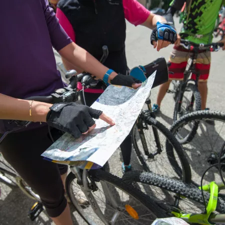
The IGN map, Route des Grandes Alpes® on a scale of 1:220,000, is an indispensable tool for anyone wishing to get a precise and an overall cartographical view of the cycle route. Cyclists using an e-bike can also find information on battery recharging points along the route.


