Topoguides, maps, beautiful books, websites…
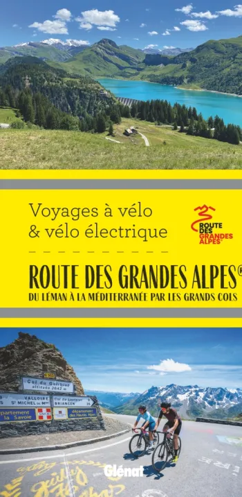
Is there a Topoguide to the Route des Grandes Alpes®?
Yes, and it’s entitled La Route des Grandes Alpes. À vélo et vélo électrique , published by éditions Glénat. It enables users to discover the route in detail, in all its diversity, with all the practical information needed to organize your trip by bike or e-bike. It includes maps, stage profiles, details on accommodation and places to recharge e-bike batteries, plus indications on how much energy your e-bike battery will consume…
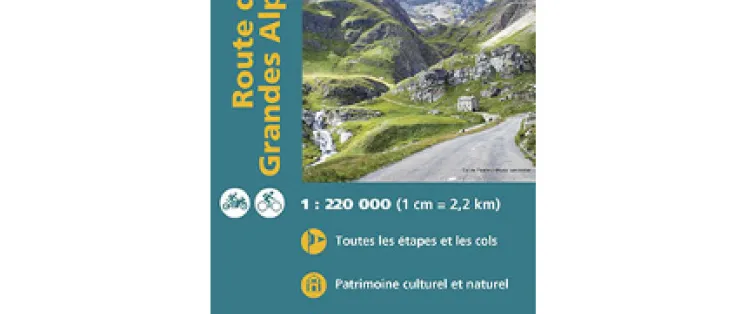
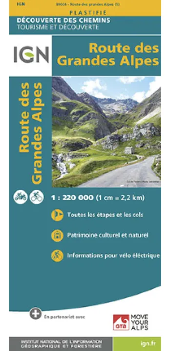
What’s the best map to use on the Route des Grandes Alpes®?
The IGN Route des Grandes Alpes® map on a scale of 1:220,000 is an indispensable tool, providing both an overall and a precise view of the cycle route. Cyclists using e-bikes will find information indicated on battery recharging points.
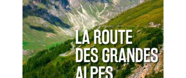
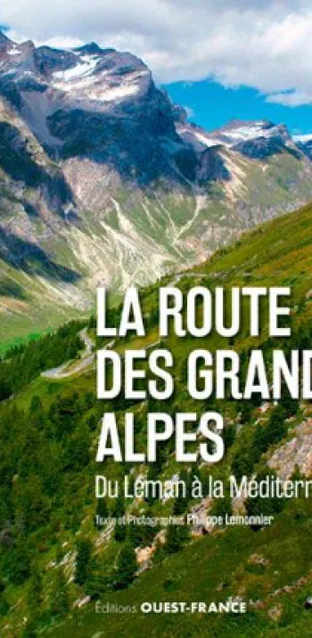
Looking for a souvenir or dreamy book about the Route des Grandes Alpes®?
Beautiful editions dedicated to the route do exist! For example, there’s La Route des Grandes Alpes. Du Léman à la Méditerranée, published by éditions Ouest-France… or, Carnet de cols, with black and white photos by Pascal Bachelet… or then La Route des Grandes Alpes, as told by Écomusée du Pays de la Roudoule, in the Mercantour National Park… not to mention all the works focusing on epic Tour de France episodes through the French Alps.
For all there is to know about the great Alpine passes on the Route des Grandes Alpes® and beyond…
There’s one website you should definitely consult: www.alpes4ever.com, run by our friend Joris Lesueur!