How to download the GPX tracks?
Here you’ll find the GPS tracks for the Route des Grandes Alpes in GPX format
For practical reasons, we’ve separated the main route from the alternative sections.
GPX main route :
GPX Alternative sections:
- V1 Annecy-Beaufort
- V1 Beaufort-Annecy
- V2 Bourg-Saint-Maurice-Valloire
- V2 Valloire- Bourg-Saint-Maurice
- V3 Valcenis-Briançon par l’Italie
- V3 Briançon-Valcenis par l’Italie
- V4 Valcenis-Briançon par l’Oisans
- V4 Briançon-Valcenis par l’Oisans
- V5 Guillestre-Barcelonnette
- V5 Barcelonnette-Guillestre
- V6 Barcelonnette-Saint-Martin-Vésubie
- V6 Saint-Martin-Vésubie-Barcelonnette
Where can I find the GPS tracks for the Route des Grandes Alpes® cycle route stages?
- You can download the GPS tracks for each stage in .gpx format directly from the pages covering individual stages, under the descriptions.
- You can generate and download your own GPS tracks with the route calculator available via the Home Page, by entering your starting point and end point.
How to read the GPS tracks?
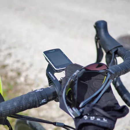
The GPS tracks available via the website are easy to read on most bicycle GPS devices or on a smartphone, using a suitable app (gpx viewer, Outdooractive, Garmin Connect, etc).
You may need to consult the instructions for your personal device(s), as they may include some subtle features to allow them to operate smoothly. There are countless tutorials you can view on the internet to get the most out of the tracks.
Some advice:
- The tracks can sometimes be slow to download as the files are large. Don’t hesitate to simplify them using suitable software such as https://labs.easyblog.it/maps/gpx-simplify-optimizer/
- The GPX tracks are there to provide you with general information only, and remember, there may be unexpected changes along the route (e.g. works, diversions, etc). Always take care!
- GPS devices are good, but enjoying the landscapes for yourself is better!
- Strava® is an excellent tool for preparing your cycling journey and sharing tracks.
