What are the distances and shifts in altitude involved along the Route des Grandes Alpes®?
What’s the number of kilometres? What’s the overall positive (uphill) shift in altitude? What’s the overall negative (downhill) shift in altitude? What about the steepness of the gradients?
Here are answers to these types of questions that you’re bound to be asking yourself.
What are the distances covered?
- Main cycle route: 720km between Thonon-les-Bains and Nice.
- Longest cycle route: 890km between Thonon-les-Bains and Nice, combining the main cycle route with a number of alternative sections (Lescheraines and Bauges, Col de la Madeleine, L’Alpe-d’Huez, Embrun and Serre-Ponçon Lake).
- Total distance covered by the six alternative sections: 607km.
- Longest alternative section: Val-Cenis - Briançon via Saint-Jean-d’Arves, Le Bourg d’Oisans, L’Alpe d’Huez and the Col de Sarenne pass.
- Shortest alternative section: Serre-Ponçon Lake (75 km).
What about the sections or stages?
- We’ve divided the Route des Grandes Alpes® into 26 sections, of which 14 are along the main cycle route, with 12 stages on the alternative sections.
- The longest section: Barcelonnette - Guillaume - Valberg (76km)
- The shortest section: Cluses-Le Grand-Bornand (30km)
- Number of sections classed as ‘‘very difficult’’: 12.
- Number of sections classed as ‘‘difficult’’: 14.
What are the altitudes reached?
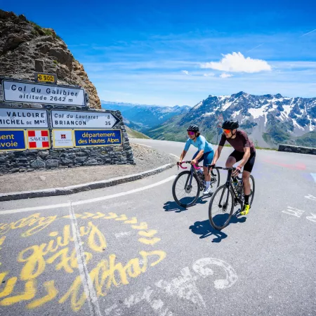
- Including both main route and alternative sections, the three highest points along the Route des Grandes Alpes® are: the Cime de la Bonette summit (2802m); the Col de l’Iseran pass (2764m); and the Col du Galibier pass (2642m).
- The lowest point, including both main route and alternative sections: Nice (0m, at sea level)
What shifts in altitude are involved?
- Total positive (uphill) shift in altitude going north-south on the main route: 17,104m.
- Total positive (uphill) shift in altitude going south – north on the main route: 17,511m.
- Shifts in altitude taking into account the main route and alternative sections: 32,000m.
- The section presenting the biggest shift in altitude: Barcelonnette - Valberg (+ 2,100m).
- The section presenting the smallest shift in altitude: Le Grand-Bornand - Lescheraines (+ 500m).
The top 10 hardest climbs
- Cime de la Bonette / north slope (2802m).
- Col de la Madeleine / south slope (1993m).
- L'Alpe d'Huez (1860m).
- Col du Galibier / north slope (2642m).
- Col d'Izoard / south slope (2360m).
- Col de l'Iseran / south slope (2764m).
- Col de la Croix de Fer / north slope (2064m).
- Col de Sarenne / south-east slope (1999m).
- Col de la Cayolle / south slope (2326m).
- Col de la Colombière / north slope (1613m).
What are the steepest gradients?
- The steepest gradient along the route, and its distance: 12% along 355m on the climb to L'Alpe d'Huez. We might also mention the ‘‘false pass’’ or faux Col de la Loze, at Méribel, in the 3 Vallées ski area, presenting cyclists with staggering gradients (up to 20%) lasting a few dozen metres.
- The 3 hardest slopes:
- No. 1: 8.5%, from km 10.3 to km 18.2, on the northern climb up the Col du Galibier.
- No. 2: 8%, from km 0 to km 14.5, on the southern climb to the Col de la Madeleine.
- No. 3: 8%, from km 0 to km 14 on the climb to L'Alpe d'Huez.
How many geographical areas does the route cross?
- 2 countries: France and Italy (venturing into the Italian region of Piedmont on the alternative section Val-Cenis - Briançon via Oulx).
- 2 French regions: Auvergne Rhône-Alpes and Provence-Alpes-Côte-d’Azur.
- 6 départements, or French counties, namely, from north to south (with their official number in brackets): Haute-Savoie (74), Savoie (73), Isère (38; for the alternative section Val-Cenis - Briançon via Saint-Jean-d’Arves / Le Bourg d’Oisans / L’Alpe d’Huez), Hautes-Alpes (05), Alpes de Haute-Provence (04) and Alpes Maritimes (06).

