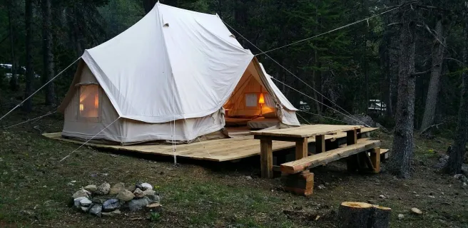
Briançon / Guillestre
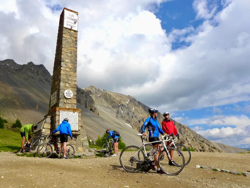
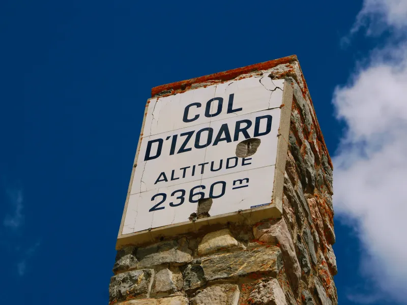
Depending on the direction in which you’re tackling the route, this iconic stage is either the first or the last on the southern half of the Route des Grandes Alpes®. It presents you with two cycling gems. The first is the climb to the Col de l’Izoard (2360m), passing via the Casse Déserte where, in the midst of impressive, arid surrounds, curious rocky spikes rise from the ground. The second is the crossing of the Queyras Natural Regional Park, dotted with beautiful villages, notably Arvieux and Château-Queyras, the latter with its 13th-century fortress. The giant Monte Viso Mountain looks down on it all from the Italian border. The two book ends stops on this stage are also remarkable: Guillestre, a pretty, colourful little town; and Briançon, awarded Ville d'Art & d'Histoire status for its rich heritage and forming part of a UNESCO World Heritage Site for its Vauban fortifications.
Gradients and elevation
Road types
Surface
From Briançon to Guillestre via the Col de l'Izoard and crossing the Queyras
Route North / South
↗ 1576m ↘ 1783m
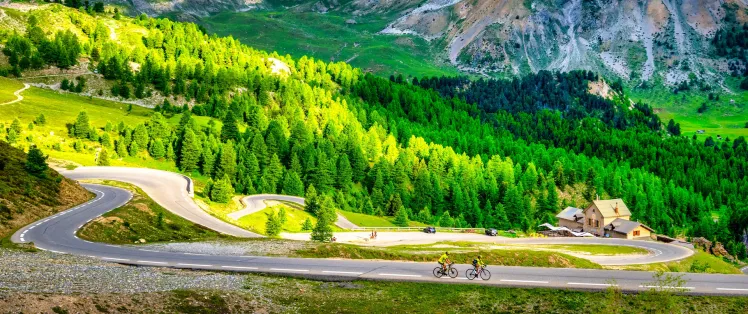
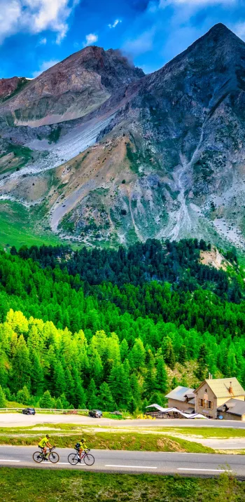
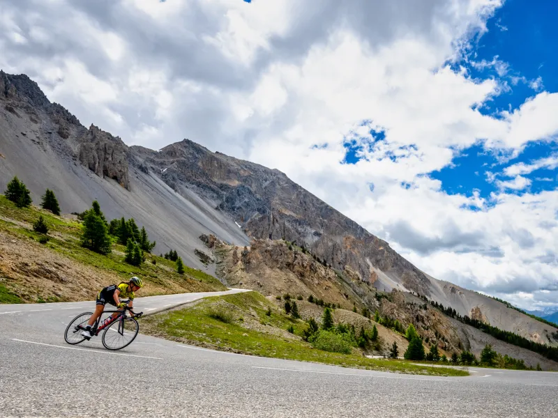
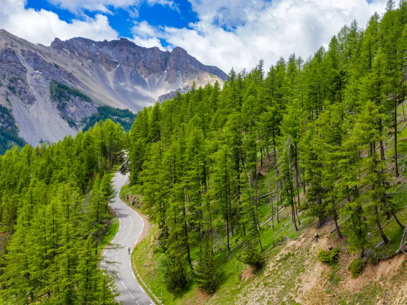
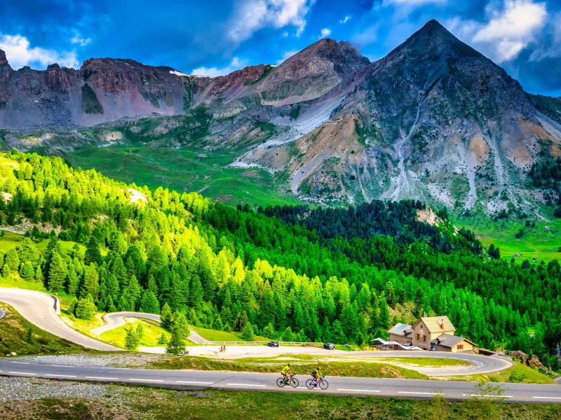
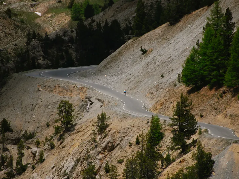
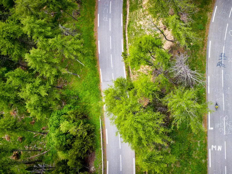
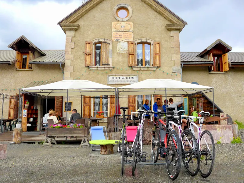
After crossing Briançon, the route climbs rapidly up towards the Col de l'Izoard pass (2360m), via Cervières, for c.19km, at an average gradient of 6.5%. The slopes are relatively regular. Approaching the top, as you ride past the Refuge Napoléon, you’re only 1km from the summit. After the Col de l’Izoard, you enter the Queyras area, crossing the extraordinary geological formations of the Casse Déserte. Continuing on, enjoy exploring this splendid traditional mountain area, declared a Parc Naturel Régional. Stop off at Arvieux and Château-Queyras before descending to Guillestre, set on the edge of the Forêt Blanche ski area, which includes Risoul + Vars.
Route South / North
↗ 1783m ↘ 1576m
From Guillestre, on the edge of the Forêt Blanche ski area, which includes Risoul + Vars, cycle via Château-Queyras to Arvieux. Crossing the Queyras Range, protected as a Parc Naturel Régional, you reach the foot of the difficult climb to the Col de l'Izoard pass (2360m). While you may have found the first 17km of this stage from Guillestre easy, that won’t be the case with the ensuing 15km, the stretch at Brunissard punishingly steep. A few hairpin bends further up, you cross the extraordinary geological formations of the Casse Déserte, before taking on the final two kilometres, which prove exceptionally challenging. After passing in front of the Refuge Napoléon, enjoy the lovely, steady 19km descent via Cervières to Briançon.
Don’t miss
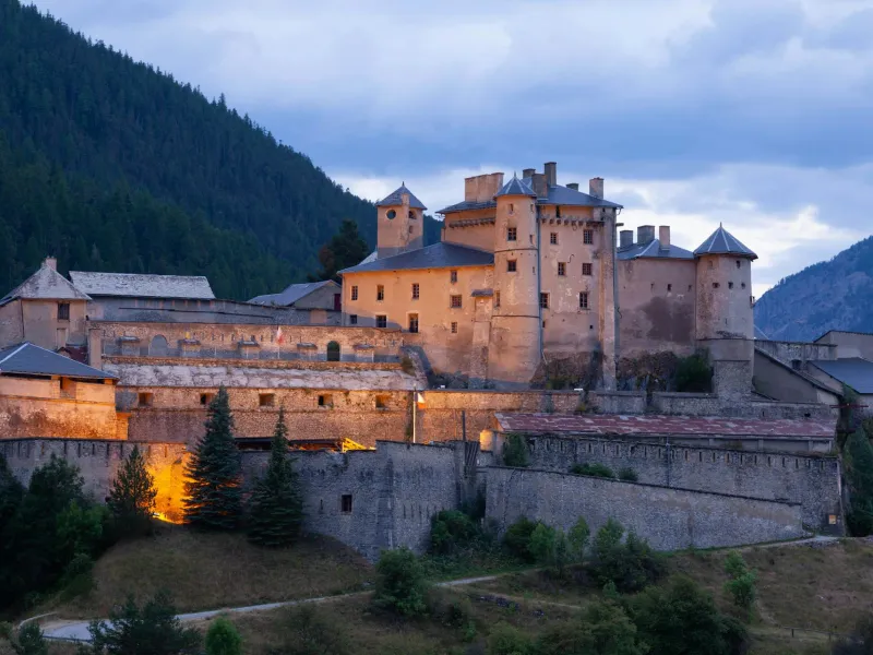
- Briançon: the highest fortified town in Europe, designated a Ville d’Art et d’Histoire for its rich heritage and part of a UNESCO World Heritage Site for its Vauban fortifications. In addition, the mountain resort of Serre-Chevalier 1200 forms part of its territory, the lowest portion of the ski area of Serre-Chevalier, joined to the rest of the domain by cable-car.
- The Vauban fortifications: Briançon’s historic walls, bridge into town and surrounding four forts are part of a UNESCO World Heritage Site dedicated to works designed by Vauban, Louis XIV’s brilliant military architect.
- Cervières: behind the village, the Vallée des Fonts is a peaceful natural gem, the traditional local heritage here unspoilt.
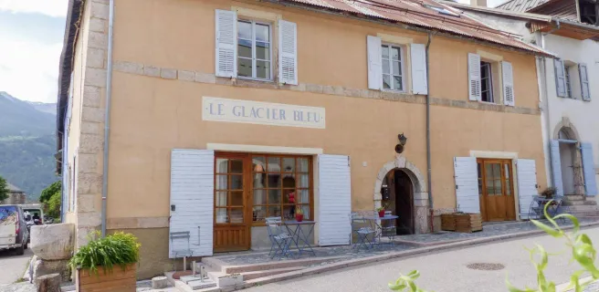
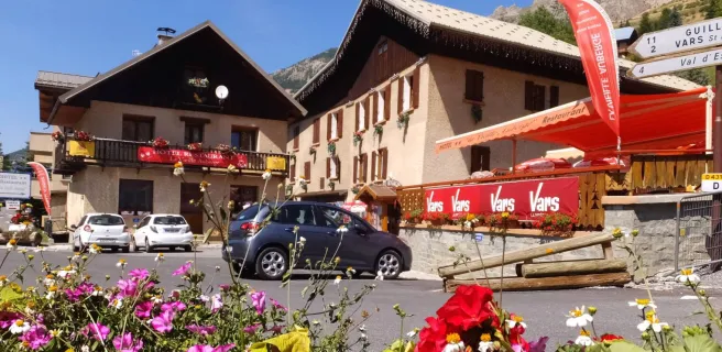
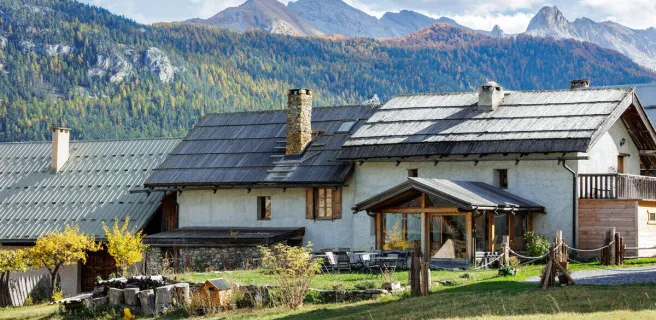
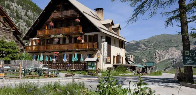
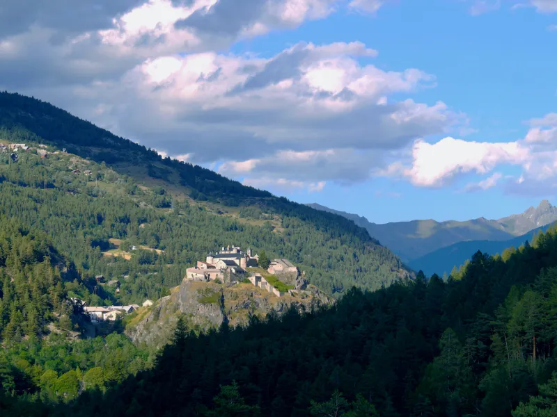
- The Queyras: the Parc Naturel Régional du Queyras is a long-inhabited rural mountain area, recognized at national level for its exceptional landscapes and heritage. Eight traditional villages* plus the lovely little town of Guillestre welcome visitors to the range, which remains both peaceful and wild, the great mountain of Monte Viso a dominating presence just on the Italian side of the border.
- *Abriès, Aiguilles, Arvieux, Ceillac, Château Ville-Vieille, Molines-en-Queyras, Ristolas and Saint-Véran.
- Queyras Fort: Known in times past as Château Queyras, Queyras Fort, built in the 13th century, then remodelled by Vauban at the end of the 17th century, rises above Château-Ville-Vieille, one of the Queyras area’s eight traditional villages.
- Mont-Dauphin Fort: in 2008, this Vauban-designed stronghold was included, along with Briançon and some ten other Vauban sites dotted around France, in a specific UNESCO World Heritage Site dedicated to the works of Louis XIV’s brilliant military engineer.