Valberg
Beautiful slope, beautiful road
Altitude 1673 m
Massif du Mercantour-Argentera
Département Alpes-Maritimes
Topo versant Ouest
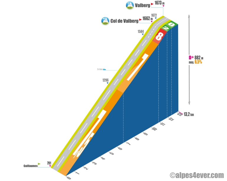
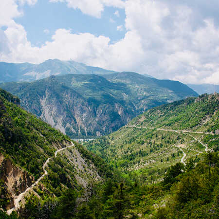
Starting from Guillaumes, it's a 13.2 km climb on an excellent road, with a very regular profile, but wearing at 7-7.5%, with no flat areas to restart. In the final stretch, you'll need to make a 1 km effort at 8% to reach the Col de Valberg - 1662 m. All that's left is a pleasant 1.3 km false flat to reach the Valberg resort.
Versant Ouest via Péone
Starting from Guillaumes, here's another, quieter 14.4 km variant that takes you through Péone. The average gradient will be a little less steep (between 5 and 8%), but won't let you down all the way to Valberg.
Topo versant Est
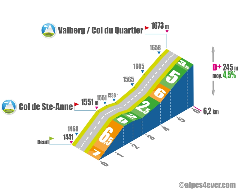
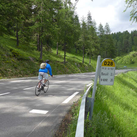
Starting from Beuil, this climb is one of the shortest on the Route des Grandes Alpes at 6.2 km. An initial ramp of 1.6 km at an average gradient of almost 7% takes you up to the Col de Ste-Anne - 1551 m. Then a gentle descent takes you to the foot of the final 1.7 km without too much difficulty - 6% max over 670 m - to Valberg. A little bonus for pass hunters: at the same time, you'll cross the Col du Quartier - 1673 m. Note also that you'll cross the Col de Valberg - 1662 m - at the start of the descent on the opposite side.
